


All trails in the United States


Ready to explore the best equestrian trails in the United States? Equilab offers thousands of riding routes for scenic strolls, endurance training, and more. Discover verified trail maps to find the perfect path for your next adventure, and then track your ride – all using the world's best horse riding app.
Most popular trails


Meadow to Bells mill and back

Nice wooded trail on soft logging roads.

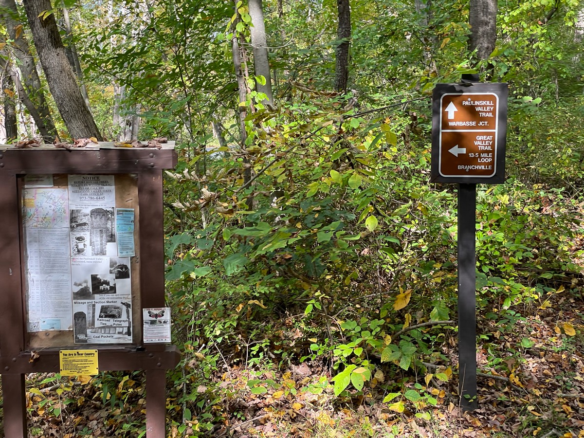
Mixed, Sandy and medium, flat and hillySignage 1 and 2

Walden Pond Fairhsven road

Steep, gorgeous, very poor signage. At the t go left, not right to the peak
About 1 hr 30 min (if mostly walk)
finally, did the whole newts trail Ôøº
Light traffic; grassy equine trails with shared trail crushed gravel
Large variety of areas, lots of hills but can do small loop and avoid them.

Started from one of the first parking lots which is more spacious, went into the woods and then got back on the paved loop at the end of the covered bridge trail to complete the loop.

Rugged & Gravel roads.
Good for fast riding
Loop through water
Nice trail, went to side of trail many times Ôøº
Open space. Vistas. Cacti
Big loop to dead deer left on 16 right at the end the right
Leaving Douthat State Park from Beaver Dam camp and entering the GWNF - we just did a 10 mile out and back but the full trail loop is 21 miles.
Big loop clockwise to 2/3 right to dd run
Baxter to Keeler to Monomoy turtle bridge --> home


Watson Mill: Green - Orange - Green - Blue - Gray - Brown - Green
Wooded and field trails
Lookouts and Ridge trail
Good trail some hills

Flat, pea gravel, with high bridges and a Tunnel. Cost $11 to park trailer

East Fork Waterfall Loop

Along the dike, between the bay and the pacific. Then down to the pacific ocean beach.
Beautiful & lots of trotting

Loop used by Equine Community Resources for their September trail challenge and poker ride fundraiser. No water in camp. Hoof protection recommended.

Jack’s loop in Big South Fork. Nice easy ride with plenty of options to gait.
Lots of muddy spots but marked well now. Bridges are nice. A bunch of fallen trees easy to step over.
Lots of climbing and rocks
Texas Trail Challenge Club - Rocky Road 2025 - trail for Saturday. Combination of many trails at Parrie Haynes Ranch.
Ponderosa and big loop
This is part of the one of the 50 loops at eagle canyon

Dirt in the woods, crushed stone in the open


County Park. Beautifully maintained trails

Fun by the river
Deep sand with hills. Lots of wildlife. Possible swimming with horses
Very scenic grassy trail with some areas with rocks

Pines, sand , gravel road, seasonal road, two track

New parking area- Changing terrain. Woods, fields, rocks, water crossing, road crossing. Ties in the shorter loop from older parking area, bypasses the old wooded rocky trail, goes up the hillside and back down across the road to the cannon fields. Does not cross the slick creek
Wooded trails with areas of more open areas

First time riding out at Shimek Park!

Soft dirt, moderately rocky footing. Long, good hills. Gorgeous views of American River.
Partly on asphalt road but mostly dirt. Three levels of climb. Beautiful views. Occasipnally some dirt bikes but are respectful. Great work out for horse and rider.
Almost all the trails at the Allen County Horse Trails

Great campground with bathroom, picnic tables.
A combination of fire lines and established trails

Varied terrain from rocky roads to narrow trails. Cannot be done without hoof protection.
Plenty of trail options. Nice wide smooth as well as steep & more complicated. Creek crossings. There is a gravel pit up top people use target practice. Saw some very recent bear sign. Campsites are big, open, clean, have highline poles. Water spigots. Muck boxes. Clean restroom.
Easy loop out the main way and back on the nice trail.
Rolling wooded trails

This is the middle, Miner lake
Great trail to leg up your horse.
Folsom Lake beach trail out of Sterling Point
Short section of start trail. Keep right at all crossroads.

Not sure if we’re supposed to be riding on one piece of the road, signage is not clear 

Rocky, lots of up and down.
Good for a nice trot
Back by Bellwort
All trails in the United States
Ready to explore the best equestrian trails in the United States? Equilab offers thousands of riding routes for scenic strolls, endurance training, and more. Discover verified trail maps to find the perfect path for your next adventure, and then track your ride – all using the world's best horse riding app.
FAQ about Equilab trails
You can explore these trails and many more within the Equilab app! Simply download the app onto your mobile device, create an account, and then head to the “Track” tab. There you can view thousands of trails to discover and ride.
No, Equilab empowers equestrians everywhere to discover and ride trails for free! By creating an account within the app (no payment needed), you will be able to see and ride all public trails. Our Premium subscription offers great additional features, which you can learn more about here.
You can control the visibility of any trails you create using Equilab by selecting different privacy options when saving the trails. If you choose to make a trail "Public", it will be visible here on our website and to anyone using the app. Private trails, on the other hand, are only visible to you and (if you're a Premium user) anyone you share them with. Note: If you rode on private property, we strongly recommend saving your trail as "Private".
Equilab’s list of trails currently only includes those that have been tracked by riders using the Equilab app. As a result, there are still many trails not yet included in our platform. Anyone can track trails and add them for free, however — giving you the chance to help others discover new places to ride!
Yes! You can add a trail from any ride you track using the Equilab app. To so, simply download the app, create an account, then record your ride on the trial.
Note that to create a trail, the ride must be at least 0.6 miles long, have taken at least 5 minutes, and must not have been tracked within an arena.
Our community members have added more than 35,000 public trails, and new ones are added every day. We hope you enjoy exploring them!

Contact our team
Feedback & Help
support@equilabapp.com
Press and Partnerships
marketing@equilabapp.com
Business Inquiries
admin@equilabapp.com


