


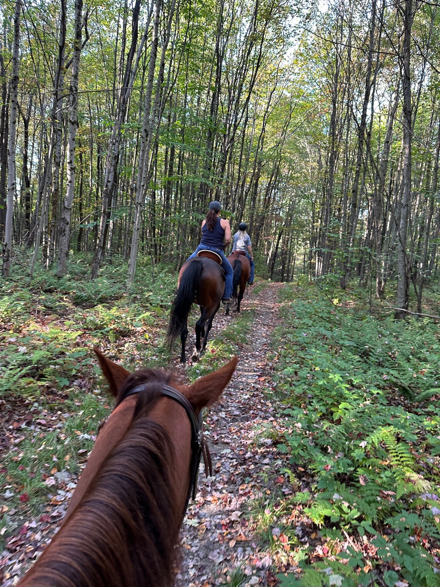
All trails in the United States


Ready to explore the best equestrian trails in the United States? Equilab offers thousands of riding routes for scenic strolls, endurance training, and more. Discover verified trail maps to find the perfect path for your next adventure, and then track your ride – all using the world's best horse riding app.
Most popular trails


A bit rocky but ok for a beginner.


Lots of hills. Wide trail. Hard rock faces with some climbing. There are off highway vehicles that share the trail. But it was pretty desolate and absolutely gorgeous with great views of the Superstition Mountains coming back in. Large parking lot with good horse trailer parking.
Flat, 1 creek, wide areas for riding 2-3 abreast, areas to canter, gates to open close, cows, bridge to cross, sand, no gravel.
Good ride on Kodi actually

Grass has woods be careful for holes

Andrea visit / Tom and Jerry visit

It's Norco, duh.

Quiet. Peaceful. Beautiful. Lots of trails
Wide logging road type trail. Multi use. Well maintained except downed trees take awhile to be cleared. Lots of water enterences for dogs, too muddy for horses. Parking area is good for smaller trailers. Large trailers may have issues turning around. Super busy during fishing.
Manzanitas trail system

Black trail from far side of camp

Trails need to be mowed and maintained. Footing was ok, but very wet in some areas. Also, VERY buggy! The incline at the creek was very dangerous. It is not due to horses! It’s obvious it’s caused by ATV’s or other motor vehicles.


NW loop follow paper map
under a power line, long but rocky and steep
The slightly longer version

A soft and easy trail in cave creek
Yellow green Trail Ôøº
Meandering trail through the cinders
Colt creek state park multi use trail

Mostly wooded with a water crossing. Bridges

Shale pit up the road from barn

Minimal rock and very flat. Water access in multiple places. Lots of twists and turns for shoulder work and long flat areas with good footing for trotting.


Connected both loops via happy hollow rd/river to river
Beautiful desert scenery. Rocky in places.
Fairly flat along farmland and through the woods 
Beginning conditioning loop for endurance. Quick and easy ride
Big way to Wilson

Forested. Elevation changes


Easy with Timbers and meadows. No electric.

Wooded. Some two track
To spruce creek Tepee trail
Loop around York Trail and vineyard.


Calm trail, open, single track, flat, no rocks
East Fork State Park Batavia, Ohio

It is a nice trail I don't recommend this for green horses because there is buggies and biks and sit in bikes. So after the bridge we also go down into the river and have a slashing good time! Lol (the trail is future but we got tired lol.

Deam Lake Recreation Area
Nice easy trails
Loop to Hinshaw Road and back
Premier jour sentier à partir du dîner

Some rocks, but nice multi-usr trails.
Roadway to first house besides the big curve.
Begins at Artillery Ridge Campground (Horse Trailer Parking for campers only) Connector Trail Only - Dead Ends at ARCPublic parking at McMillan WoodsIncludes seasonal closure section - This part of the trail is closed to horses on weekdays only:April, May and October.

Bridlepath on Euclid made for horses

Started at Circle B (now Trailhead Hideaway), cut across to near Hayes Canyon, road ride to Shotgun Eddie’s. Stopped by Hayes Canyon on the way back to ride by the barrel.

View of the valley from top Scenic Ridge
Foxboro requires a membership or daily passhttps://foxborohorsefarm.com/foxboro-riding-club/
Easy, rocky, pipeline
BP Groton house and Appleton
Limited trailer parking off of Clayton Ave
Rocky but has good flat spots with canter areas. Some dogs and bikes

To the left of the boat ramp wide clear trails. To the right of the ramp narrow trail down by the water. Better to stay on the trails higher up.
Half trail half pavement


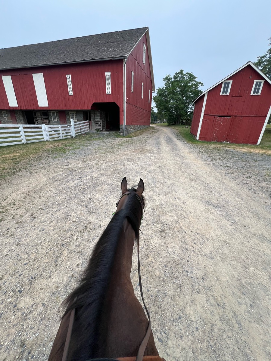
All trails in the United States
Ready to explore the best equestrian trails in the United States? Equilab offers thousands of riding routes for scenic strolls, endurance training, and more. Discover verified trail maps to find the perfect path for your next adventure, and then track your ride – all using the world's best horse riding app.
FAQ about Equilab trails
You can explore these trails and many more within the Equilab app! Simply download the app onto your mobile device, create an account, and then head to the “Track” tab. There you can view thousands of trails to discover and ride.
No, Equilab empowers equestrians everywhere to discover and ride trails for free! By creating an account within the app (no payment needed), you will be able to see and ride all public trails. Our Premium subscription offers great additional features, which you can learn more about here.
You can control the visibility of any trails you create using Equilab by selecting different privacy options when saving the trails. If you choose to make a trail "Public", it will be visible here on our website and to anyone using the app. Private trails, on the other hand, are only visible to you and (if you're a Premium user) anyone you share them with. Note: If you rode on private property, we strongly recommend saving your trail as "Private".
Equilab’s list of trails currently only includes those that have been tracked by riders using the Equilab app. As a result, there are still many trails not yet included in our platform. Anyone can track trails and add them for free, however — giving you the chance to help others discover new places to ride!
Yes! You can add a trail from any ride you track using the Equilab app. To so, simply download the app, create an account, then record your ride on the trial.
Note that to create a trail, the ride must be at least 0.6 miles long, have taken at least 5 minutes, and must not have been tracked within an arena.
Our community members have added more than 35,000 public trails, and new ones are added every day. We hope you enjoy exploring them!

Contact our team
Feedback & Help
support@equilabapp.com
Press and Partnerships
marketing@equilabapp.com
Business Inquiries
admin@equilabapp.com


