


All trails in the United States


Ready to explore the best equestrian trails in the United States? Equilab offers thousands of riding routes for scenic strolls, endurance training, and more. Discover verified trail maps to find the perfect path for your next adventure, and then track your ride – all using the world's best horse riding app.
Most popular trails


Gilber neighborhood mostly asphalt
Hilly but goes through the lake and that’s fun.

Slightly rocky, parking at fairgrounds

Wide trails rolling open and woods
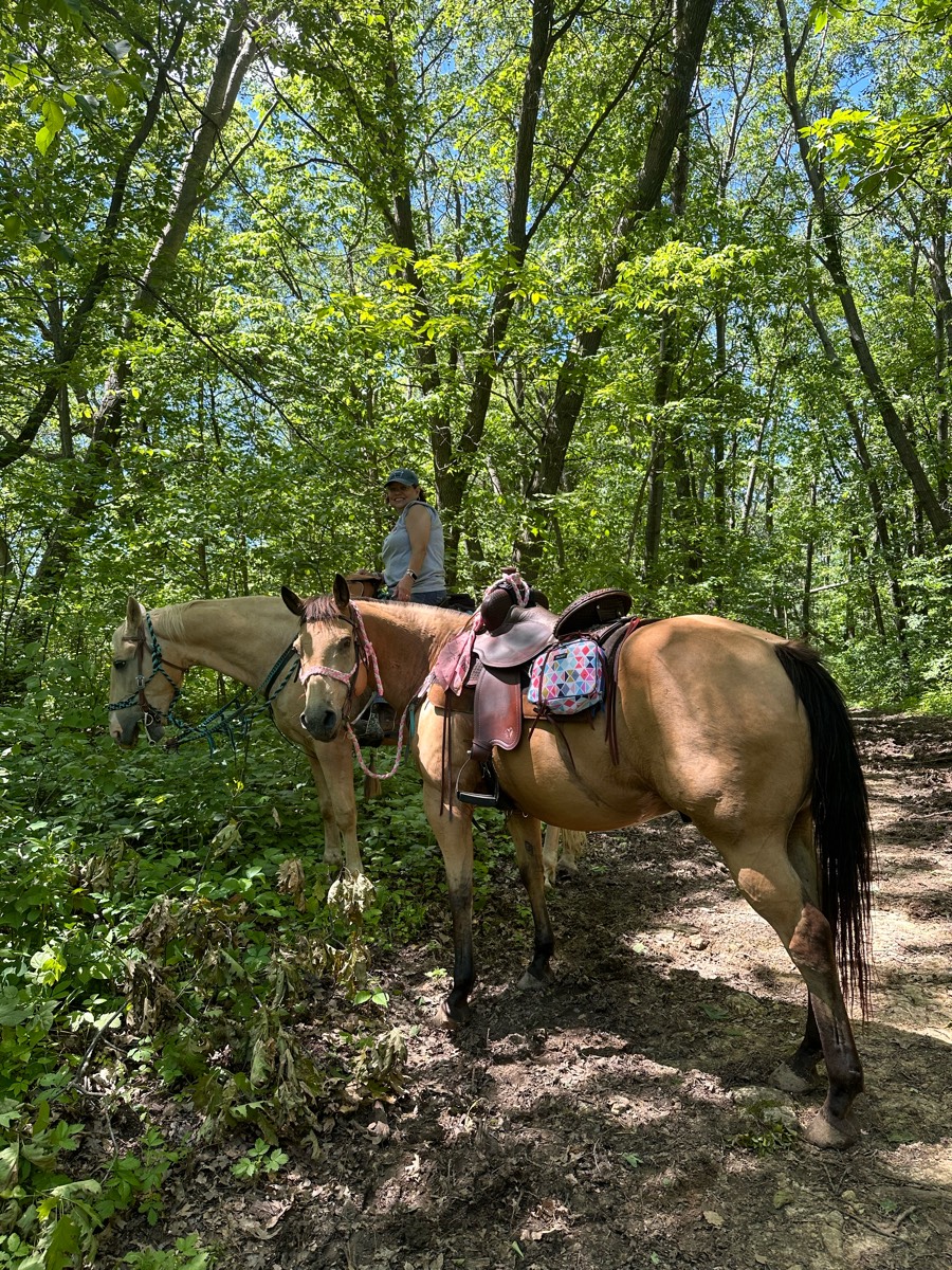
Ferguson Steps to Bromfield's Junglebrook Trail
Rocky at the beginning, then muddy

Hard pack gravel surface. Slight hills, some potholes. Recommend hoof boots on barefoot equines. Some interesting sights along the way.
2 stream Crossings; Some logs very hilly.

Road with single track. Only horses and hikers allowed.
Long flat wide grassy shoulder
Marked with blue and white circles. Some red circles too.
Start and end at Elkins creek-Kimble loop
Easy trail along the lake side


Beginner level trail
yellow, white, blue yellow

A lot of flat but some nice elevation

Two track along power lines
Leave by day use and return by arena.

Rock peak Wash, right on Santan, Left on Hedgehog, Left on Santan, Right on Rock Peak Wash

West loop at sleepy hollow state park. It does cross bike trails and walks next to the road briefly. You occasionally see people walking


Waterfall ride to dry river bed.
Moderately challenging

Wide, easy trails with few Rocks and some bridge crossingsThis is a Massachusetts State Park, so you have to pay for use of the parking lot with credit card or an appHorse trailers. Park in the field. Next to the car parking lot. Lots of space to just turn around.
Lots of downed trees. Rise and fall of elevation

Sand and Hills, Ride on the lakeshore
Gravel double-track. Gentle hills. Hikers, bikers, view of boats on the water below.

Ocotillo to Javelina Pass to Sidewinder to Ridgeback to Ocotillo to Apache Wash Loop
Camp McClellan
Easy trail. Lots of bikes
Easiest place to park and ride in the Bay Area. Giant parking, friendly rangers, wide flat trails with no dogs off leash. Best place to take green horses or beginner riders!

Woods roads with some gravel
Easy loop for a walk or faster ride. About half an hour at a walk
Park off Spicewood springs road along upper bull creek


Rocky not good for trotting, pretty
Road riding then gravel
From parking lot to cave b winery
Single track and long flats
Peralta regional park


The white section of the trail is nice it’s flat and doesn’t have very many rocks. The red trail is a lot rockier and has a small water crossing. I definitely recommend boots or shoes for the red trail.
Half gs ride broncs

Mostly road and beautiful views
Lots of hills - almost exclusively in the woods.
Black elk wilderness to Mt Rushmore

Mostly our usual trail plus some deer chasing
Orange to Clark Creek rd Green to left on RedRed to Blue short trail Blue to Yellow. Yellow to parking lot

Many miles of trails along rivers and through rivers and up and down mountains
Long winding near water

1 RtT bridge. 1 vehicle bridge. Bicyclists. 1-2 places of larger rock (5-6” diameter). Otherwise, a flat, easy trail. Sand or hard-packed dirt.


Climbing woods Rocky varied
T bar s second day trail

Mostly trees, hot and muggy
Woods and fields around Dutch Hollow Lake
Easy with some hills and 1 creek

Beautiful wooded forest

Trail from MZ Equestrian through the park and around the lake

Trees & meadows. Cross country jumps
Easy all gaits plus pull offs for picnics
Equestrian, bike, and Pedestrian path
Hard trail with newbies
Wide easy trails for a pleasurable day of riding or to train youngsters. Cross 174 to access more trails
Sandy, rocky trail
Santan to stargazer to moonlight

All trails in the United States
Ready to explore the best equestrian trails in the United States? Equilab offers thousands of riding routes for scenic strolls, endurance training, and more. Discover verified trail maps to find the perfect path for your next adventure, and then track your ride – all using the world's best horse riding app.
FAQ about Equilab trails
You can explore these trails and many more within the Equilab app! Simply download the app onto your mobile device, create an account, and then head to the “Track” tab. There you can view thousands of trails to discover and ride.
No, Equilab empowers equestrians everywhere to discover and ride trails for free! By creating an account within the app (no payment needed), you will be able to see and ride all public trails. Our Premium subscription offers great additional features, which you can learn more about here.
You can control the visibility of any trails you create using Equilab by selecting different privacy options when saving the trails. If you choose to make a trail "Public", it will be visible here on our website and to anyone using the app. Private trails, on the other hand, are only visible to you and (if you're a Premium user) anyone you share them with. Note: If you rode on private property, we strongly recommend saving your trail as "Private".
Equilab’s list of trails currently only includes those that have been tracked by riders using the Equilab app. As a result, there are still many trails not yet included in our platform. Anyone can track trails and add them for free, however — giving you the chance to help others discover new places to ride!
Yes! You can add a trail from any ride you track using the Equilab app. To so, simply download the app, create an account, then record your ride on the trial.
Note that to create a trail, the ride must be at least 0.6 miles long, have taken at least 5 minutes, and must not have been tracked within an arena.
Our community members have added more than 35,000 public trails, and new ones are added every day. We hope you enjoy exploring them!

Contact our team
Feedback & Help
support@equilabapp.com
Press and Partnerships
marketing@equilabapp.com
Business Inquiries
admin@equilabapp.com


