


All trails in the United States


Ready to explore the best equestrian trails in the United States? Equilab offers thousands of riding routes for scenic strolls, endurance training, and more. Discover verified trail maps to find the perfect path for your next adventure, and then track your ride – all using the world's best horse riding app.
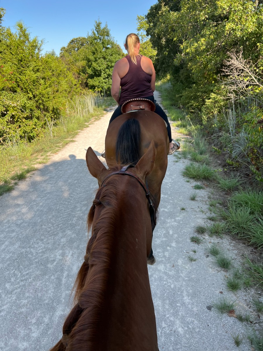
Most popular trails


Lake loop with extension near cemetery


Extremely challenging two hour trail ride
Third ride and learned new trail connections
Easy flat trail with minimal rocks
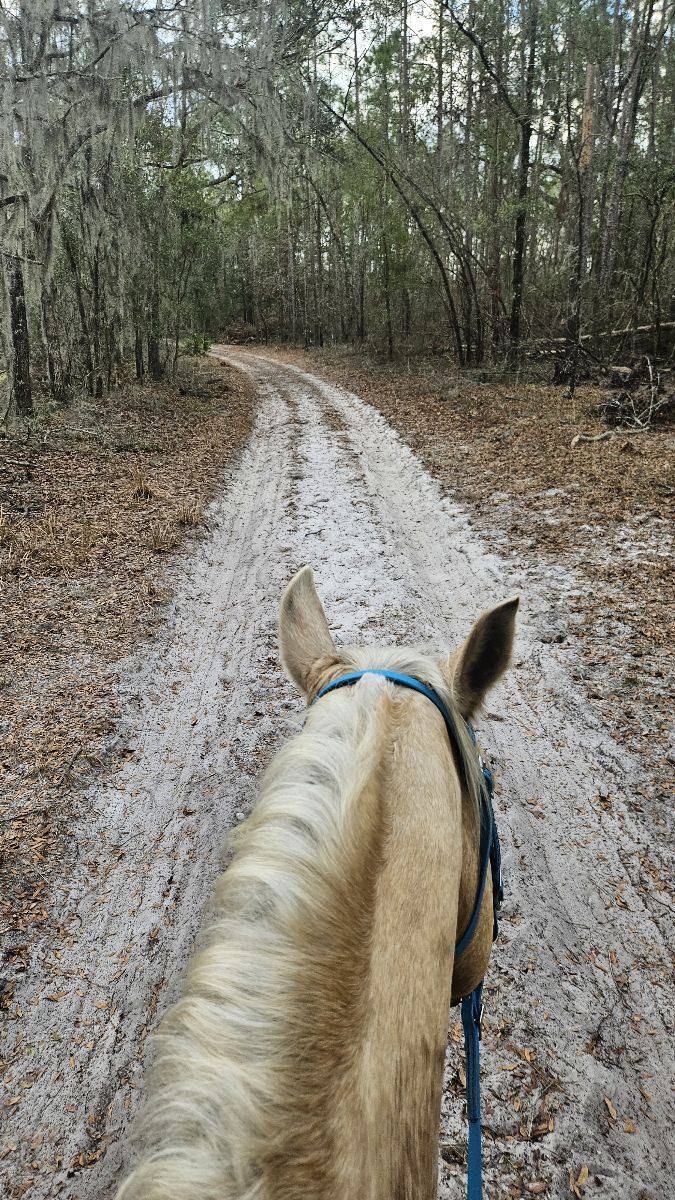
Flat, sandy, some wet spots. Overall great ride


Big way to Wilson


Beautiful, full foliage ride


Sheyenne National Grasslands


State Park, Illinois
Clean quite water crossings

County park with mixed use (horse and bike) trails. Woods and fields.

Lots of rocks and up and down in canyons Ôøº
No So to Blevins to Cat Peak to Pass Mountain then Talon down to Chain fruit and back on Blevins.Some steep ravine crosses on Pass Mtn and inclines but mild on remainder of trails

Can be a good trail
Two tracks single track
Wash and a lot of ups and downs
Smaller hills and varied footing, can ride longer trails or criss cross throught the inner trails to make it longer. Some lime rock areas to navigate, sometimes there's canoe trailers
Sandy - wooded - two track - beach
Apache South and pine ridge
Around neighborhood to Dr Chris farm and Houston garms

Nice park, soft footing which allows for trot and canter in a lot of areas, the loop that stays on the flat is about 2.2 miles so we usually do 2 loops to make it worth. There are hikers, bikers, people with dogs, never had a bad experience.
Mostly flat with occasional rise.

Small parking lot. One way in & out unless you go on the logging roads.

Hilly, water views, single track, dense woods
Only hard part is 2 step ups on rocks on the climb to the overlook.

Jack’s loop in Big South Fork. Nice easy ride with plenty of options to gait.
For a short tough climb, head East on the trail towards Cowboy Camp. Make a left towards Firebreak. At the junction, take Switchback Spur through the creek. Hang a right on Just An Hour. Cross the road and make a left onto Butterfly Spur. Follow downhill to Donnas to Medford Rd.
Easy Laid-back Ride
Flash is fucking huge horse. He’s fast and rides like a fullback but was fun. (Flash is a race horse)
Quick neighborhood hack
Easy trail. Lots of bikes

Some obstacles like down trees. Overall a beautiful trail
Deam Lake Trail and Three Hills Trail
Straight gravel road with hills

Granite Bay trailhead.
Flat, easy ride. Great conditioning for your horse. You can cool off in the lake as well.
Towards vrey barn, schoolyard, hay field to dam.
Rolling trail along NM 4 on the Fence Canyon trail and down Potrillo Canyon a little bit, then back into Pajarito Acres.
Woods, greenway, hills
River crossings, nice trails
Easy. Good gaiting

Hills but moderate
Crossing the Salt River at Tonto Forest
Trail head to swamp, amarmafio est to deer have

Cabben and trails that you can take your horses to. There's stalls to keep horses in as well.
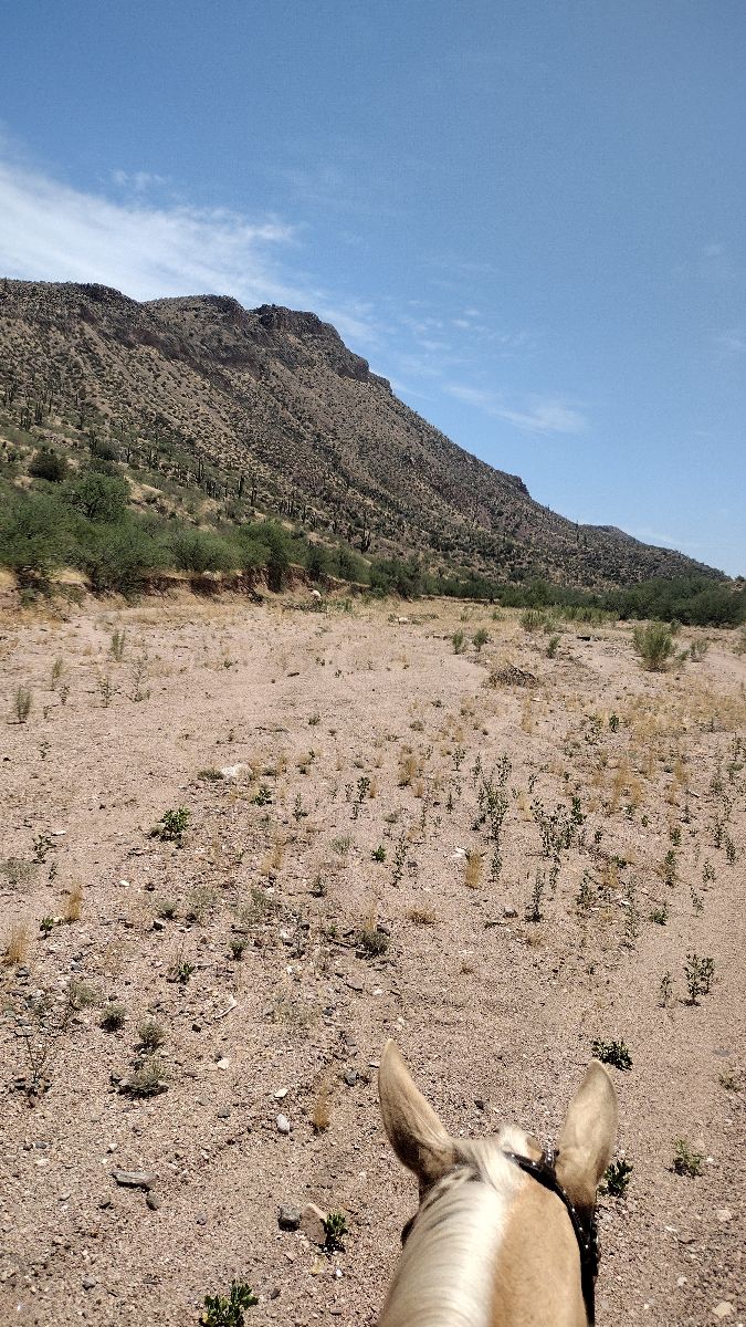
Sandy wash through a canyon
Long flat straight trail with lots of shade
Abuts road at some points, traffic visible through trees. Crosses edge of Archery range at pond.

Public park, miles of trails

Rocky with some smooth areas
Rocky af but a nice dirt road to race on. Lots of flat tires though

Hilly, big rock scenery, great footing. Rocco led at great pace‼️

Some rocks and steep hills
Barn to yellow house road

Take Belvins trail to Amigos wash (great for loping) & back to Belvins to finish the loop.
All trails in the United States
Ready to explore the best equestrian trails in the United States? Equilab offers thousands of riding routes for scenic strolls, endurance training, and more. Discover verified trail maps to find the perfect path for your next adventure, and then track your ride – all using the world's best horse riding app.
FAQ about Equilab trails
You can explore these trails and many more within the Equilab app! Simply download the app onto your mobile device, create an account, and then head to the “Track” tab. There you can view thousands of trails to discover and ride.
No, Equilab empowers equestrians everywhere to discover and ride trails for free! By creating an account within the app (no payment needed), you will be able to see and ride all public trails. Our Premium subscription offers great additional features, which you can learn more about here.
You can control the visibility of any trails you create using Equilab by selecting different privacy options when saving the trails. If you choose to make a trail "Public", it will be visible here on our website and to anyone using the app. Private trails, on the other hand, are only visible to you and (if you're a Premium user) anyone you share them with. Note: If you rode on private property, we strongly recommend saving your trail as "Private".
Equilab’s list of trails currently only includes those that have been tracked by riders using the Equilab app. As a result, there are still many trails not yet included in our platform. Anyone can track trails and add them for free, however — giving you the chance to help others discover new places to ride!
Yes! You can add a trail from any ride you track using the Equilab app. To so, simply download the app, create an account, then record your ride on the trial.
Note that to create a trail, the ride must be at least 0.6 miles long, have taken at least 5 minutes, and must not have been tracked within an arena.
Our community members have added more than 35,000 public trails, and new ones are added every day. We hope you enjoy exploring them!

Contact our team
Feedback & Help
support@equilabapp.com
Press and Partnerships
marketing@equilabapp.com
Business Inquiries
admin@equilabapp.com


