


All trails in the United States


Ready to explore the best equestrian trails in the United States? Equilab offers thousands of riding routes for scenic strolls, endurance training, and more. Discover verified trail maps to find the perfect path for your next adventure, and then track your ride – all using the world's best horse riding app.
Most popular trails


Carlisle - North Loop to Vistor Center and back


Lots of different terrain, shallow water, black mud, deep water, and it overgrown but lots of fun. Has soft sand and some good cantering spots in the grass. One of my main loops!

Very pretty. Well groomed terriable horse trailer parking. Very small

Great loop for sustained long trots. Not much hill or elevation work though.


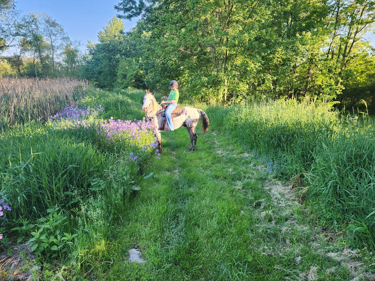
Beautiful ride with lots to see especially in the spring the flowers are plentiful.

Easy to moderate trail. Mostly flat with a few hills. Some rocky areas but mostly barefoot friendly.

Lake Lowndes horse trails

Hilly with some steep elevation changes on the hill but very flat on the main trail

Mostly sandy terrain with moderate elevation changes
Woods and fields around Dutch Hollow Lake
Orange red yellow jeep
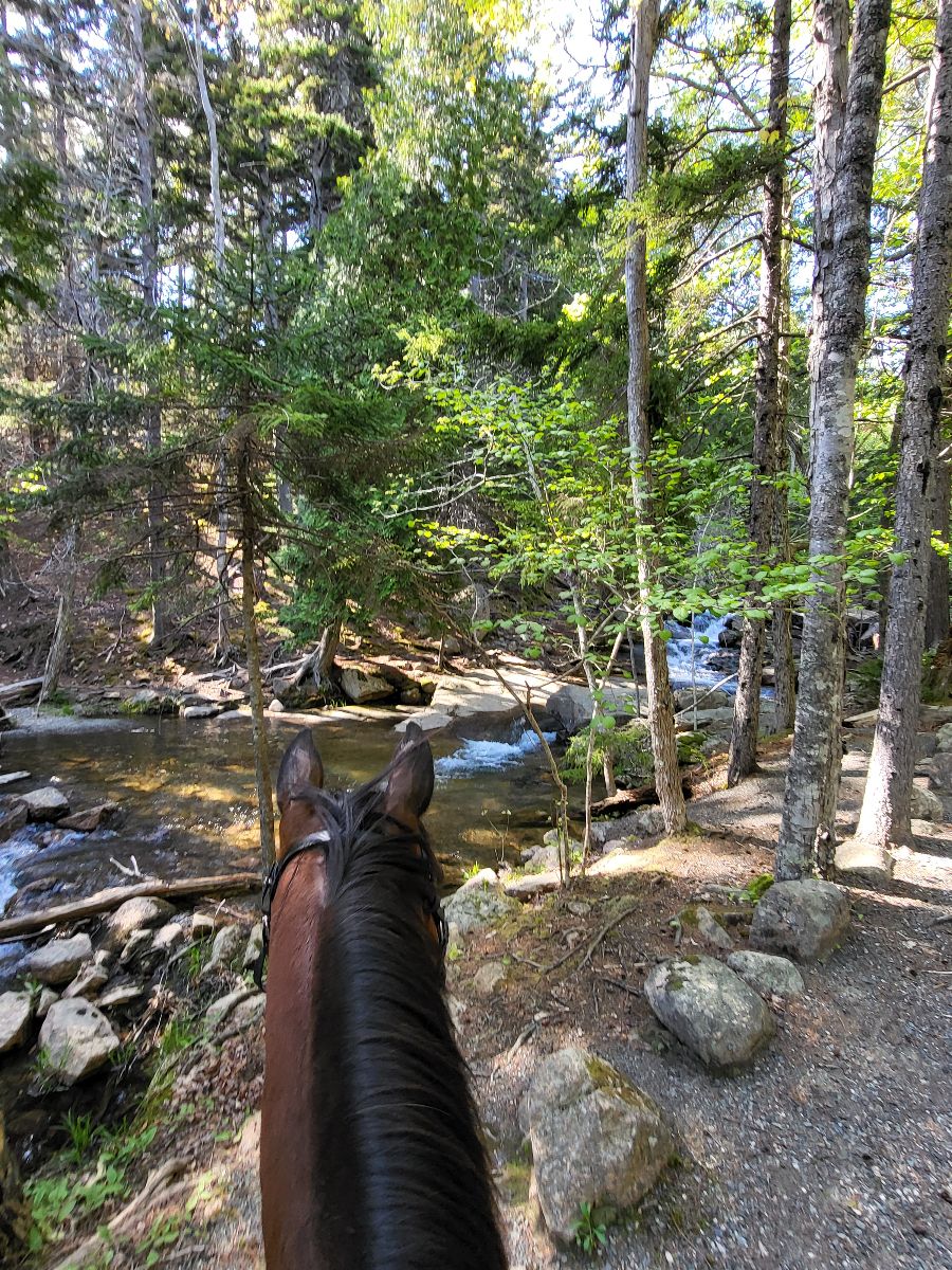
To the waterfall and back

East side of the blue trail with also riding the northern path around the corn field. Easy-moderate trails. Bugs - bring fly masks. Bridges.
Waterfall ride to dry river bed.
Sisters Oregon. Missing the first section from Cow Camp.


Mountain ride to Barkley lake

Mostly flat. Roots. Bobcat Rock area lots of fun.

There is some big hills and lots of rocks
Mixed ground through Arcata Forrest next to HSU. 2 entrances available. Went from diamond drive to creek loop
Faster beginner to slower intermediate ride to cookout location
New trail across clear cut by seed farm connects trails back upJamie & me couple weeks ago then kolu & me finished Saturday. Look for green & pink ribbons. Will need to start clipping black berry vines back so carry clippers.


Tar Bike path with grass path next to it
Start a primitive camp and take Josh, take unmarked right trail before you get to the paved Road. Reached dead end and turned back, next time take a right on the clear trail not a left. Ôøº

Easy to intermediateRoots, hills, and rocks (single riding width)

Follow the Ausable River then loop back to camp
Love this trail. Lots of hills and switchbacks.
Rocky but has good flat spots with canter areas. Some dogs and bikes
Mendon Ponds Park - Short loop.
Hilly; pine trees, some road yravel
West then cross wash and work way to State land , turn before 150 and then weave way back east to Chrissy’s some up and down back

Easy ride- great for speed.

PTRA Parade Prep Route that follows a section of the Rock Isalnd Line Rail Trail, cuts through a hostoric neighborhood and then returns down Historic Route 66

Nice peaceful maintained horse trail
The slope out of David canyon is very rocky, I climbed and led Jack up the steepest parts

Nice easy ride along the river.
Open Trail leads into town
Must be a member of Ride Fauquier
Easy loop out the main way and back on the nice trail.


Gold hill bridle trail
Most beautiful Loop ever. Day Mountain portion gets you the views of the sea. The ride then goes off park for a bit through magical pine and moss covered forests and then back into the park to ride along Jordan Spring. I highly recommend this loop!

Broken Arrow Trail
Easy beautiful trail
Rocky with hills and wet from rain
Flat, wide, muddy. Easy.

Nice, easy trail, with good footing.
Beautiful easy flat trails!
Easy to moderate difficulty.


Loop with friends

Soft footing, great designated trailer parking, narrow single track trails, access to the water in several areas, beautiful forest.
25th trailheads
Crossing the Salt River at Tonto Forest
Mixed, rock, mud, road, wooded trail
Blue to turquoise
Dirt in the woods, crushed stone in the open
All trails in the United States
Ready to explore the best equestrian trails in the United States? Equilab offers thousands of riding routes for scenic strolls, endurance training, and more. Discover verified trail maps to find the perfect path for your next adventure, and then track your ride – all using the world's best horse riding app.
FAQ about Equilab trails
You can explore these trails and many more within the Equilab app! Simply download the app onto your mobile device, create an account, and then head to the “Track” tab. There you can view thousands of trails to discover and ride.
No, Equilab empowers equestrians everywhere to discover and ride trails for free! By creating an account within the app (no payment needed), you will be able to see and ride all public trails. Our Premium subscription offers great additional features, which you can learn more about here.
You can control the visibility of any trails you create using Equilab by selecting different privacy options when saving the trails. If you choose to make a trail "Public", it will be visible here on our website and to anyone using the app. Private trails, on the other hand, are only visible to you and (if you're a Premium user) anyone you share them with. Note: If you rode on private property, we strongly recommend saving your trail as "Private".
Equilab’s list of trails currently only includes those that have been tracked by riders using the Equilab app. As a result, there are still many trails not yet included in our platform. Anyone can track trails and add them for free, however — giving you the chance to help others discover new places to ride!
Yes! You can add a trail from any ride you track using the Equilab app. To so, simply download the app, create an account, then record your ride on the trial.
Note that to create a trail, the ride must be at least 0.6 miles long, have taken at least 5 minutes, and must not have been tracked within an arena.
Our community members have added more than 35,000 public trails, and new ones are added every day. We hope you enjoy exploring them!

Contact our team
Feedback & Help
support@equilabapp.com
Press and Partnerships
marketing@equilabapp.com
Business Inquiries
admin@equilabapp.com


