


All trails in the United States


Ready to explore the best equestrian trails in the United States? Equilab offers thousands of riding routes for scenic strolls, endurance training, and more. Discover verified trail maps to find the perfect path for your next adventure, and then track your ride – all using the world's best horse riding app.
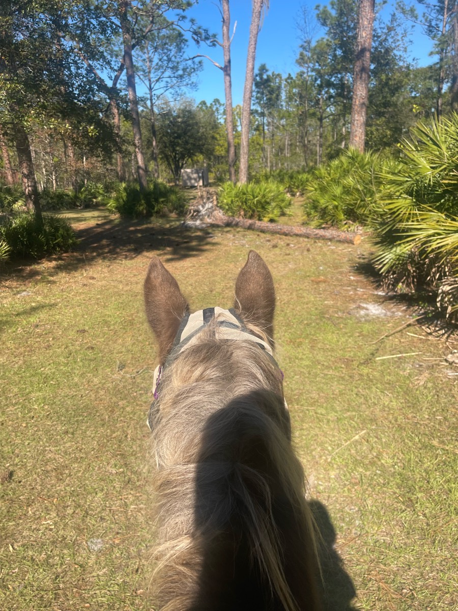
Most popular trails


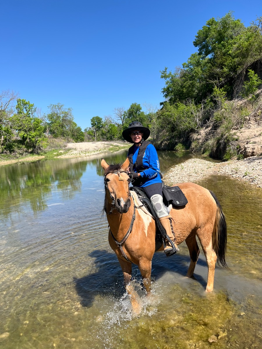
New loop and water crossing

Sandy wooded, lovely

Beautiful trail that passes through big meadows. There is a waterfall directly beside the trail.
Long dirt road/some asphalt/gavel
Fairly rocky. Have a map
In and out of canyons, very up-and-down need shoes
muddy and wet lots of hills
Down to the river, then upper riding, back to the river on another entrance, then back to camp
Dirt / stone pathway
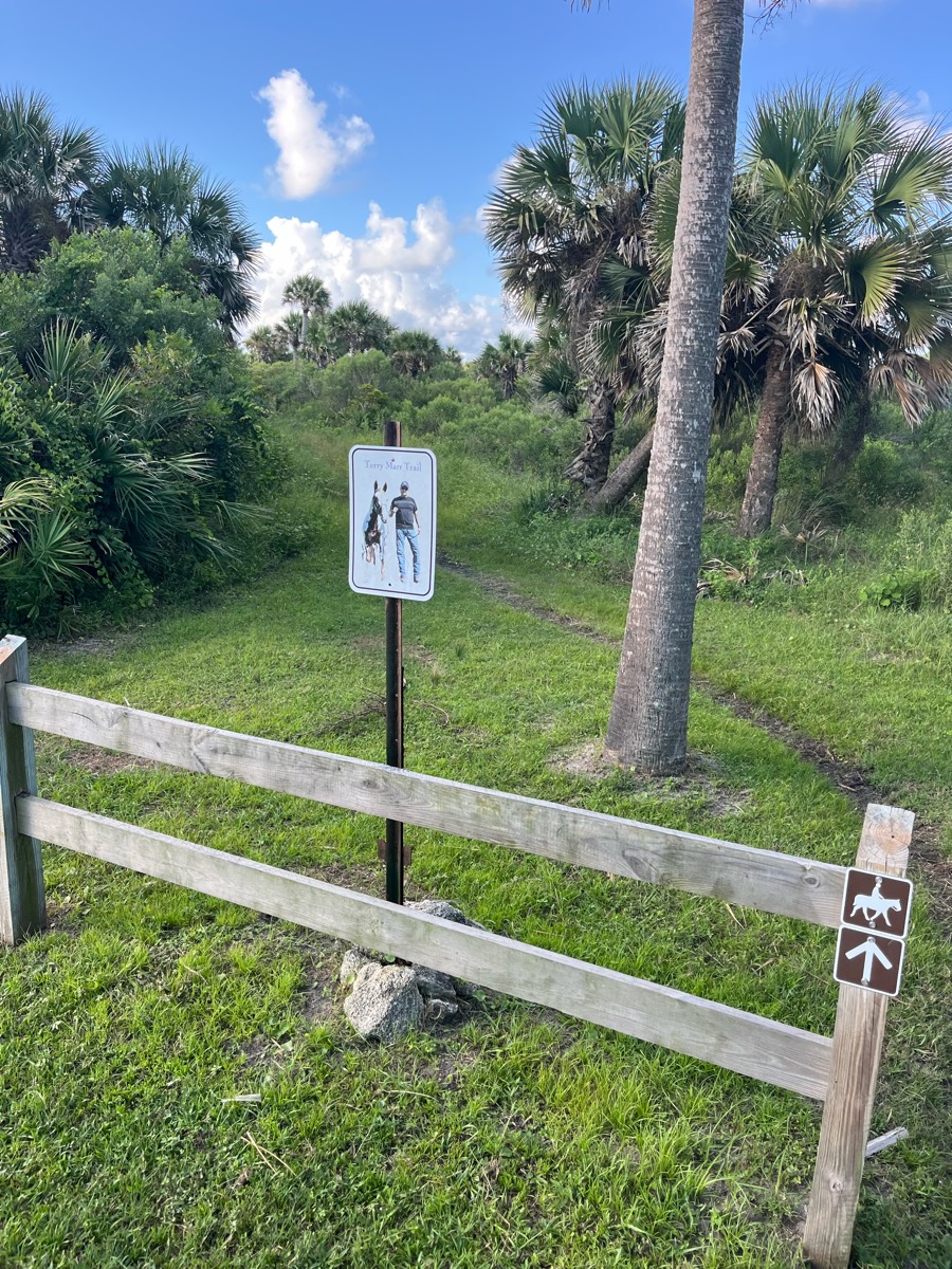
Ride around race stables and to Mason Dixon Line

3rd Loop of Iron Mountain on Friday
Very nice trail. Some small inclines.
Nice wide trails with easy footing
WMF North Country
4 miles ends with creek
Mt Pisgah trail ride around the lower half of the summit

Black trail from far side of camp
State forest to Olsen rd by horse farm to minor rd loop

Great loop for sustained long trots. Not much hill or elevation work though.

So nice a little busy after the bridge it's single wide
Staunton River State Park
Manzanitas trail system
Short sandy trail then on the beach
Few water crossings, nice sandy trails and forest riding.
This ride is only available during Begin Again farms horse rescue fundraisers. 

Mostly flat terrain, few rocks. Muck Creek is very full at this time. It is in the “red” at the ford crossing in 13B closer to Hwy 507 just south of Rice Kandle Rd (the section where is is a gravel road)


Volkswagen plant nature park trail gate 6C

Asphalt road for a mile. Two miles along the river. Hit the rapidan fire road to go thru the mountains back to Graves or left towards fork mountain or Hoover camp.
Cedar brakes, rocky and beautiful

Trail 2 to brown up to El.ers place and back to camp.

Pretty trail good size day ride

A track around a farmers field
Pretty easy trail for a moonlight trailride. Save grounds for walk trot and canter on the dark
Green and orange trails.
Entrance to the Reservoir then Lucky 7 and back
First real ride for H, she knows this one well. Wasn’t difficult until Max spooked and Sonja and I got dumped haha.
Lots of hedge trees with thorns

MCWMA small loop with stop at Wagonshed campsites 1&2 for water

Flat 7 mile loop along bike path
River valley horse camp
Quarter mile to lake point

Nicely groomed trails
Hills and sand

7 miles easy going
Day one at cypress creek, short ride.

Rolling sand hills. Very gorgeous.
Path around lake with some shoots across
Ride to PCH and back home

Start at Legg Park. Cross road to Harris Nature Center. Very nice, quick trail
Snowmobile trail. Some muddy areas. Decent footing though there are some rocky areas. Would recommend boots. Trail head is off of Bisco Road.
Great footing. Water crossings


Teggerdine staging area thru pontiac lake to Indian springs and back

All trails in the United States
Ready to explore the best equestrian trails in the United States? Equilab offers thousands of riding routes for scenic strolls, endurance training, and more. Discover verified trail maps to find the perfect path for your next adventure, and then track your ride – all using the world's best horse riding app.
FAQ about Equilab trails
You can explore these trails and many more within the Equilab app! Simply download the app onto your mobile device, create an account, and then head to the “Track” tab. There you can view thousands of trails to discover and ride.
No, Equilab empowers equestrians everywhere to discover and ride trails for free! By creating an account within the app (no payment needed), you will be able to see and ride all public trails. Our Premium subscription offers great additional features, which you can learn more about here.
You can control the visibility of any trails you create using Equilab by selecting different privacy options when saving the trails. If you choose to make a trail "Public", it will be visible here on our website and to anyone using the app. Private trails, on the other hand, are only visible to you and (if you're a Premium user) anyone you share them with. Note: If you rode on private property, we strongly recommend saving your trail as "Private".
Equilab’s list of trails currently only includes those that have been tracked by riders using the Equilab app. As a result, there are still many trails not yet included in our platform. Anyone can track trails and add them for free, however — giving you the chance to help others discover new places to ride!
Yes! You can add a trail from any ride you track using the Equilab app. To so, simply download the app, create an account, then record your ride on the trial.
Note that to create a trail, the ride must be at least 0.6 miles long, have taken at least 5 minutes, and must not have been tracked within an arena.
Our community members have added more than 35,000 public trails, and new ones are added every day. We hope you enjoy exploring them!

Contact our team
Feedback & Help
support@equilabapp.com
Press and Partnerships
marketing@equilabapp.com
Business Inquiries
admin@equilabapp.com


