


All trails in the United States


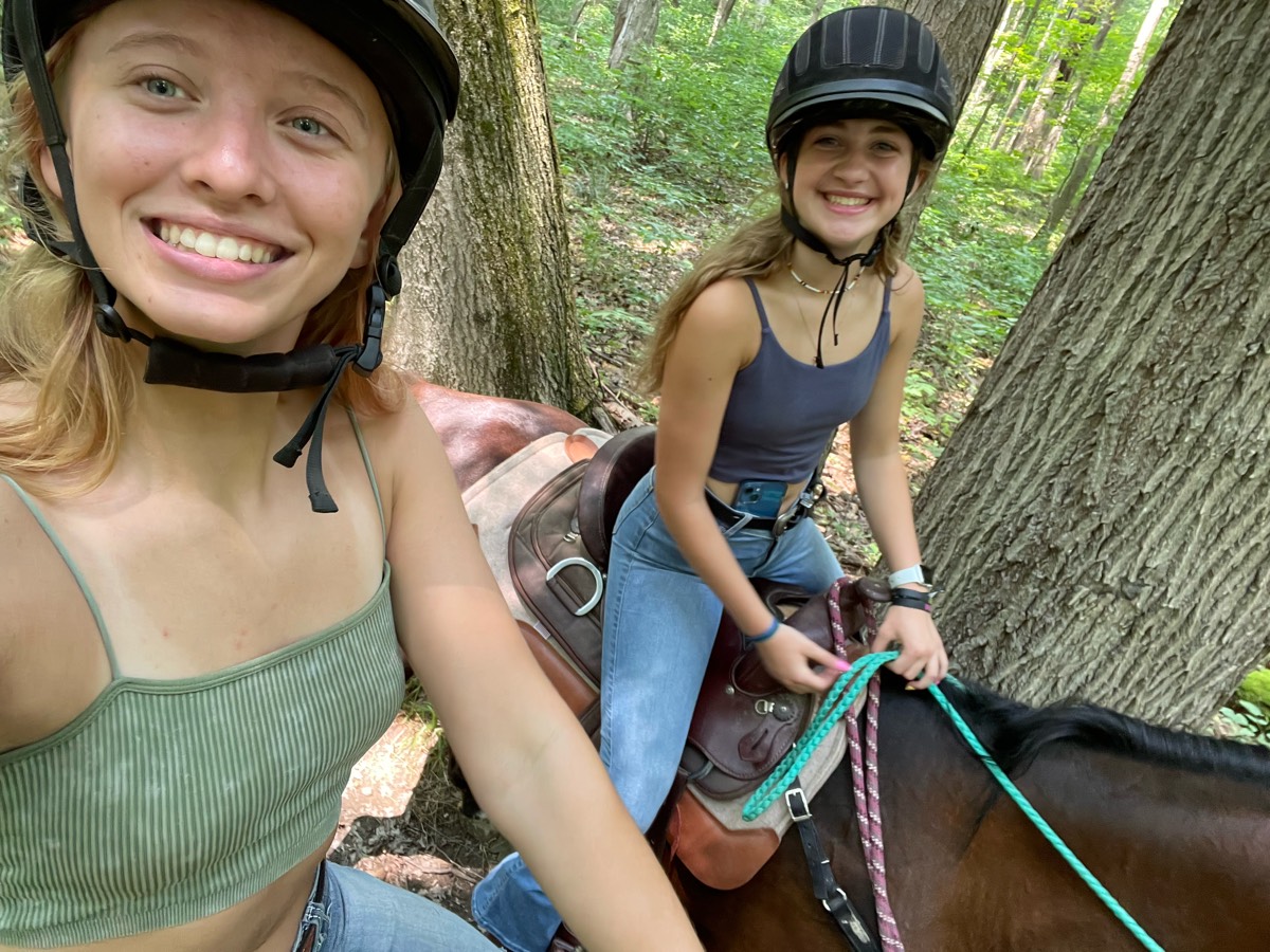
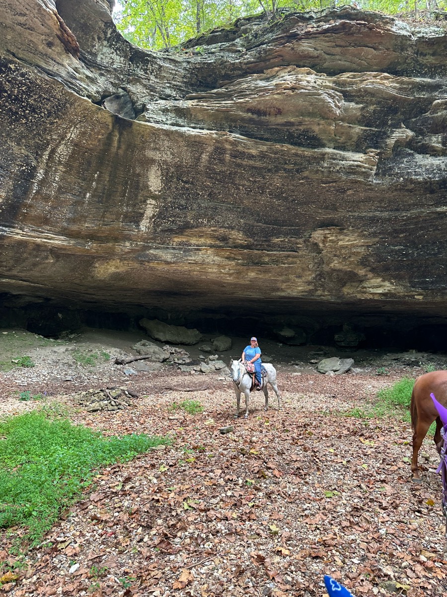
Ready to explore the best equestrian trails in the United States? Equilab offers thousands of riding routes for scenic strolls, endurance training, and more. Discover verified trail maps to find the perfect path for your next adventure, and then track your ride – all using the world's best horse riding app.
Most popular trails


Rocky in a lot of places

Beyond the gate, SW Rim

Standard Conditioning Route with hills
Fun trail that loops back and forth, meeting back up with logging roads.

Hard to easy with water crossings and lots of timber riding.


Lime rock trails, not great

Gravel road beside stream. Easy and pleasant. Lots of history.
Single track nice bridges and water crossings

Fairly wide, rocky, some technical hills. Mostly slight incline.
Whent left and then took the trail to the other horse trial park
Trail to a field that chocolate needs to gallop in or he will lose his mind

Some creek bed, some hunting roads, some hunting plot areas, water available at some areas, a few long steep hills up and down, a couple big trees down to go around or divert direction, two water falls, lots of bluffs, lots of butterflies on the creek bed areas, created 9/5/2024

Small gravel, some shade, some sun, several bridges, one optional water crossing, small hills, a few pretty overlooks and nice picnic spots.

Ride from Grove Creek all the way up to Curley Springs turn off, but make a loop around dry Canyon in front of big Baldy.
Withlacoochi state forest standards
Had to turn around because of downed tree.. moderate rocks and muddy holes
Can be access off the landbridge trail head

3/4 wide trail. 1/4 narrow through woods
Wooded, open, some hills.

Sand trail around pond and up the hill

Great trail the pits are great water holes
Main trail through the park, headed to 662

Beautiful trails through mostly deciduous woods. Some horses will need shoes or boots.
Varried terrain fun ride.

Mostly single track, technical, and hills. Gorgeous views overlooking the canyon.
So fun fell twice
Nice trails. Wide/slightly rocky terrain


It was a level two very calm and un
Woods and fields and cows
Blue creek north 3 miles then back to parking lot and then to dead dog bridge and back.
Long WTC trail, flatish

Rocky, very pretty, if you go up to the falls it gets really rocky.
Through big fields n woods
Elijah Bristow park walk
Went directly towards Tina

Frost pocket to old number 4 to proceeding

Loop around the perimeter. Lots of other tracts available throughout. Mostly barefoot friendly. Some gravel roads.
From Tyler's to the lake and back.
Heading NW From the barn
Little loop with logs and some mud

Easy, some rocky areas
Hauser lake trailhead
Just down Clark road and back to the barn

Very steep up then down. Lots of road riding
Beginning of trail is private land, so start on Eden Highway. Mix of highway, paved, and gravel road.
Full big lyles medow loop
Nice trail nice up-and-down hills
Pavement into rolling dirt roads over hills through wheat fields

Gravel road at the start with a good elevation gain. Rest of the trail is very nice single track with some great boardwalk bridges and spectacular views.

Pine forests and oaks with lowlands and palms

Top of BLM ridge, descend between hills, along fence to north.
All trails in the United States
Ready to explore the best equestrian trails in the United States? Equilab offers thousands of riding routes for scenic strolls, endurance training, and more. Discover verified trail maps to find the perfect path for your next adventure, and then track your ride – all using the world's best horse riding app.
FAQ about Equilab trails
You can explore these trails and many more within the Equilab app! Simply download the app onto your mobile device, create an account, and then head to the “Track” tab. There you can view thousands of trails to discover and ride.
No, Equilab empowers equestrians everywhere to discover and ride trails for free! By creating an account within the app (no payment needed), you will be able to see and ride all public trails. Our Premium subscription offers great additional features, which you can learn more about here.
You can control the visibility of any trails you create using Equilab by selecting different privacy options when saving the trails. If you choose to make a trail "Public", it will be visible here on our website and to anyone using the app. Private trails, on the other hand, are only visible to you and (if you're a Premium user) anyone you share them with. Note: If you rode on private property, we strongly recommend saving your trail as "Private".
Equilab’s list of trails currently only includes those that have been tracked by riders using the Equilab app. As a result, there are still many trails not yet included in our platform. Anyone can track trails and add them for free, however — giving you the chance to help others discover new places to ride!
Yes! You can add a trail from any ride you track using the Equilab app. To so, simply download the app, create an account, then record your ride on the trial.
Note that to create a trail, the ride must be at least 0.6 miles long, have taken at least 5 minutes, and must not have been tracked within an arena.
Our community members have added more than 35,000 public trails, and new ones are added every day. We hope you enjoy exploring them!

Contact our team
Feedback & Help
support@equilabapp.com
Press and Partnerships
marketing@equilabapp.com
Business Inquiries
admin@equilabapp.com


