


All trails in the United States


Ready to explore the best equestrian trails in the United States? Equilab offers thousands of riding routes for scenic strolls, endurance training, and more. Discover verified trail maps to find the perfect path for your next adventure, and then track your ride – all using the world's best horse riding app.
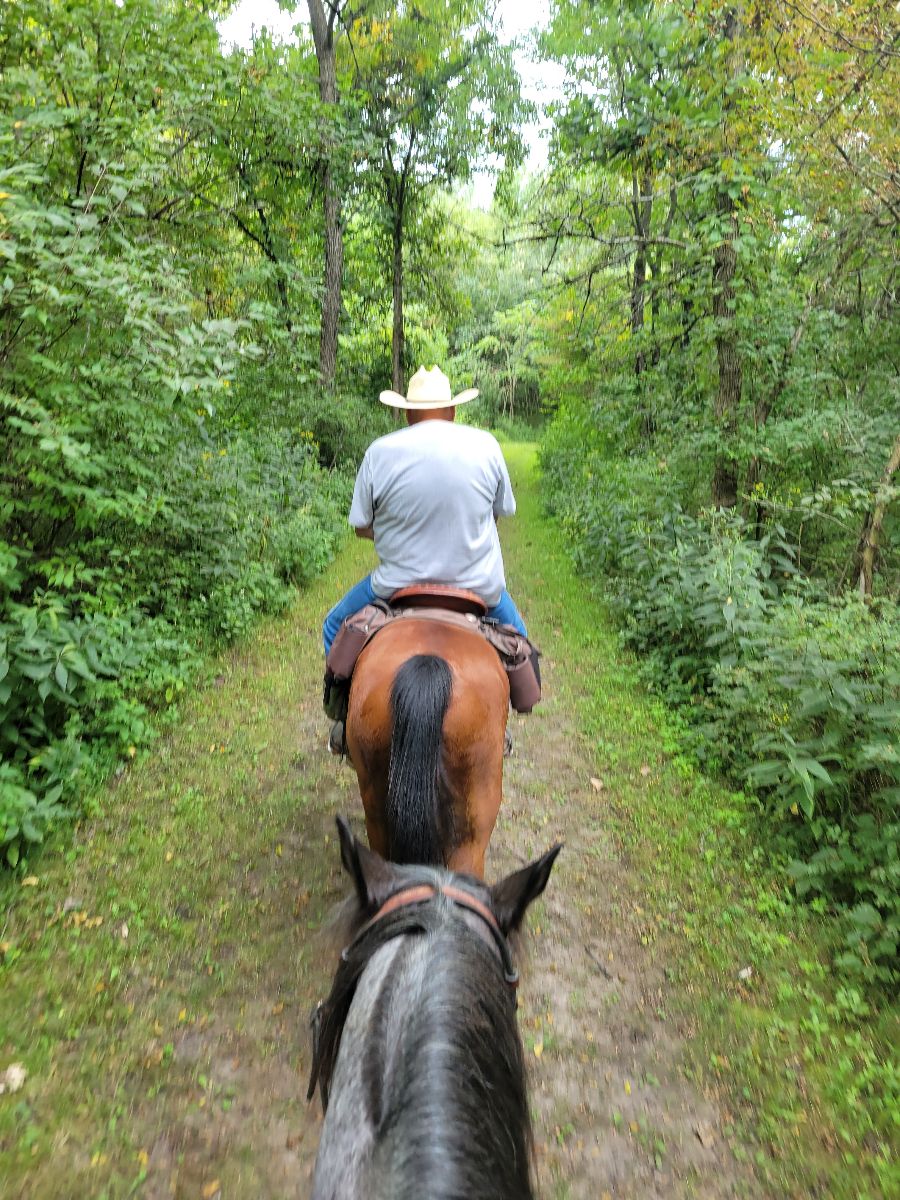
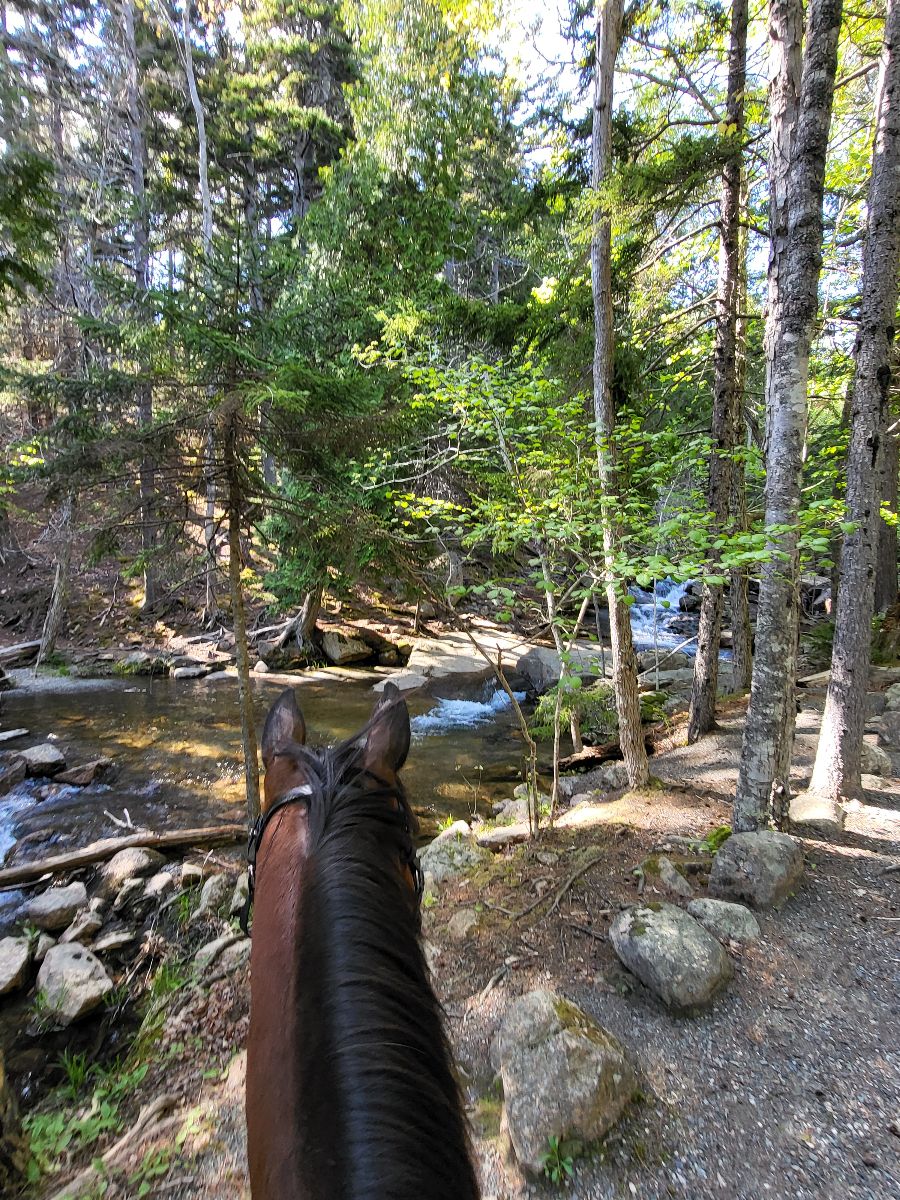
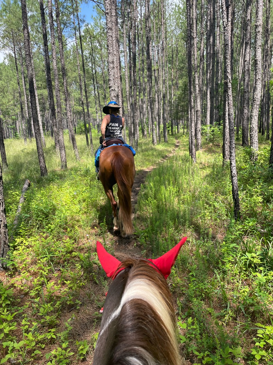
Most popular trails


Rocky with some smooth areas


2.25 hour loop at walk

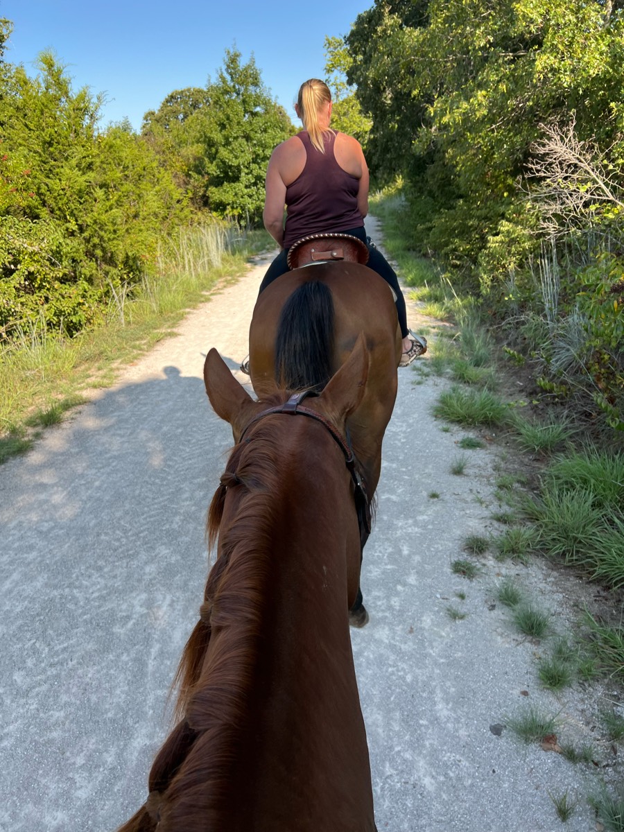
One track and two track front with Rio. Behind Tico. At the very back behind horse and ponied horse. Bastrop TX
Bridle trail at Kiser Lake State Park
Trails around the lake

Go left 3/4 on the rd, then hit the sandy edge of the rd. 1/4 mile. Then, walk down the road right to the trail. Trails are sandy, shared with atv's, bikes, and people. Sage brush and wild juniper trees line the trails. You may see some junk on trails. Gradual sloping trails.
Good training ride
From Coltans to landfill loop

Hot...very little shade
Land elevation mostly sand

Flat 7 mile loop along bike path

Upper and lower trails. Lots of shade.

Beautiful trail that meanders and loops around the preserve

Mostly sand and dirt, but sections of it are a bit rockey.hockey. Obviously the app quit working so it didn't look like I have finished where I started.
Trail loop over various terrainRiver Rise
Goes behind Sweet Sunday and Harwood, down to the river and back to the parking area.

Trail begins at Pine Creek Horse Camp. Trail is moderate in difficulty but there are some great sights along the way. Poor trail markings at places as well.

Start at Legg Park. Cross road to Harris Nature Center. Very nice, quick trail

Trails through the woods


Good endurance trail.
Most beautiful Loop ever. Day Mountain portion gets you the views of the sea. The ride then goes off park for a bit through magical pine and moss covered forests and then back into the park to ride along Jordan Spring. I highly recommend this loop!
Easy on the blue trail but hard work on the orange trail
Nice quiet trail through mostly woods crossed one paved road cooled off in the lake at the end!
Wash from Brewer to Warren

Park at bussey point horse trailer parking
The trail at the Colorado Horse Park. Crosses the road a few times, passes around the Elementary School and a Dog Park.
Good trail in good weather. Heard that in rain/wet weather it is a mess.

Partly Double track trail

Lots of dogs barking, a few horse pastures.
1369 Cedar Springs Rd, Bradley, SC 29189Bathrooms and water for horses. Need bucket and hose.Some riding on side of the road.
Hilly with some rocks.


Ride from Salamonie lost bridge to Salamonie Forest. 8 miles one way on main trails. B there took A back.
Amanada/christmas day
Trinity trail starting at equestrian trailhead
Forbidden Drive and the trail leading to the treehouse, mostly flat with one or two up hills no
Natural surface, windy and hilly in spots

Mostly sand (decomposed granite), some bolder stretches that were a bit technical. Nothing steep, but hilly. Last two miles wide trail following the power line.

San Vincente, Spine, and Farmer's Daughter trails
Flume trail alongside Del dios. Some road crossings
Great for getting horses fit
Ski trails from Kimberly's house

All non-motorized trails, starting in the Tonto National Forest as a single file trail, then crossing into the northern part of the Scottsdale McDowell Sonoran Preserve. We parked at the Ranger station and rode one-way only. The landscape has a natural mild drop this direction.
Long flat straight trail with lots of shade


Straight gravel road with hills
Mendon Ponds Park - Short loop.
Down to the river and back.
Easy with ducks and ponds

Nice trail system. Ungroomed due to all the water. Trails were wet
Out of the barn, down the driveway, follow the path down to the middle cornfield, veer right and follow the hay field to go back to the house in the left-hand pocket
Some wet still nice

Beautiful trail, lots of gravel road riding, multiple stream crossings, one very steep and rocky decline - not beginner friendly.
Lakebay Trails to Moor Meadow
Rocky terrain, shaded

River trail at cris’s

Cabben and trails that you can take your horses to. There's stalls to keep horses in as well.

Love this trail. Has water we can get to
All trails in the United States
Ready to explore the best equestrian trails in the United States? Equilab offers thousands of riding routes for scenic strolls, endurance training, and more. Discover verified trail maps to find the perfect path for your next adventure, and then track your ride – all using the world's best horse riding app.
FAQ about Equilab trails
You can explore these trails and many more within the Equilab app! Simply download the app onto your mobile device, create an account, and then head to the “Track” tab. There you can view thousands of trails to discover and ride.
No, Equilab empowers equestrians everywhere to discover and ride trails for free! By creating an account within the app (no payment needed), you will be able to see and ride all public trails. Our Premium subscription offers great additional features, which you can learn more about here.
You can control the visibility of any trails you create using Equilab by selecting different privacy options when saving the trails. If you choose to make a trail "Public", it will be visible here on our website and to anyone using the app. Private trails, on the other hand, are only visible to you and (if you're a Premium user) anyone you share them with. Note: If you rode on private property, we strongly recommend saving your trail as "Private".
Equilab’s list of trails currently only includes those that have been tracked by riders using the Equilab app. As a result, there are still many trails not yet included in our platform. Anyone can track trails and add them for free, however — giving you the chance to help others discover new places to ride!
Yes! You can add a trail from any ride you track using the Equilab app. To so, simply download the app, create an account, then record your ride on the trial.
Note that to create a trail, the ride must be at least 0.6 miles long, have taken at least 5 minutes, and must not have been tracked within an arena.
Our community members have added more than 35,000 public trails, and new ones are added every day. We hope you enjoy exploring them!

Contact our team
Feedback & Help
support@equilabapp.com
Press and Partnerships
marketing@equilabapp.com
Business Inquiries
admin@equilabapp.com


