


All trails in the United States


Ready to explore the best equestrian trails in the United States? Equilab offers thousands of riding routes for scenic strolls, endurance training, and more. Discover verified trail maps to find the perfect path for your next adventure, and then track your ride – all using the world's best horse riding app.
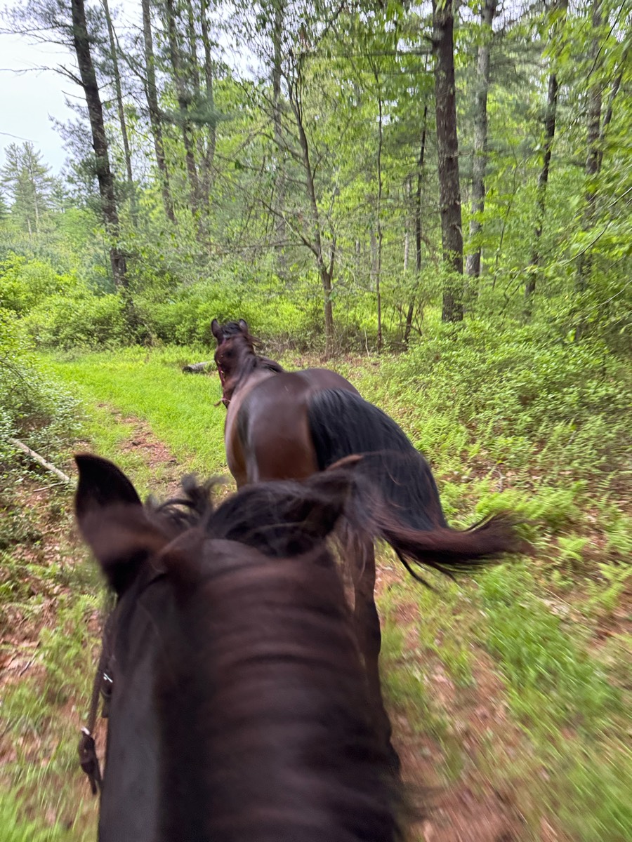
Most popular trails


Did lots of water crossings and switch backs with hills!


Travels through old growth forests and dense under brush.

Up and over to spooky house
Arizona land trust
Forest roads; parking is tight and limited on the side of the road, must turn around to get out , small turn around options

Nice short steep trail

Past the saw mill on the way out, over to Trumps, then through the back Howard’s field.
Church entrance to Allwood entrance
Public park with no pass required

River mill plus cutoff


Abuts road at some points, traffic visible through trees. Crosses edge of Archery range at pond.


Great conditioning trail

Easy. 2 creek crossing, single track & gravel roads
Rocky, but beautiful. Wringer gets tenderfooted but did not refuse. Very behaved


Vineyard Mtn to hole in the bucket

Rocky, beautiful views

Flat with a few elevations, primarily dirt through the woods, with some road. Must cross bridge with cars.

Easy, wide very few steep climbs with a couple water crossings . Went to lake
Rough total of 30 miles of trails available.

Go left 3/4 on the rd, then hit the sandy edge of the rd. 1/4 mile. Then, walk down the road right to the trail. Trails are sandy, shared with atv's, bikes, and people. Sage brush and wild juniper trees line the trails. You may see some junk on trails. Gradual sloping trails.
Mostly sand very open flat trails.
neighborhood rodes
Beautiful desert scenery. Rocky in places.
Piedra to La Senda and arena
In the Ocala National Forest Altoona, FL

Rocky and shaded . Up hill

Started out on red trail to fire road then lost the short red trail and followed Scott Drive back to camp

Moderate, wide , good footing Ko
PTRA Parade Prep Route that follows a section of the Rock Isalnd Line Rail Trail, cuts through a hostoric neighborhood and then returns down Historic Route 66
Easy and sandy

Rocky, narrow, technical. Beautiful views
Very technical. Need a sure footed horse in good shape with a good mind. Hoof protection all around highly recommended. Some barking dogs in a few places, but overall a very nice trail
Behind house
Otter pond 237 entrance
Beautiful trail, some steep inclines, multiple creek crossings
Woods and open lanes, always a good time

Trail from MZ Equestrian through the park and around the lake

Nice trail, flat plus rolling hills. Perfect in fall and spring before bugs!
Easy trail with minimal elevation change

Rocky with some smooth areas
Easy trail, narrow and rocky in some stretches. Would advise shoes. The last stretch is super super dusty, would probably be best to go back to the parking lot from a different trail
The trail is only hard if you take the hard paths but other than that it it an easy trail.

Easy mostly wide trails. Cannot ride horses on the Bear Valley trail on weekends and holidays so plan accordingly
Down to Waterfall hi I
Sandy trail with some climbs. The trail is shared with hikers and (generally polite) bikers.

Morning trail ride

Andrea visit / Tom and Jerry visit
Great trail to leg up your horse.
Roller Coaster and bridges
Over the creek, along juniper
All trails in the United States
Ready to explore the best equestrian trails in the United States? Equilab offers thousands of riding routes for scenic strolls, endurance training, and more. Discover verified trail maps to find the perfect path for your next adventure, and then track your ride – all using the world's best horse riding app.
FAQ about Equilab trails
You can explore these trails and many more within the Equilab app! Simply download the app onto your mobile device, create an account, and then head to the “Track” tab. There you can view thousands of trails to discover and ride.
No, Equilab empowers equestrians everywhere to discover and ride trails for free! By creating an account within the app (no payment needed), you will be able to see and ride all public trails. Our Premium subscription offers great additional features, which you can learn more about here.
You can control the visibility of any trails you create using Equilab by selecting different privacy options when saving the trails. If you choose to make a trail "Public", it will be visible here on our website and to anyone using the app. Private trails, on the other hand, are only visible to you and (if you're a Premium user) anyone you share them with. Note: If you rode on private property, we strongly recommend saving your trail as "Private".
Equilab’s list of trails currently only includes those that have been tracked by riders using the Equilab app. As a result, there are still many trails not yet included in our platform. Anyone can track trails and add them for free, however — giving you the chance to help others discover new places to ride!
Yes! You can add a trail from any ride you track using the Equilab app. To so, simply download the app, create an account, then record your ride on the trial.
Note that to create a trail, the ride must be at least 0.6 miles long, have taken at least 5 minutes, and must not have been tracked within an arena.
Our community members have added more than 35,000 public trails, and new ones are added every day. We hope you enjoy exploring them!

Contact our team
Feedback & Help
support@equilabapp.com
Press and Partnerships
marketing@equilabapp.com
Business Inquiries
admin@equilabapp.com


