


All trails in the United States


Ready to explore the best equestrian trails in the United States? Equilab offers thousands of riding routes for scenic strolls, endurance training, and more. Discover verified trail maps to find the perfect path for your next adventure, and then track your ride – all using the world's best horse riding app.
Most popular trails


Easy and pretty

Hills, sand, pasture
Meandering trail through the cinders
good parking, lots of gravel but mixed with softer ground, one road crossing
Ferguson Steps to Bromfield's Junglebrook Trail


Beautiful shady trail. Some areas are quite stony and there are multiple water crossings.

Single track, sandy, shady

Wide trail past bogs and rims
Rocky Trail to Monument Rock


Alum Creek Lake trail, Maple Glenn
Staged in Leonard. Road block.
Lots of shade, flat trails, a little rooty in some areas, ponds scattered throughout the preserve.May encounter wildlife, including bears. May encounter hikers and possibly bicycles, but no motorized vehicle of any kind permitted.Easy in & out parking. Primitive, no water.
Lots of woods, running trails, lots of open area
Quarter mile to lake point


Land along the Mississippi River in Illinois!
Almost all the trails at the Allen County Horse Trails
South side very up and down, somehow missed the turn off to the Bizz earlier
One of the many possible loops out of the Olmstead Trailhead

With Kevin and Fury, headed out on a quick loop to the picnic benches and came back to meet with Sandy and Christy. Jewel did great and we walked the rest back alone as Kevin wanted to let Fury run. Beautiful day⭐️⭐️⭐️
Riding out of Virginia’s house
Single track jumping up and down rock ledges

Hilly, smooth dirt surface
Shaw Tri Lakes to King Lake. Great for horse training and muscle building.
From Dry creek to 28th St

Combination of multiple trails equaling about 6.5 out and back. Shaped kinda like a lollipop.

Out of the barn, down the driveway, follow the path down to the middle cornfield, veer right and follow the hay field to go back to the house in the left-hand pocket

Tree down had to cut through someone’s property to get to road
Cobb Co site open to public; riding arena, restrooms, large parking area.

Excellent footing, wide enough for horses, many many bugs (rode may 7th 2025)

1 hr from tunnel, soft dirt, dusty narrow but still nice
Pea gravel. Flat. Wide.

Trails through the woods
Easy, beginner friendly
Single track in open and forest
Found trail behind red house, came out picked up trail behind big red’s pasture and came up behind old big house.

No town sinkhole path back

No So to Blevins, around Cat Peak and Blevins loop back

Cross the river twice, mixed footing, road riding at times
Lime rock trails, not great

Busy fast 2 lane highway and paved road into neighborhood with two cul de sacs.

goes through hills and vineyards. lots of places where you must cross the street.

Up & down canyons with steep slope and great views

Nice and scenic ride in stallion springs
Locust to Fig to 33 Canal
Lots of stuff off Gallagher

Easy 2 track trail, light gravel on some roads, several downed trees that have to be skirted.
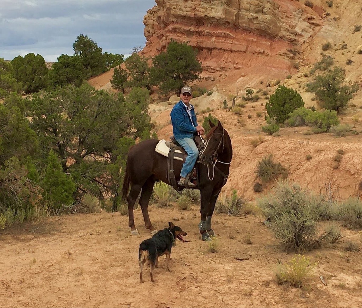
Rocky mostly. Sage brush and pinion pine, Indian paint brush, flowering cactus, rock formations. Some sandy areas. Some defined trails, some off road trails. Shoes required on horses.

Grail across from grail #48 (Aspen Creek Trail)
Lots of areas to ride
Sand pit bridge and CI trail
Easy loop for a walk or faster ride. About half an hour at a walk

Sand and Hills, Ride on the lakeshore
Somewhat rocky with a few steep hills.
Trail ride to the Little Store
Nice trail not super hard.
Training for long distance
Ones at the end of the road on Eden ave Hudson Fl
Residential paths
All trails in the United States
Ready to explore the best equestrian trails in the United States? Equilab offers thousands of riding routes for scenic strolls, endurance training, and more. Discover verified trail maps to find the perfect path for your next adventure, and then track your ride – all using the world's best horse riding app.
FAQ about Equilab trails
You can explore these trails and many more within the Equilab app! Simply download the app onto your mobile device, create an account, and then head to the “Track” tab. There you can view thousands of trails to discover and ride.
No, Equilab empowers equestrians everywhere to discover and ride trails for free! By creating an account within the app (no payment needed), you will be able to see and ride all public trails. Our Premium subscription offers great additional features, which you can learn more about here.
You can control the visibility of any trails you create using Equilab by selecting different privacy options when saving the trails. If you choose to make a trail "Public", it will be visible here on our website and to anyone using the app. Private trails, on the other hand, are only visible to you and (if you're a Premium user) anyone you share them with. Note: If you rode on private property, we strongly recommend saving your trail as "Private".
Equilab’s list of trails currently only includes those that have been tracked by riders using the Equilab app. As a result, there are still many trails not yet included in our platform. Anyone can track trails and add them for free, however — giving you the chance to help others discover new places to ride!
Yes! You can add a trail from any ride you track using the Equilab app. To so, simply download the app, create an account, then record your ride on the trial.
Note that to create a trail, the ride must be at least 0.6 miles long, have taken at least 5 minutes, and must not have been tracked within an arena.
Our community members have added more than 35,000 public trails, and new ones are added every day. We hope you enjoy exploring them!

Contact our team
Feedback & Help
support@equilabapp.com
Press and Partnerships
marketing@equilabapp.com
Business Inquiries
admin@equilabapp.com


