


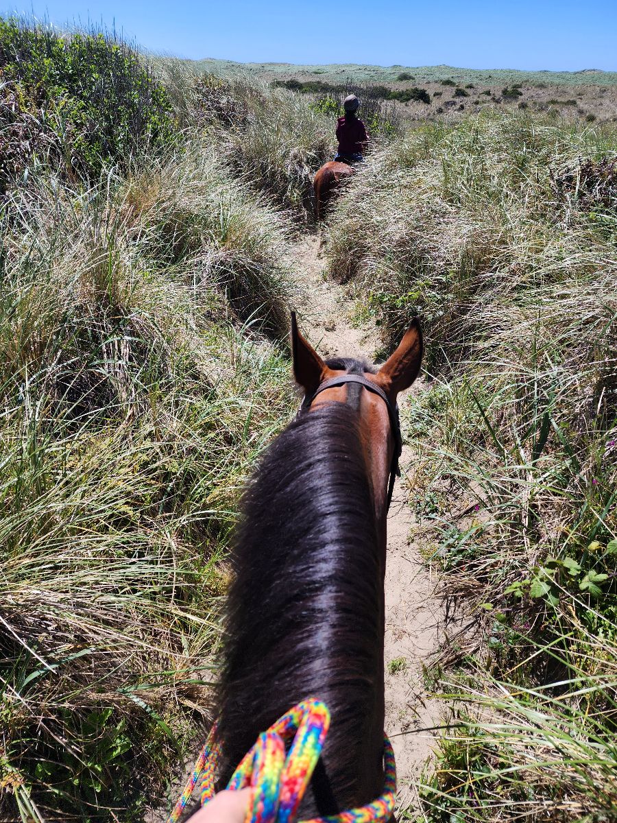
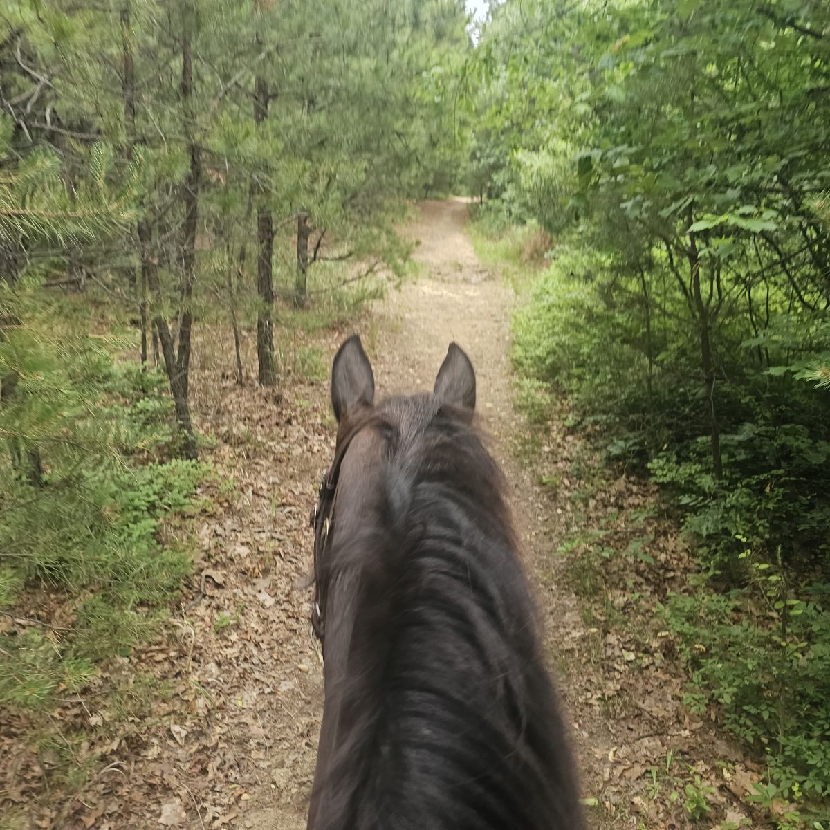
All trails in the United States


Ready to explore the best equestrian trails in the United States? Equilab offers thousands of riding routes for scenic strolls, endurance training, and more. Discover verified trail maps to find the perfect path for your next adventure, and then track your ride – all using the world's best horse riding app.
Most popular trails


Steep challenging terrain


Beautiful trail that meanders and loops around the preserve

West loop only. It does share the trail with the bike trail twice for about 20 feet
Mostly level, some rocky areas.

Outside loop, a little swampy.
Pee wee cut off to park office
Across Rd right at bluff to end - road back to trail 2

Parked at hill canyon, kept right away from water treatment plant
Steep, narrow and rocky
Back in saddle for me n Max.
rocky ups and downs
Wooded trail, wide enough in most parts to ride side by side. Some hills


Easy trail, has lots of soft sand. A bit over grown with only one water crossing.

Easy trail ride
Part of it. Not the whole trail

Good hill. Somewhat technical up top.

Wet and muddy. 2 Big puddles!
Nice beach to ride on. Not to busy and good parking
North Loop New; sometimes hard to follow; trail marked with both tree markers and some areas only with pink/green/orange tape.
Carroll Co park. Variety of trails. Some may be swampy. Horse camping. Restrooms in camping area.
Located in Leburn Kentucky
Chippokes State Park
flat with some hills

Well marked a little wet
To the lookout above the cemetery. Down to Impava and back up the trail.
Elaine's house, over landbridge to 49th Ave and back .


Slick and Rocky at times- muddy in other spots. Some gravel forest service road and some eroded trails. But fun

Beautiful Arena with great footing, barrels, and Cavaletti’s present if you’d like to use them, covered bleachers, restrooms, and plenty of trailer parking along with a few acres of footed trails and around pen.
Fun trail on East McMaster*Note*: This is not the complete trail.
Finn Hall to Sieber Creek & Discovery Trail

Mix of hills, narrow trails and flat riding
From Steeplechase Field - west end river & hill trail, thru golf course, to bald rock meadow and return thru gol course..

Estrella Regional Park - Loved this trail ride from Coldwater Trail to Butterfield to Gadsden Trail to Butterfield to Coldwater. Charlie was the best horse ever.
Easy, rode width, one creek crossing
Around the lake from 726 Furr

Boot loop with Sherwood loop
Deb Alonso and Sue Vaisey
Easy, roots on trail, gravel parking lot
Starts at 2 water tanks at Picacho mountain area.

Easy trail to the fire
Easy park trail around lake Rita Blanca

One track and two track front with Rio. Behind Tico. At the very back behind horse and ponied horse. Bastrop TX
One road crossing, some narrow areas, sometimes water crossing
Really nice trail

Kind of over grown, lots of clearing can be done with hand trimmers couple of trees across the trail that need a small chainsaw to clear them out of the way.
Pretty trail good size day ride
Actual trails were to muddy to ride as 2 weeks non stop rain
Includes a water crossing or 2 depending on weather. Some gravel rock areas hard on tender foots.

Really pretty views and decently easy. Lots of rocks and slopes
VW trail and back and to creek and back
Punkhorn parklands Harwich

An easy trail, with a mix of open fields and woods. There may be hikers and bikes
Sisters Oregon. Missing the first section from Cow Camp.
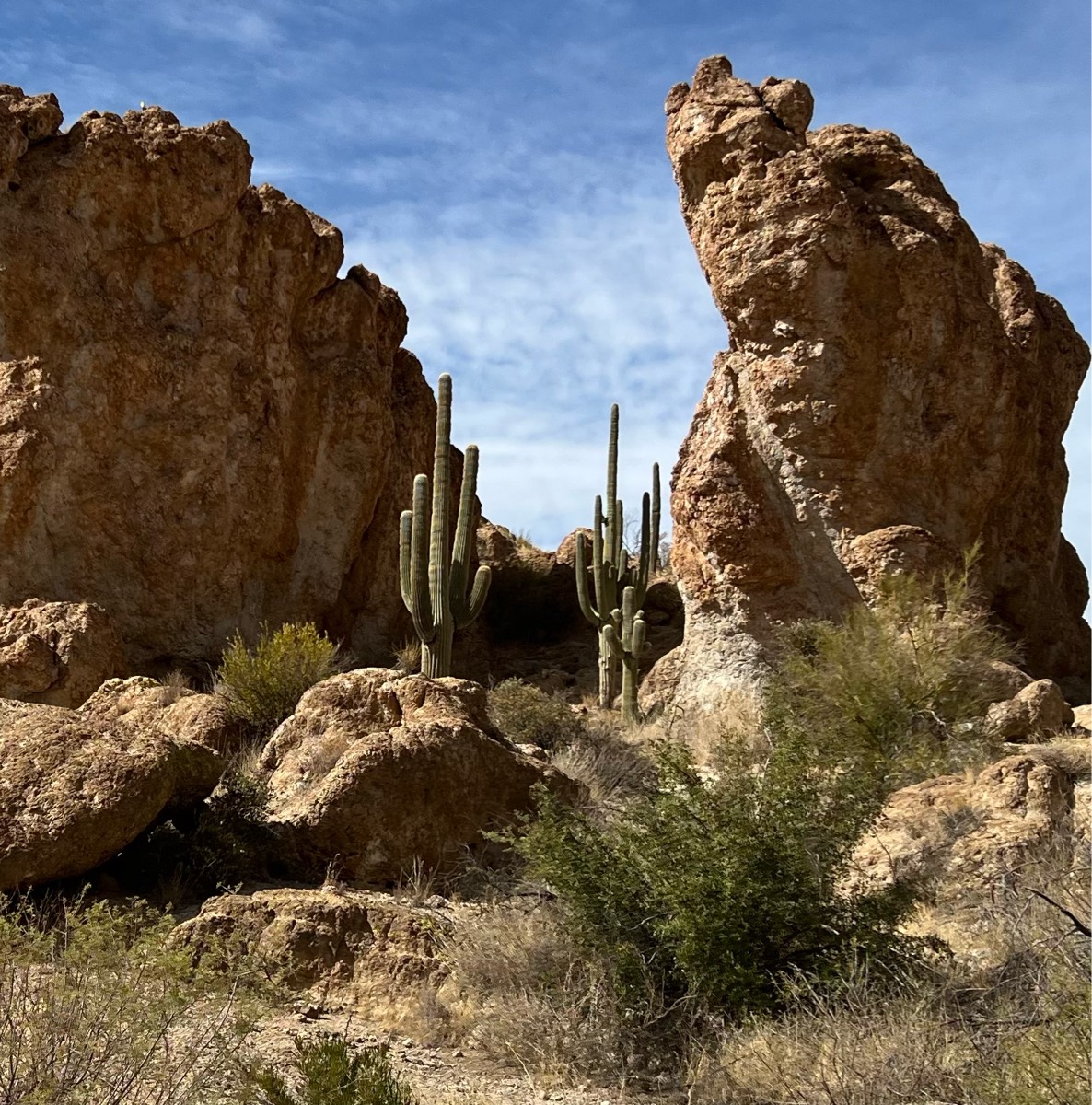
The “never boring” trail! Mostly rocky, some sandy spots. Beautiful views of Picketpost Mountain, some ups and downs in and out of canyons, some water, level depending on recent rains (or not). Including a nice lunch break, it took us almost 4 hours. Plan on 3 riding hours!

All trails in the United States
Ready to explore the best equestrian trails in the United States? Equilab offers thousands of riding routes for scenic strolls, endurance training, and more. Discover verified trail maps to find the perfect path for your next adventure, and then track your ride – all using the world's best horse riding app.
FAQ about Equilab trails
You can explore these trails and many more within the Equilab app! Simply download the app onto your mobile device, create an account, and then head to the “Track” tab. There you can view thousands of trails to discover and ride.
No, Equilab empowers equestrians everywhere to discover and ride trails for free! By creating an account within the app (no payment needed), you will be able to see and ride all public trails. Our Premium subscription offers great additional features, which you can learn more about here.
You can control the visibility of any trails you create using Equilab by selecting different privacy options when saving the trails. If you choose to make a trail "Public", it will be visible here on our website and to anyone using the app. Private trails, on the other hand, are only visible to you and (if you're a Premium user) anyone you share them with. Note: If you rode on private property, we strongly recommend saving your trail as "Private".
Equilab’s list of trails currently only includes those that have been tracked by riders using the Equilab app. As a result, there are still many trails not yet included in our platform. Anyone can track trails and add them for free, however — giving you the chance to help others discover new places to ride!
Yes! You can add a trail from any ride you track using the Equilab app. To so, simply download the app, create an account, then record your ride on the trial.
Note that to create a trail, the ride must be at least 0.6 miles long, have taken at least 5 minutes, and must not have been tracked within an arena.
Our community members have added more than 35,000 public trails, and new ones are added every day. We hope you enjoy exploring them!

Contact our team
Feedback & Help
support@equilabapp.com
Press and Partnerships
marketing@equilabapp.com
Business Inquiries
admin@equilabapp.com


