


All trails in the United States


Ready to explore the best equestrian trails in the United States? Equilab offers thousands of riding routes for scenic strolls, endurance training, and more. Discover verified trail maps to find the perfect path for your next adventure, and then track your ride – all using the world's best horse riding app.
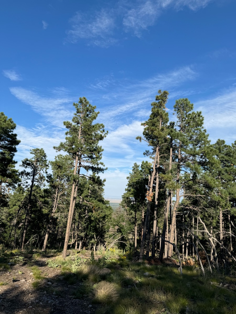
Most popular trails


Easy, roots on trail, gravel parking lot
Sandy and some rocks. Easy trail good parking

Beautiful trails through mostly deciduous woods. Some horses will need shoes or boots.

Pine hollow start. Up the cascade springs and up to primrose (big climb). Down willow hollow to connect to pine hollow again
A good trail to condition your horse

Woods, greenway, hills

The trail loops around sparkleberry lake and is part of the econfina water management system of equestrian trails. It has beautiful views of the lake as you approach. Great ride, but parts are probably not for beginners.
Great for moving out on the power line
Very nice for trot and canter; some gravel

Sandy - wooded - two track - beach
Sandy trail . Wooded. Need to cross a road


Beautiful wooded trails
Straight, flat, grassy, no traffic
9 Mile Loop from day use area


Lots of climbing down and up Barbecue Terrace, and the Secret trail over to Wall Point is single track, but the views before climbing back down toward home is just breathtaking!
Across wind creek rd, walk through creek

Trail around her house
Rough bushwacking trail

Service Road to San Tan to Goldmine
Rocky and on west side of 3rd arroyo
Ride by the Highway into town then along the fence of the elk ranch
Bassett mill to old drew rd
Nice trails but newly uprooted tree blocked the trail.


Peterson Pits East Around 4 miles of trails but easy to add loops. We have run into hunters and off leash dogs. Lots of flat space for long trotting. One optional bridge. It is possible to cross over to the west side and add more miles.

Great wide trails. Shoes needed. All rocks. Super great for large groups and beginners to get comfortable with trails.
Hard surface Marked trails
Wooded and rocky trails with yellow gaits to walk through

Part of blue trail
Rocky and some trees down that horses can maneuver over easily.
Through the field to the pine trail, towards campground and down through turkey trail


20 mile ride. No shoes needed on the horses.
Hills, sandy and some rocky patches

Minimal rock and very flat. Water access in multiple places. Lots of twists and turns for shoulder work and long flat areas with good footing for trotting.

Surface streets to silo trail
Long busy roads and quiet roads

Green lake ride only open to paid members of Waterloo at certain times of the year
Some rocks lots of hills and washes

Fun Sandy Hilly


Great beginner and within timeline.
Abandoned road plus roadside

Beautiful trail 4.7 miles
Elevation gain narrow path

Hilly, big rock scenery, great footing. Rocco led at great pace‼️

Starts at Rosie's trail, around Linda's up to Hunters ridge and back behind Tammy's and Marks.


Moderate to difficult
lots of water crossing


Top of BLM ridge, descend between hills, along fence to north.

Begins at Artillery Ridge Campground (Horse Trailer Parking for campers only) Connector Trail Only - Dead Ends at ARCPublic parking at McMillan WoodsIncludes seasonal closure section - This part of the trail is closed to horses on weekdays only:April, May and October.
All trails in the United States
Ready to explore the best equestrian trails in the United States? Equilab offers thousands of riding routes for scenic strolls, endurance training, and more. Discover verified trail maps to find the perfect path for your next adventure, and then track your ride – all using the world's best horse riding app.
FAQ about Equilab trails
You can explore these trails and many more within the Equilab app! Simply download the app onto your mobile device, create an account, and then head to the “Track” tab. There you can view thousands of trails to discover and ride.
No, Equilab empowers equestrians everywhere to discover and ride trails for free! By creating an account within the app (no payment needed), you will be able to see and ride all public trails. Our Premium subscription offers great additional features, which you can learn more about here.
You can control the visibility of any trails you create using Equilab by selecting different privacy options when saving the trails. If you choose to make a trail "Public", it will be visible here on our website and to anyone using the app. Private trails, on the other hand, are only visible to you and (if you're a Premium user) anyone you share them with. Note: If you rode on private property, we strongly recommend saving your trail as "Private".
Equilab’s list of trails currently only includes those that have been tracked by riders using the Equilab app. As a result, there are still many trails not yet included in our platform. Anyone can track trails and add them for free, however — giving you the chance to help others discover new places to ride!
Yes! You can add a trail from any ride you track using the Equilab app. To so, simply download the app, create an account, then record your ride on the trial.
Note that to create a trail, the ride must be at least 0.6 miles long, have taken at least 5 minutes, and must not have been tracked within an arena.
Our community members have added more than 35,000 public trails, and new ones are added every day. We hope you enjoy exploring them!

Contact our team
Feedback & Help
support@equilabapp.com
Press and Partnerships
marketing@equilabapp.com
Business Inquiries
admin@equilabapp.com


