


All trails in the United States


Ready to explore the best equestrian trails in the United States? Equilab offers thousands of riding routes for scenic strolls, endurance training, and more. Discover verified trail maps to find the perfect path for your next adventure, and then track your ride – all using the world's best horse riding app.
Most popular trails


Some elevation on this trail.
Homebound-Cow Trail-Fletcher loop
One section of trails

Nice trail. Could be bad if lots of rain.

Mud Pond Road to Courtney‘s Crossing to graveyard Trail all the way up to Ivy Road then back down the main trail to mud Pond back to the farm 
North from parking lot. Through the woods and along the lake
Mixed forest and prairie. Some obstacles available

Single track, hills, some rocks
Off shoot to waterfall.
Blue, purple, yellow, orange, and green.
Good trails, some mud and hills,
Loop north of twin orchards farm. Muddy trails after rain with some big puddles.
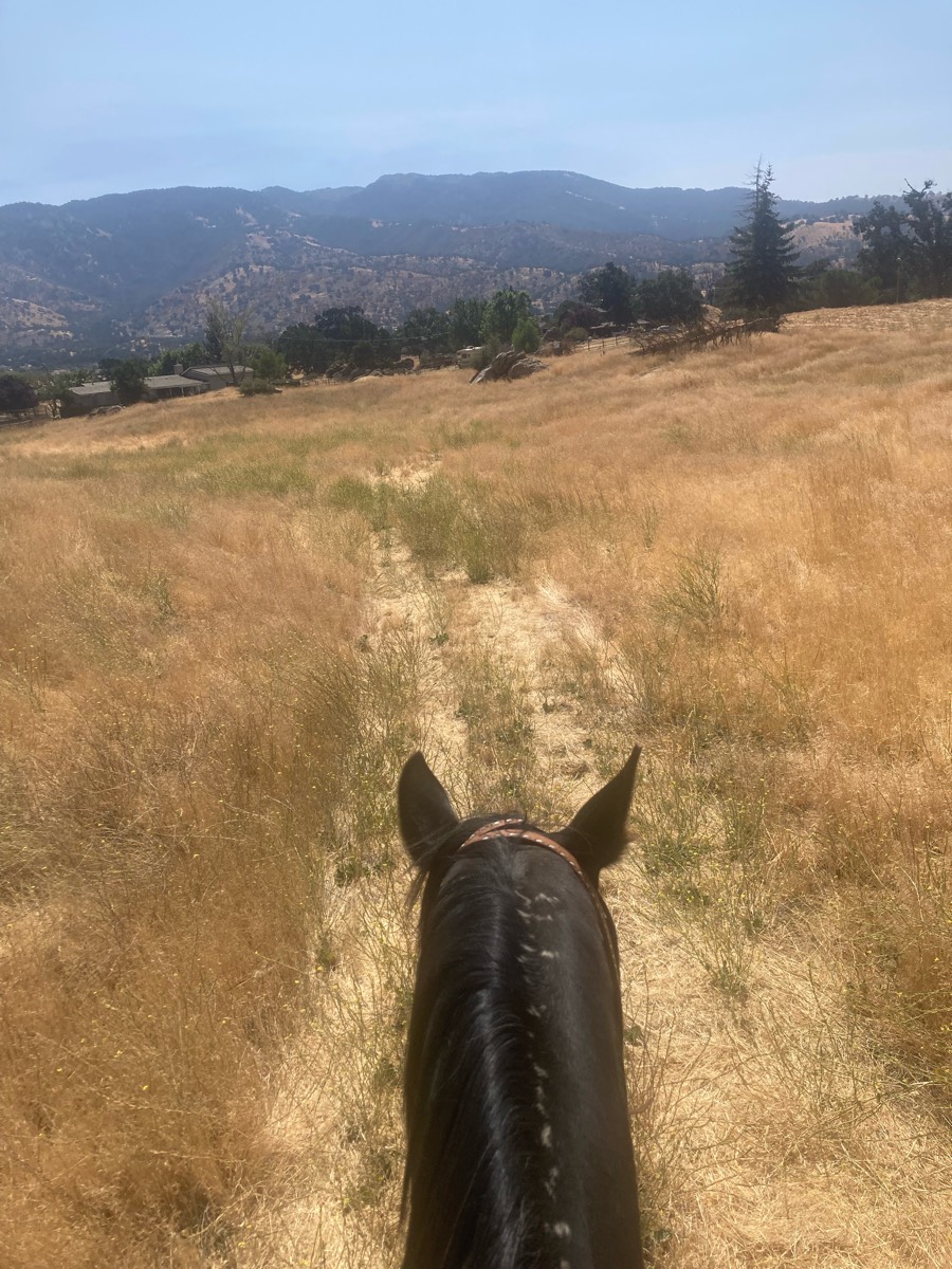
Flat pretty easy track
Turned around at road to FR

Most beautiful Loop ever. Day Mountain portion gets you the views of the sea. The ride then goes off park for a bit through magical pine and moss covered forests and then back into the park to ride along Jordan Spring. I highly recommend this loop!

Beautiful Old Florida, with a mix of hammocks, uplands, and wetlands
Washed out rough terrain
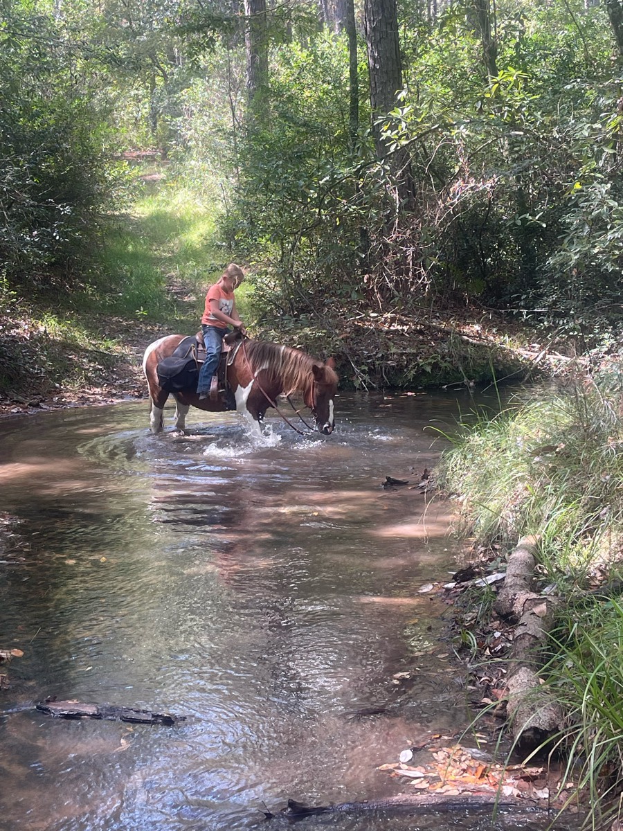
Lots of water crossings. Narrow. Next to lake

Parts easy parts very rocky with steep hills. Very mixed

Having an awesome time riding my horse down Raven Hill Road

Wide for carriage access, fields
There was some areas of standing water. New trail was beautiful came out on sand trail then back on spur.
Some gravel, some fire road, but in woods is nice


Left out of snowberry parking lot
Marked with blue and white circles. Some red circles too.
Beyond the gate, SW Rim
Meadow trail to duck pond from arena parking

Paved and gravel wide paths

Easier Multi Use Trail
Hilly but nice and wide
Loop around the outside of the park
Poorly marked so we made some of our own way
VERY rocky, narrow, overgrown. Difficulty rating is like 8/10 to me.

Technical trail that does require climbing rocks and steering around trail obstacles. Horse should be fit. It took us over 6 hours.
Straight up and then straight down
Long flats. Steep climbs. Narrow single track Steep downhills
The back way to initial tree Ôøº

Moderate rocky. Lake.

Nice covered trail in Pine forest.


Trail goes to visitor center and then lake (trail that checkers spooked on before road crossing)
Blue to turquoise

A lot of up and down. Roughed
Mixed footing, not very hilly, rocky, all shaded and wooded. (Trail is longer then showed on map, turned around halfway)
Long line section is very steep


Up switchbacks, to Everest, down to river.
Rocky uneven moderately sloped
Some road some deep gullies good ride
Beach lighthouse bay loop
Trees some rock some good footing
Old refurbished train bed
Percy Warner Park Equestrian Trail
Louise and Wyatt, mounting chaos!

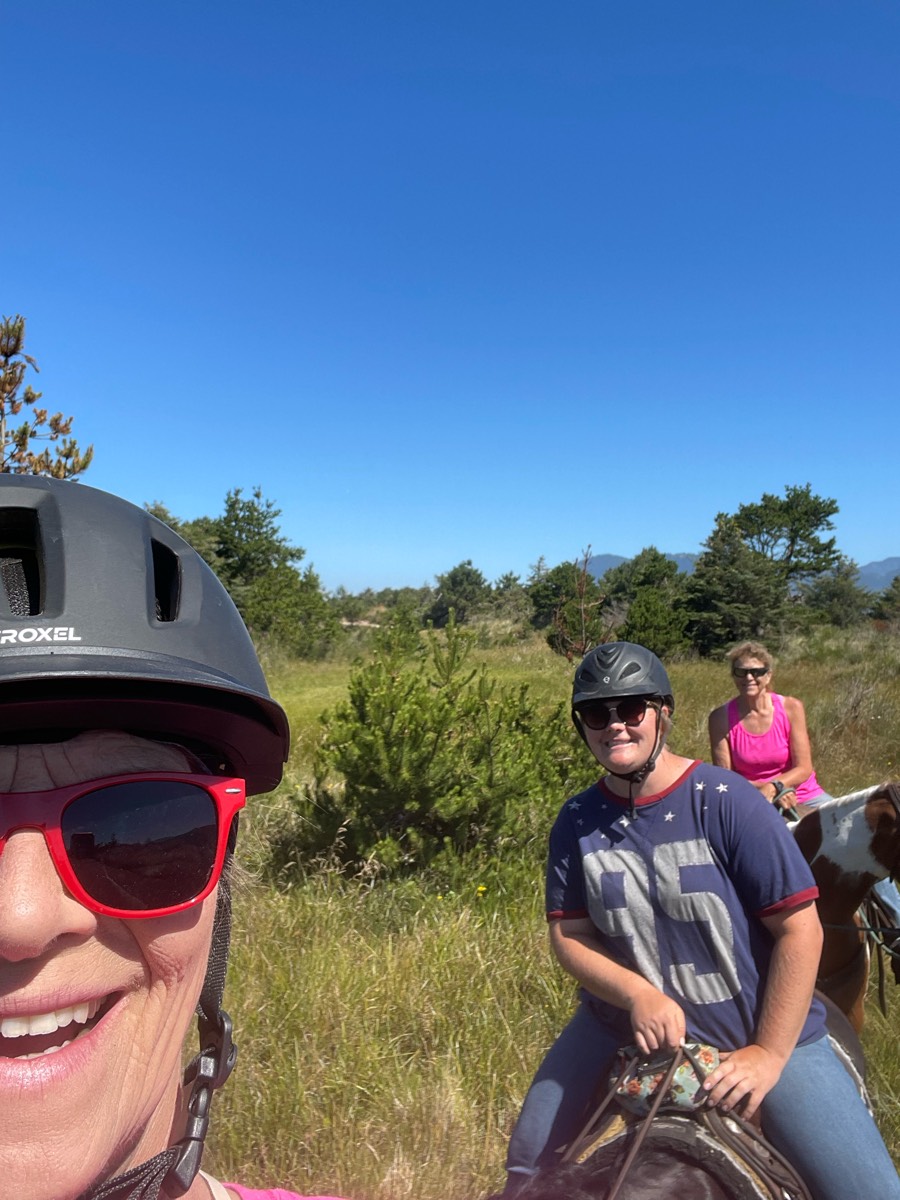
Fall 24 Hunter pace
Mostly flat, open. Easy trail. Trees and strip mines

All trails in the United States
Ready to explore the best equestrian trails in the United States? Equilab offers thousands of riding routes for scenic strolls, endurance training, and more. Discover verified trail maps to find the perfect path for your next adventure, and then track your ride – all using the world's best horse riding app.
FAQ about Equilab trails
You can explore these trails and many more within the Equilab app! Simply download the app onto your mobile device, create an account, and then head to the “Track” tab. There you can view thousands of trails to discover and ride.
No, Equilab empowers equestrians everywhere to discover and ride trails for free! By creating an account within the app (no payment needed), you will be able to see and ride all public trails. Our Premium subscription offers great additional features, which you can learn more about here.
You can control the visibility of any trails you create using Equilab by selecting different privacy options when saving the trails. If you choose to make a trail "Public", it will be visible here on our website and to anyone using the app. Private trails, on the other hand, are only visible to you and (if you're a Premium user) anyone you share them with. Note: If you rode on private property, we strongly recommend saving your trail as "Private".
Equilab’s list of trails currently only includes those that have been tracked by riders using the Equilab app. As a result, there are still many trails not yet included in our platform. Anyone can track trails and add them for free, however — giving you the chance to help others discover new places to ride!
Yes! You can add a trail from any ride you track using the Equilab app. To so, simply download the app, create an account, then record your ride on the trial.
Note that to create a trail, the ride must be at least 0.6 miles long, have taken at least 5 minutes, and must not have been tracked within an arena.
Our community members have added more than 35,000 public trails, and new ones are added every day. We hope you enjoy exploring them!

Contact our team
Feedback & Help
support@equilabapp.com
Press and Partnerships
marketing@equilabapp.com
Business Inquiries
admin@equilabapp.com


