


All trails in the United States


Ready to explore the best equestrian trails in the United States? Equilab offers thousands of riding routes for scenic strolls, endurance training, and more. Discover verified trail maps to find the perfect path for your next adventure, and then track your ride – all using the world's best horse riding app.
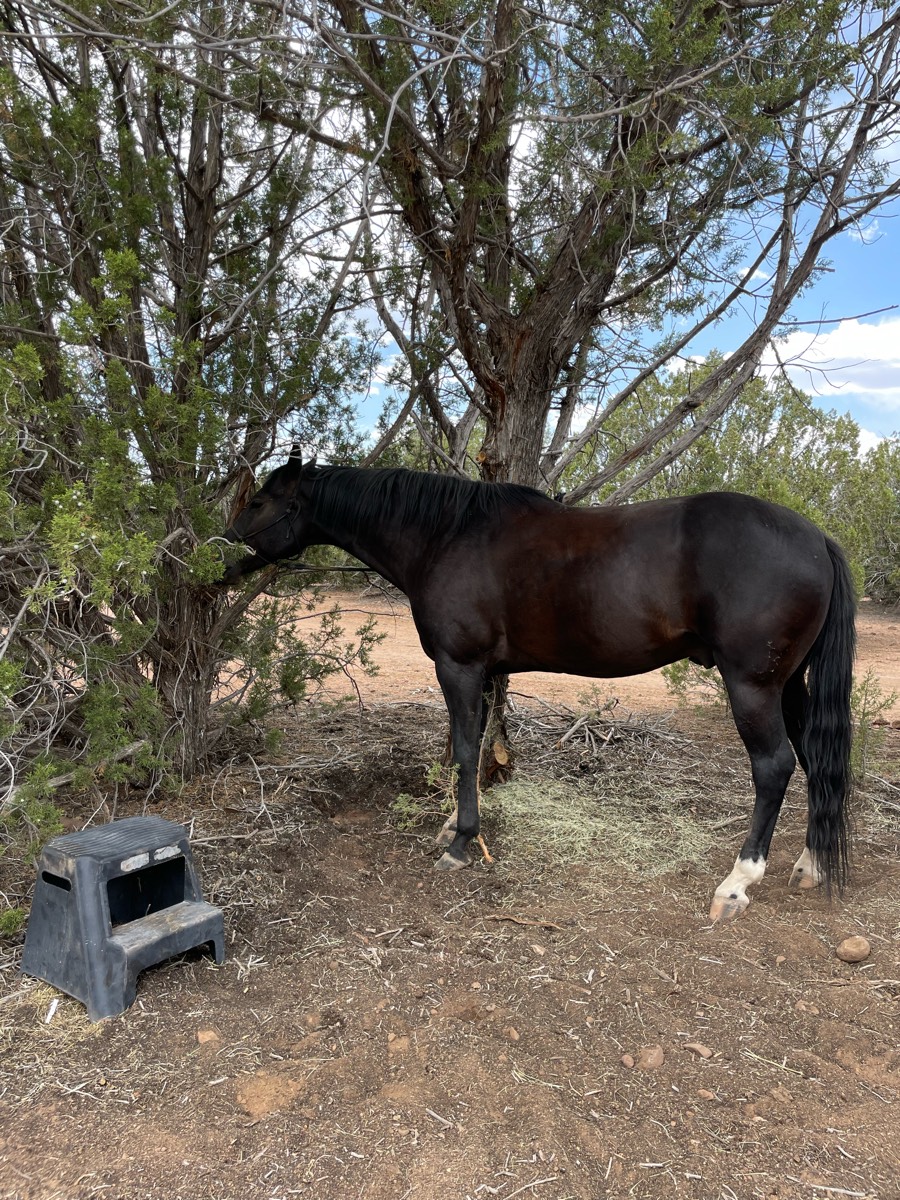
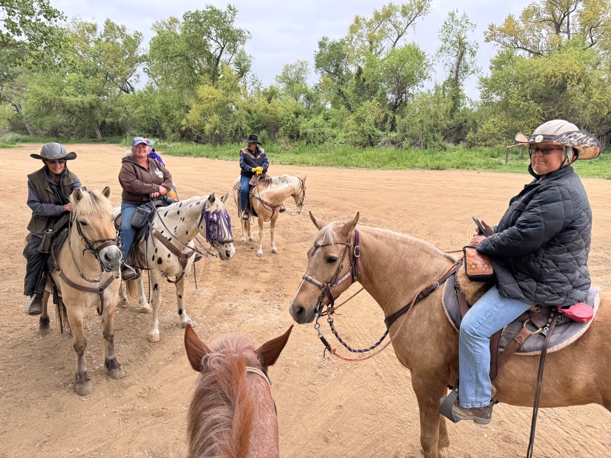
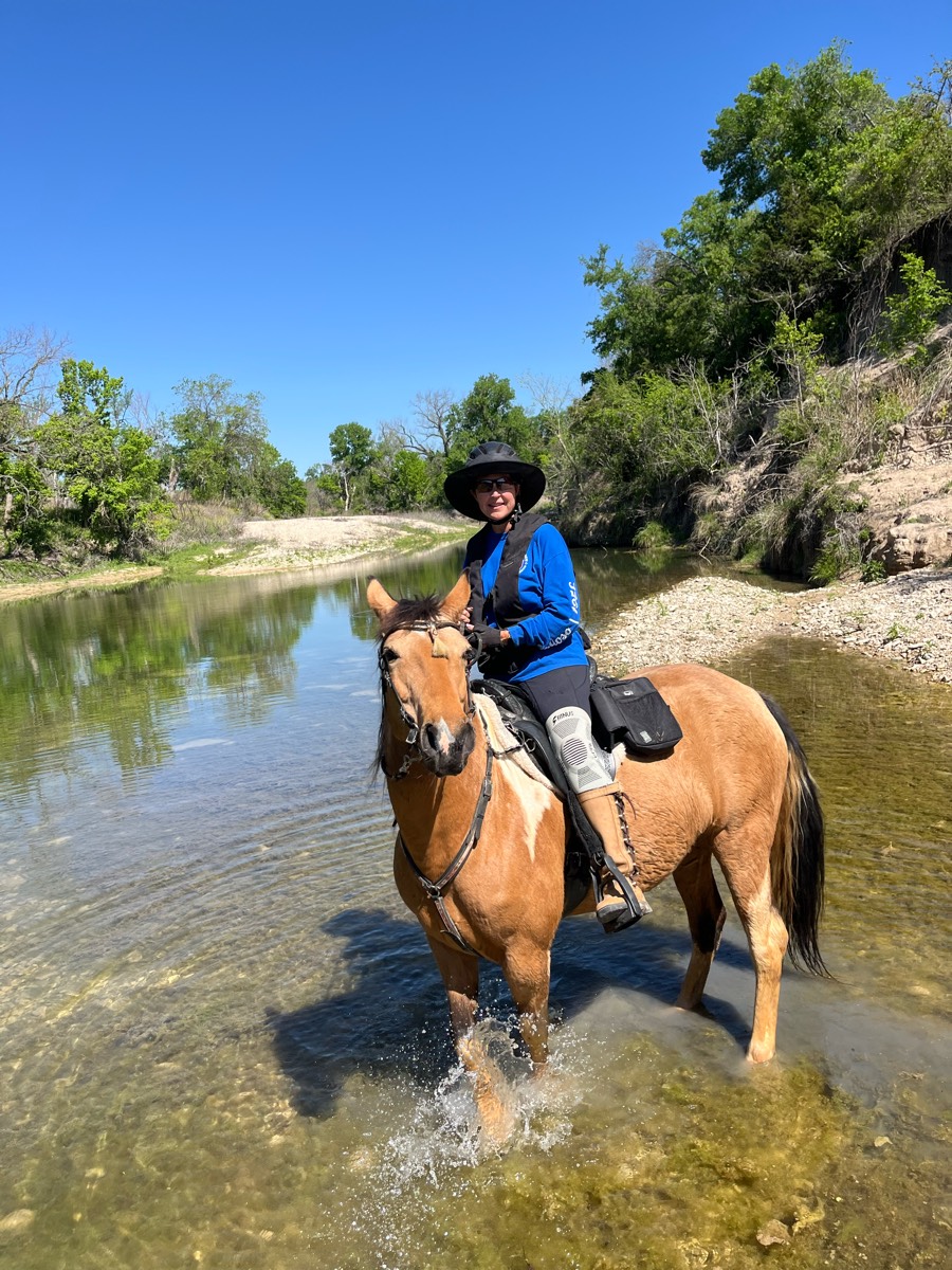
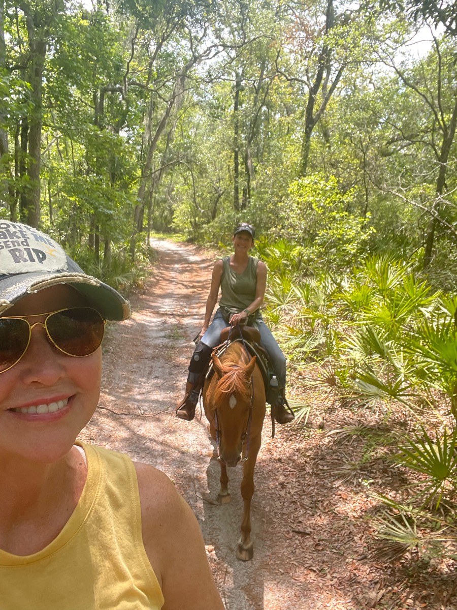
Most popular trails


Pasture with some rock

Two loops equaling approximately 9 miles. Some flat, some hills. Nice relaxing ride through the woods.
Riding the trails any the Allen County Equestrian Course

Cooper Lake South Sulpher unit
Robbers cave not as rocky of a trail

Pine hollow start. Up the cascade springs and up to primrose (big climb). Down willow hollow to connect to pine hollow again
Rolling hillsides
Just an old dirt road
Under the bridge, off property. Lots of overgrown grass and not super pleasant path way. Mud, dirt and gravel road. You will pass an RC race track which can be very load so make sure you trust your pony.
Few water crossings, nice sandy trails and forest riding.

yellow, white, blue yellow

Shared user trail, shared small parking lot, follows the Arkansas river with the tourist train occasionally passing. Start off on cement and turns into a gravel path, 3 tunnels. Out and back


Ride out on Donna’s, keep heading uphill towards Butterfly. Once at the clear cut, head downhill towards Freemont’s Favorite; which is the right turn at the junction. On this track, I went straight on the logging road. Head downhill to Fern Gulley, and take Camp 3 back to Donna’s

Some wet but beautiful creek views
Wooded and opened
1st time riding at wood stock equestrian

Over the dunes to along the Lake Michigan shore.

Long leaf pine to Fox squirrel to Longleaf pine to RWC and return via Longleaf Pine. Smooth, sandy trails most horses will be fine barefoot. Shared you, Trails you will probably encounter hikers and cyclist, but for the most part some of the most polite users are at this park
Easy dirt trail + asphalt road.
wooden and water

Mix of road, trails, steep hills and lots of rocks
North Appleton Lot
Sandy rd to wash to open desert
Not marked for trail riding at all. We rode on hunting trails and around fields
Strawberry Fields Tanner loop
Easy barefoot/firm footing.

Fairly rocky. Have a map

Skipped the dangerous mud holes by staying on the road a spell. Great ride with varied terrain


Go down road and take right to first set of corrals. Trail is riding left up road then I think right onto a trail. When get to a Y go straight to get to river. We did not go straight so map will not match from that point. Encountered a group of cyclists on way back but calm most.

Over the bridge and back

Takes you to the lake


A forest trail, 7 miles in total length. Fairly large parking lot, which can comfortably fit multiple large trailers, but it isn’t marked specifically for trailers. Multiple hills, a few fairly steep. Some portions can be soggy depending on rainfall. Shared with bikers and hikers
Easy. Shady and Sandy. Some water to cross

Shorter loop has other options to connect to, some of which are often underwater or covered by too much brush
Yellow snake camp ground, Moshannon state forest
Ranch to hot super
Teggerdine staging area thru pontiac lake to Indian springs and back


Beautiful, rocky and challenging in areas. This is not a beginner horse/ rider trail. The scenery is breathtaking. A good trail to bring a lunch, snacks and plenty of water for yourself if the weather is hot. There are some shallow stream crossings for horses to drink.
So fun fell twice

Mostly flat. Beautiful

Trail around her house

Part busy highway, part smooth gravel lane with a very few trottable margins.
All trails in the United States
Ready to explore the best equestrian trails in the United States? Equilab offers thousands of riding routes for scenic strolls, endurance training, and more. Discover verified trail maps to find the perfect path for your next adventure, and then track your ride – all using the world's best horse riding app.
FAQ about Equilab trails
You can explore these trails and many more within the Equilab app! Simply download the app onto your mobile device, create an account, and then head to the “Track” tab. There you can view thousands of trails to discover and ride.
No, Equilab empowers equestrians everywhere to discover and ride trails for free! By creating an account within the app (no payment needed), you will be able to see and ride all public trails. Our Premium subscription offers great additional features, which you can learn more about here.
You can control the visibility of any trails you create using Equilab by selecting different privacy options when saving the trails. If you choose to make a trail "Public", it will be visible here on our website and to anyone using the app. Private trails, on the other hand, are only visible to you and (if you're a Premium user) anyone you share them with. Note: If you rode on private property, we strongly recommend saving your trail as "Private".
Equilab’s list of trails currently only includes those that have been tracked by riders using the Equilab app. As a result, there are still many trails not yet included in our platform. Anyone can track trails and add them for free, however — giving you the chance to help others discover new places to ride!
Yes! You can add a trail from any ride you track using the Equilab app. To so, simply download the app, create an account, then record your ride on the trial.
Note that to create a trail, the ride must be at least 0.6 miles long, have taken at least 5 minutes, and must not have been tracked within an arena.
Our community members have added more than 35,000 public trails, and new ones are added every day. We hope you enjoy exploring them!

Contact our team
Feedback & Help
support@equilabapp.com
Press and Partnerships
marketing@equilabapp.com
Business Inquiries
admin@equilabapp.com


