


All trails in the United States


Ready to explore the best equestrian trails in the United States? Equilab offers thousands of riding routes for scenic strolls, endurance training, and more. Discover verified trail maps to find the perfect path for your next adventure, and then track your ride – all using the world's best horse riding app.
Most popular trails


Easy takes about a hour and a half to get back to the barn

Wooded trail, some rocks, some climbs, short stretch along the road from the overflow camp to 4B return
Mostly wooded, you have to cross one hard surface two mo lane Road
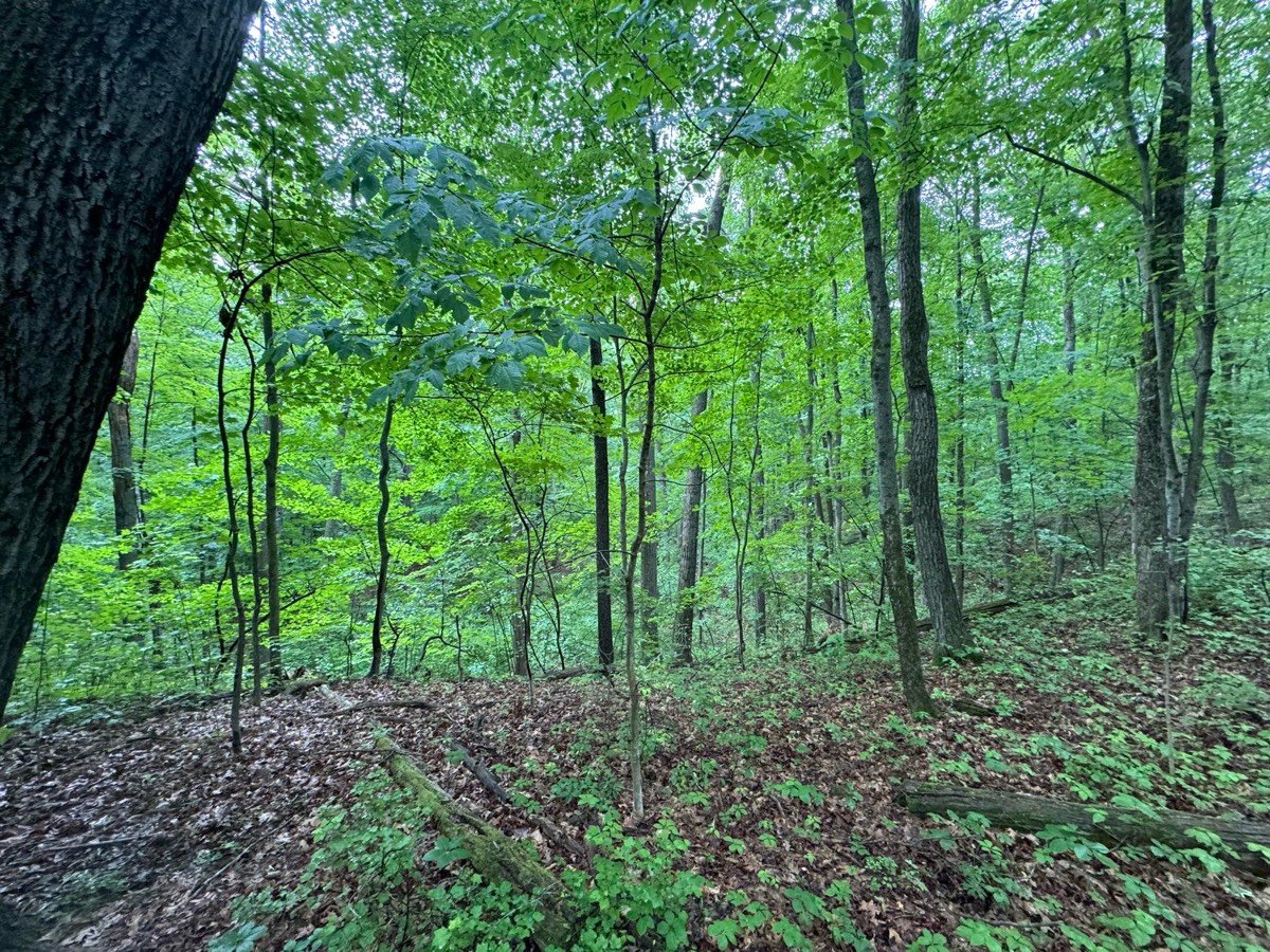
Beautiful, peaceful, all wooded, rocky, some roller coaster hills, some long steep hills up and down, lots of creek beds but dry right now with drought 10/09/2024. Forked a lot so will have to keep an eye on tracker to know which ways to go until learned.
Muddy at first, some roots, softish ground

Good endurance trail.

3 mile loop from trailers
Hilly and narrow in parts

Riding the trails any the Allen County Equestrian Course

State park property in Mason County. Easy trails with pastures and woods.
Went off on narrow trails as I wanted to stay in the shade.

Maplewood West Limited Distance Ride
Winding trail to the HT F no

Fun but hard too! Walk, trot, canter friendly ‚ù§Ô∏èüëå


Hard pack gravel surface. Slight hills, some potholes. Recommend hoof boots on barefoot equines. Some interesting sights along the way.


Back dirt roads, brushy wash, one gate
Long loop around the lake
Superstition Mountain Deer Tank trail
An easy loop with nice scenery

PERC poker ride

Great footing, quiet trail.
The slope out of David canyon is very rocky, I climbed and led Jack up the steepest parts

7.3 miles at broxton
Hilly and chilly, but with stunning views!
Easy to traverse for beginners. Crosses asphalt road. Ends at the observation area and bridge.


Fair Hill - this ride took us 3 hours
House to Red trail


Ride from Salamonie lost bridge to Salamonie Forest. 8 miles one way on main trails. B there took A back.

Need shoes ,rocky , steep.. great ride
Coldwater red/blue/yellow with road gallop

Did level 4 technical


Fields double track little streams

Flat with a few elevations, primarily dirt through the woods, with some road. Must cross bridge with cars.

Some wooded, some open fields, mostly level ground.
Fun ride. You rarely run into any bikers in the late evening
Nice trail, went to side of trail many times Ôøº
A few single track and two track trail.
River loop and loop around the lake and back to the parking lot at Howell woods. Multi-use park is open every Sunday to horseback riding. The hunting season is over open every day for fishing, biking and horseback riding.

Moderate hills and creeks
Version of Rosaryville Perimeter trail with the fields at the end for canter and gallop work

Nice Sandy for most part, wide, views!
Rolling hills, nice shade sometimes

Well maintained, Woods, can be buggy
Easy pretty short ride


Minimal rock and very flat. Water access in multiple places. Lots of twists and turns for shoulder work and long flat areas with good footing for trotting.

Shangri-La trail red to yellow to 49 and yellow back picking up red to finish loop
Really nice dirt trails. Some open fields mostly wooded.
Highland Park North

Mix of road, trails, steep hills and lots of rocks
Crosses the Bridge and brings you by the farm animals.
All trails in the United States
Ready to explore the best equestrian trails in the United States? Equilab offers thousands of riding routes for scenic strolls, endurance training, and more. Discover verified trail maps to find the perfect path for your next adventure, and then track your ride – all using the world's best horse riding app.
FAQ about Equilab trails
You can explore these trails and many more within the Equilab app! Simply download the app onto your mobile device, create an account, and then head to the “Track” tab. There you can view thousands of trails to discover and ride.
No, Equilab empowers equestrians everywhere to discover and ride trails for free! By creating an account within the app (no payment needed), you will be able to see and ride all public trails. Our Premium subscription offers great additional features, which you can learn more about here.
You can control the visibility of any trails you create using Equilab by selecting different privacy options when saving the trails. If you choose to make a trail "Public", it will be visible here on our website and to anyone using the app. Private trails, on the other hand, are only visible to you and (if you're a Premium user) anyone you share them with. Note: If you rode on private property, we strongly recommend saving your trail as "Private".
Equilab’s list of trails currently only includes those that have been tracked by riders using the Equilab app. As a result, there are still many trails not yet included in our platform. Anyone can track trails and add them for free, however — giving you the chance to help others discover new places to ride!
Yes! You can add a trail from any ride you track using the Equilab app. To so, simply download the app, create an account, then record your ride on the trial.
Note that to create a trail, the ride must be at least 0.6 miles long, have taken at least 5 minutes, and must not have been tracked within an arena.
Our community members have added more than 35,000 public trails, and new ones are added every day. We hope you enjoy exploring them!

Contact our team
Feedback & Help
support@equilabapp.com
Press and Partnerships
marketing@equilabapp.com
Business Inquiries
admin@equilabapp.com


