


All trails in the United States


Ready to explore the best equestrian trails in the United States? Equilab offers thousands of riding routes for scenic strolls, endurance training, and more. Discover verified trail maps to find the perfect path for your next adventure, and then track your ride – all using the world's best horse riding app.
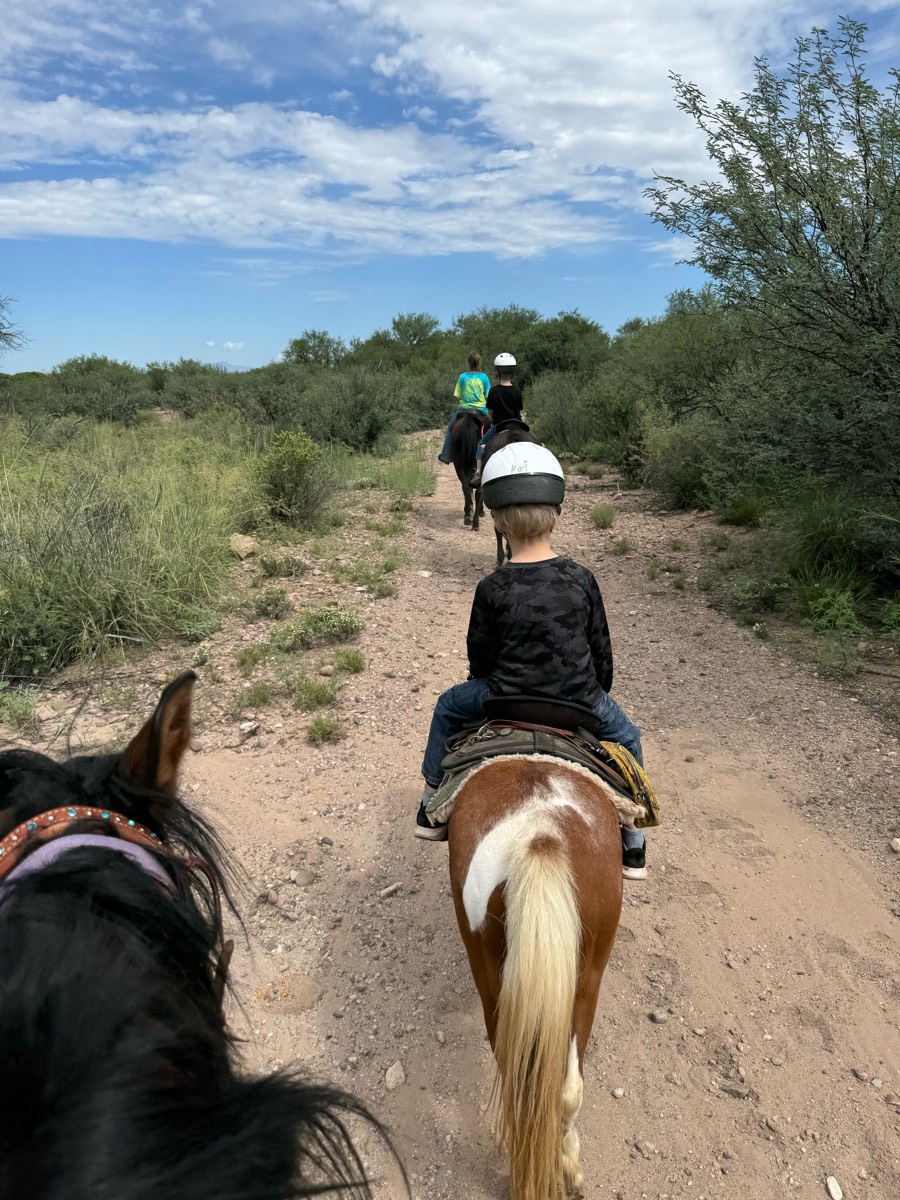
Most popular trails


Not really behind 4B

Technical in parts. Shady

Trail was narrow but good footing. Some rocks in spots but mostly compact dirt. It is a mountain bike and hiking trail also. We parked our trailer in the gravel by the church and rode up to the trail head.
Very nice scenic trail! 95% woods

Moderate, peaceful

Lots of good hill work, mostly soft dirt footing, little shade on Cronan loop, very fun trail overall.
Back in saddle for me n Max.

Upper and lower trails. Lots of shade.
Long winding near water
Through grasslands and trees. Shady

Little rocky, two steep hills, some rally nice areas for trotting and cantering.

Ôøº beautiful, lots of flat areas


Easy to intermediateRoots, hills, and rocks (single riding width)

Pines, sand , gravel road, seasonal road, two track
Down to Kimball pond and back
Mostly flat sandy trails, some are wide enough for carriages. Most barefoot horses will be fine here. The trail is shared with walkers.
Waterfall at end of trail!

Not sure why but it subtracted some miles when I went to add the trail. This was somewhere between 8.7-9 miles

Not a lot of shade: tried to make it to river but too hot .

Easiest place to park and ride in the Bay Area. Giant parking, friendly rangers, wide flat trails with no dogs off leash. Best place to take green horses or beginner riders!
Woods, trails , little slick in spots
Scenic, Rocky, lots of incline, creeks to cross
Lots of climbing and rocks
Good training ride trail. Lots of hills, sand and turns


Gorgeous, shady trail. There are hills, rocks, and water to cross. Monday morning there were a few hikers. Sometimes I see mountain bikers.
Includes a water crossing or 2 depending on weather. Some gravel rock areas hard on tender foots.
Pomfret forest, airline trail and loop through part of Natchaug State Forest to Mashamoqet brook state park
Cart path wooded bridge. Mostly walking due to rocky path

Basic loop at Clinton
Residential horse trails

Not sure if we’re supposed to be riding on one piece of the road, signage is not clear 
Great camping and riding
Several Creek crossings and mild hillsÔøº
Colt creek state park multi use trail
Wooded, small hills, creek crossings- clearly marked
Carlisle south loop
Took the left trail from the parking area.Got Rocky so turned around as my horse is barefoot. Encountered one very polite biker. Public gamelans, trail well marked.

Pine hollow start. Up the cascade springs and up to primrose (big climb). Down willow hollow to connect to pine hollow again
Short Saturday ride

Les Hilde Trailhead, trail took 4 hours with lunch stop


Horse should be fit, sure footed, and good with motorcycles. Hoof protection highly recommended. It's steep down and back up, but "The Blue Hole" is beautiful and is a great place to sit and have lunch before trekking back out. Gets hot in the summer so ride it in spring or fall
Store to Forest Camp

Sheyenne National Grasslands

Great views of Lake Hartwell
Horse trail within Oak Openings, good terrain changes and lots of bends.

Zoo drive to Victory
Bridle trail at Sugarcreek Metropark. Nice mix of hills and flat, meadow and trees. Some easy water crossings
Up red, green, purple, steps, purple, back
Red & Across street

Bike and horse trails swap-see schedule

Carlisle - North Loop to Vistor Center and back

Steep hills through the timber
Blue trail to water and back

Consistent inclines up Mill Canyon as you summit Ridgeline Trail. About 4 solid Waterpoints, maybe more. Very very steep decline down to Forest Lake. Potentially 1000 to 1200 feet in .75 miles. Big drop offs and big rocks. Possible to walk with a confident in hand horse.
Mostly double wide, some great views and good inclines.

Horse loop plus Makanda boardwalk

Hilly, dirt road first then into woods. Might have trees blocking, just go around. Gets grassy further in. Could go father then what we went.


All trails in the United States
Ready to explore the best equestrian trails in the United States? Equilab offers thousands of riding routes for scenic strolls, endurance training, and more. Discover verified trail maps to find the perfect path for your next adventure, and then track your ride – all using the world's best horse riding app.
FAQ about Equilab trails
You can explore these trails and many more within the Equilab app! Simply download the app onto your mobile device, create an account, and then head to the “Track” tab. There you can view thousands of trails to discover and ride.
No, Equilab empowers equestrians everywhere to discover and ride trails for free! By creating an account within the app (no payment needed), you will be able to see and ride all public trails. Our Premium subscription offers great additional features, which you can learn more about here.
You can control the visibility of any trails you create using Equilab by selecting different privacy options when saving the trails. If you choose to make a trail "Public", it will be visible here on our website and to anyone using the app. Private trails, on the other hand, are only visible to you and (if you're a Premium user) anyone you share them with. Note: If you rode on private property, we strongly recommend saving your trail as "Private".
Equilab’s list of trails currently only includes those that have been tracked by riders using the Equilab app. As a result, there are still many trails not yet included in our platform. Anyone can track trails and add them for free, however — giving you the chance to help others discover new places to ride!
Yes! You can add a trail from any ride you track using the Equilab app. To so, simply download the app, create an account, then record your ride on the trial.
Note that to create a trail, the ride must be at least 0.6 miles long, have taken at least 5 minutes, and must not have been tracked within an arena.
Our community members have added more than 35,000 public trails, and new ones are added every day. We hope you enjoy exploring them!

Contact our team
Feedback & Help
support@equilabapp.com
Press and Partnerships
marketing@equilabapp.com
Business Inquiries
admin@equilabapp.com


