


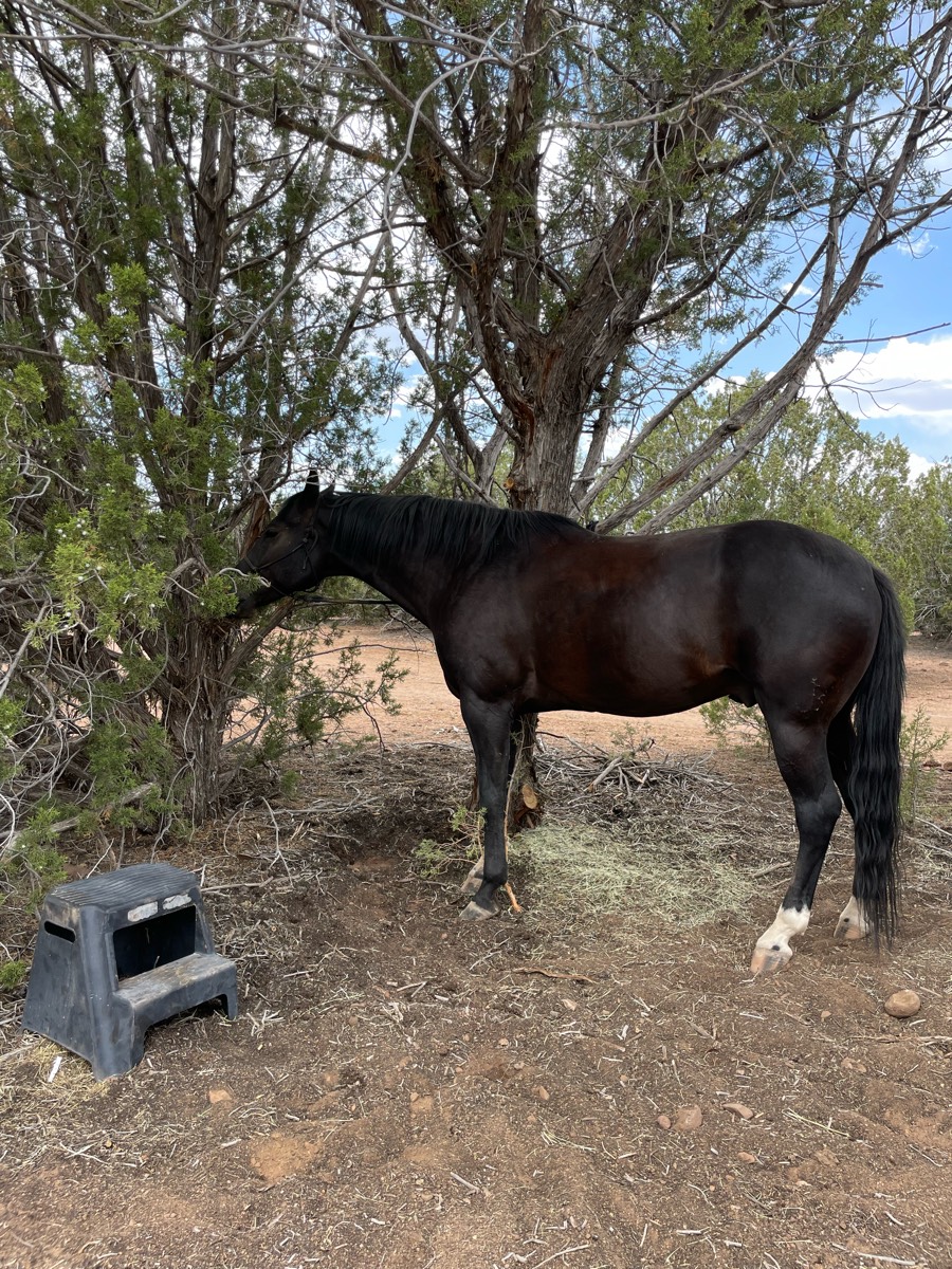
All trails in the United States


Ready to explore the best equestrian trails in the United States? Equilab offers thousands of riding routes for scenic strolls, endurance training, and more. Discover verified trail maps to find the perfect path for your next adventure, and then track your ride – all using the world's best horse riding app.
Most popular trails


Leave by day use and return by arena.

Lots of up and down rock climbing.
Flat with candy spots. Woods and a big field

Easy Laid-back Ride
Thunderbird lake Equestrian Trail
Ball Diamond to Doc’s Mountain to backside of camp through the water
Entrance to the Reservoir then Lucky 7 and back
And retirement barn
Ride to the grill with Cynthia and Jeff


Fun beautiful trail with mixed footing

MUST have an experienced horse, but loads of fun. Cross under Hwy 80 and a train trestle. If you're lucky you'll get to the train when it's going by. You can park in the lot just outside Gate 12
Fun trail on East McMaster*Note*: This is not the complete trail.
Great horse trail. Awesome views.
Has some difficult times. Option to go straight instead of up the hill

Enter at first pond, exit at dinosaur.
Barefoot friendly wooded ride
Mix of all terrain but level.
Genito to Balmoral Woods
From the house to McElroy road. Lots of rock and trees to dodge and a seasonal creek, but just like that you are in meadow vista! When you hit the road there are cars and dirt bikes that you have to watch out for. People are nice.
Path behind the ring, through xc, and passing the phillies.

Sand and Hills, Ride on the lakeshore

Mostly flat with creek crossings
Fairly rocky. Have a map
Good trotting

Outside loop, a little swampy.
Hard surface Marked trails

Trail ride wirh Ann
Lebanon Hills Regional Trail

State forest standards
Wash, rock and some hills.
TurtlePeanut Duck diveCavaletti
1st time riding at wood stock equestrian

Easy. Mostly flat. Several water crossings.


With Kevin and Fury, headed out on a quick loop to the picnic benches and came back to meet with Sandy and Christy. Jewel did great and we walked the rest back alone as Kevin wanted to let Fury run. Beautiful day⭐️⭐️⭐️

Trails through the woods
Nicely mowed today now but soon over grown with weeds. Tree down in one spot my horse’s chest high. And one place not need but stick to the north side and it’s fine to break thru.
Loop out of Campo Seco. I
Adam to dark valley to ridge/beech to pony exp back to Adamson
Follow the main dirt road all the way up to the satellite tower and back. Ôøº
Washed out rough terrain
Red, white and blue trails. Mostly flat and wide with a few hills at creek crossings

Beautiful hills and open fields trail loop

Somewhat rocky and inclines declines
Rocky at the beginning, then muddy

Washed, rocky, hills, scenic
Easy, some rolling hills, some sand. Out and back
6 easy miles worth of trails
Nice calm ride in the orange groves, along Arredondo Road. Please, please don’t go inside the road with a paster out front. Have a nice time!
cross road, doesn’t cross over rivers

Nice trail not much mudd
Hills, shells and sand
Big way to Wilson
Grindstone Lake fishermans Trail loop.
Rail trail and equine trail

Long trail to bottom of power lines then back home through up the power lines. Good places to gallop!

Forestview Boarding stable to Evergreen Lake
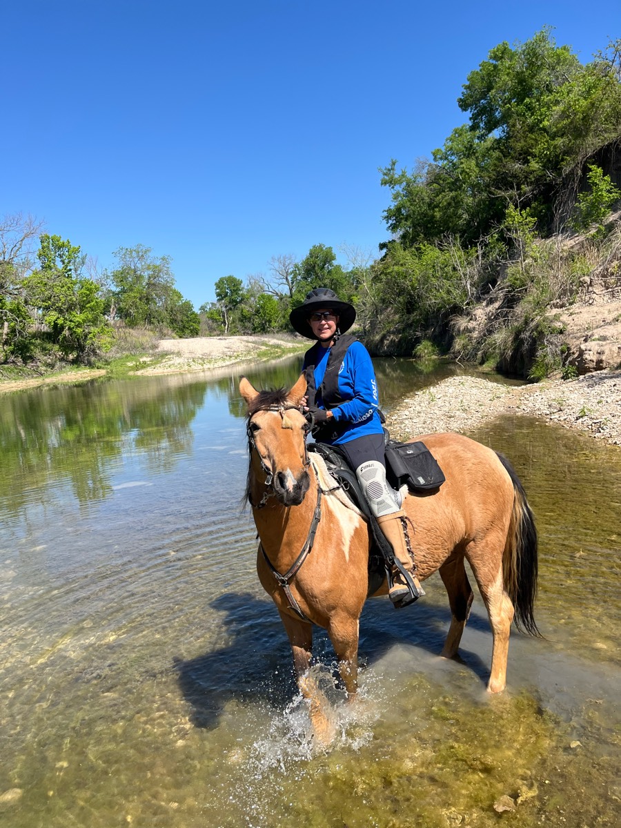
All trails in the United States
Ready to explore the best equestrian trails in the United States? Equilab offers thousands of riding routes for scenic strolls, endurance training, and more. Discover verified trail maps to find the perfect path for your next adventure, and then track your ride – all using the world's best horse riding app.
FAQ about Equilab trails
You can explore these trails and many more within the Equilab app! Simply download the app onto your mobile device, create an account, and then head to the “Track” tab. There you can view thousands of trails to discover and ride.
No, Equilab empowers equestrians everywhere to discover and ride trails for free! By creating an account within the app (no payment needed), you will be able to see and ride all public trails. Our Premium subscription offers great additional features, which you can learn more about here.
You can control the visibility of any trails you create using Equilab by selecting different privacy options when saving the trails. If you choose to make a trail "Public", it will be visible here on our website and to anyone using the app. Private trails, on the other hand, are only visible to you and (if you're a Premium user) anyone you share them with. Note: If you rode on private property, we strongly recommend saving your trail as "Private".
Equilab’s list of trails currently only includes those that have been tracked by riders using the Equilab app. As a result, there are still many trails not yet included in our platform. Anyone can track trails and add them for free, however — giving you the chance to help others discover new places to ride!
Yes! You can add a trail from any ride you track using the Equilab app. To so, simply download the app, create an account, then record your ride on the trial.
Note that to create a trail, the ride must be at least 0.6 miles long, have taken at least 5 minutes, and must not have been tracked within an arena.
Our community members have added more than 35,000 public trails, and new ones are added every day. We hope you enjoy exploring them!

Contact our team
Feedback & Help
support@equilabapp.com
Press and Partnerships
marketing@equilabapp.com
Business Inquiries
admin@equilabapp.com


