


All trails in the United States


Ready to explore the best equestrian trails in the United States? Equilab offers thousands of riding routes for scenic strolls, endurance training, and more. Discover verified trail maps to find the perfect path for your next adventure, and then track your ride – all using the world's best horse riding app.
Most popular trails


A mix of gravel and single track trails. Good horse trailer parking. Round pen for warmup. 4 corrals. Day use only.

Busy fast 2 lane highway and paved road into neighborhood with two cul de sacs.

Steep, gorgeous, very poor signage. At the t go left, not right to the peak

Wide easy trails for a pleasurable day of riding or to train youngsters. Cross 174 to access more trails
Very nice trail. Some small inclines.

One of many trails on this land. Super fun. Take plenty of water to drink. Requires a day/weekend pass. (free) online. Camping tent only.
Easy trail with ups and downs
Rolling hills, mix of pine and oak hammocks

Moderate rocky. Lake.
Mixed hard-packed, rocks, and some new small gravel (hard to pull through).
Very technical. Need a sure footed horse in good shape with a good mind. Hoof protection all around highly recommended. Some barking dogs in a few places, but overall a very nice trail
9 Mile Loop from day use area
Fonzo’s Trail ride 2024


Muddy kinda technical in areas.
Recommend boots or shoes. Can be rocky
BP Groton house and Appleton
Paved road for cars.Riding pasture to pasture
Level, great footing, mostly shaded
To the beer joint
Roadwork there, two-track back

Urban trail, major street crossings and canal riding
West loop at sleepy hollow state park. It does cross bike trails and walks next to the road briefly. You occasionally see people walking

Gradual incline. Some mud spots but not bad
Carriage trails at Moses Cone

Flat 7 mile loop along bike path
Horse trail, flat with some hills.
Public park with several miles of well manicured horse & hiking trails

Good for a nice trot
Flats and canyons. Good footing.
some mud, some tough creek crossings


Horseback riding and hiking trails. Horses need to be shod on some of the trail.

Sheyenne National Grasslands
Basic loop at Clinton
Endurance 25 mile ride loop

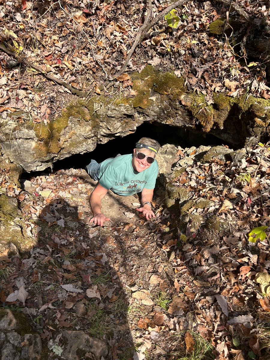
Lovely fall day.

Orange to yellow by chimney down to dewys cabin to the black then camp. The orange is no joke be ready for hills abd creek crossing

Past arena and up the valley to the left. Then up to the top of the ridge, take right and come down the next valley. Then back to the arena. Pretty rocky towards the top.

Hills and sand
Gate opens at 8a. Trails wind around lakeside and in woods. Arena. Porta-potty. Obstacles course in woods. Check Troup County Saddle Club FB page for events.
Trail blue to silver to white to blue to silver to blue to yellow

Pretty views, mainly no cars but if there were any theyd slow or stop. Turned to paved just for a little then turned to dirt road. Was barefoot friendly for my horse

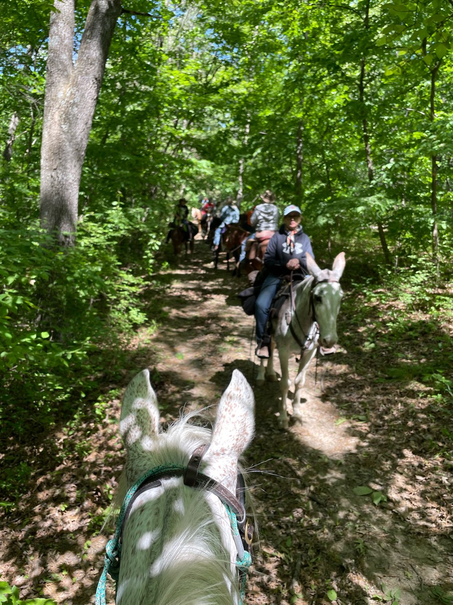
Rina/ Rode with Molly
Flat trees then open field
Sandy, rutty, shared trails with ORV
Around 4 miles. A lot of pine tree trails with minimal road crossings. Mostly on the red trail. Ôøº


Overgrown at first but turns out to be a super nice trail. Rocks

It is a nice trail I don't recommend this for green horses because there is buggies and biks and sit in bikes. So after the bridge we also go down into the river and have a slashing good time! Lol (the trail is future but we got tired lol.

All trails in the United States
Ready to explore the best equestrian trails in the United States? Equilab offers thousands of riding routes for scenic strolls, endurance training, and more. Discover verified trail maps to find the perfect path for your next adventure, and then track your ride – all using the world's best horse riding app.
FAQ about Equilab trails
You can explore these trails and many more within the Equilab app! Simply download the app onto your mobile device, create an account, and then head to the “Track” tab. There you can view thousands of trails to discover and ride.
No, Equilab empowers equestrians everywhere to discover and ride trails for free! By creating an account within the app (no payment needed), you will be able to see and ride all public trails. Our Premium subscription offers great additional features, which you can learn more about here.
You can control the visibility of any trails you create using Equilab by selecting different privacy options when saving the trails. If you choose to make a trail "Public", it will be visible here on our website and to anyone using the app. Private trails, on the other hand, are only visible to you and (if you're a Premium user) anyone you share them with. Note: If you rode on private property, we strongly recommend saving your trail as "Private".
Equilab’s list of trails currently only includes those that have been tracked by riders using the Equilab app. As a result, there are still many trails not yet included in our platform. Anyone can track trails and add them for free, however — giving you the chance to help others discover new places to ride!
Yes! You can add a trail from any ride you track using the Equilab app. To so, simply download the app, create an account, then record your ride on the trial.
Note that to create a trail, the ride must be at least 0.6 miles long, have taken at least 5 minutes, and must not have been tracked within an arena.
Our community members have added more than 35,000 public trails, and new ones are added every day. We hope you enjoy exploring them!

Contact our team
Feedback & Help
support@equilabapp.com
Press and Partnerships
marketing@equilabapp.com
Business Inquiries
admin@equilabapp.com


