


All trails in the United States


Ready to explore the best equestrian trails in the United States? Equilab offers thousands of riding routes for scenic strolls, endurance training, and more. Discover verified trail maps to find the perfect path for your next adventure, and then track your ride – all using the world's best horse riding app.
Most popular trails


Linear trail with loop options. Dirt. Total 20 miles with orange blazes. Several creek crossings, steeper hills, boggy areas
Roads in Ponderosa Park

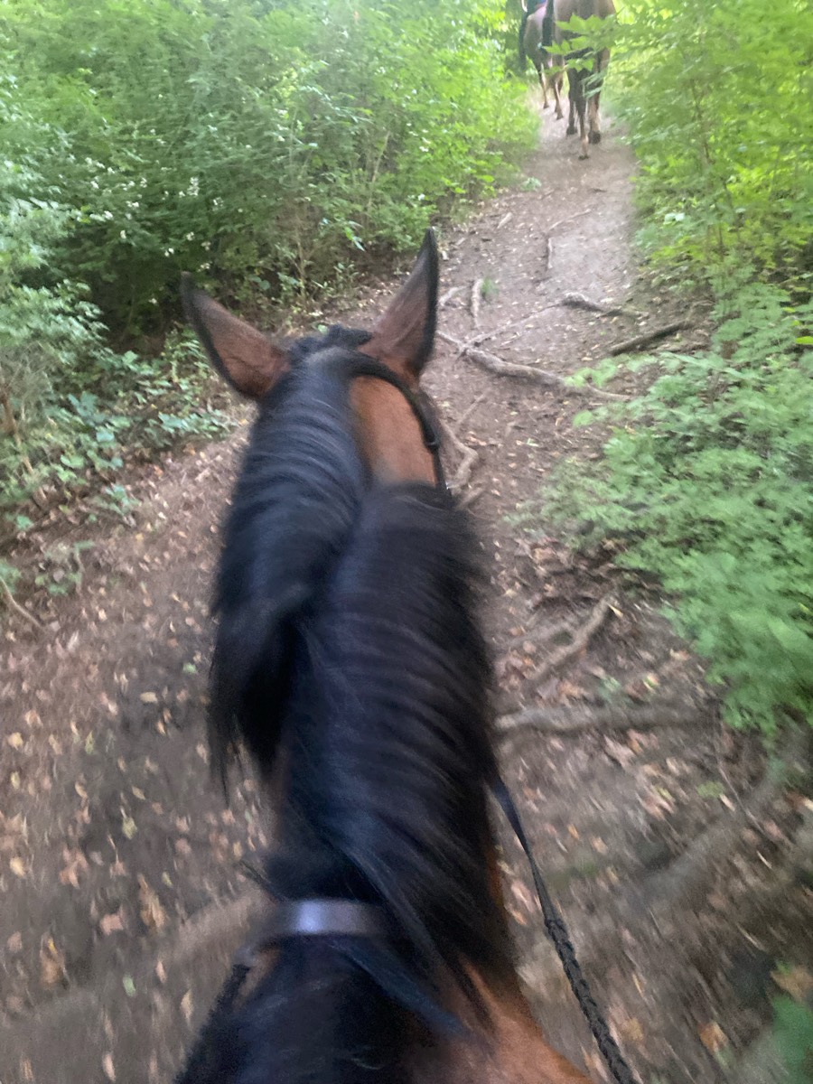
A wonderful Hunter pace for my birthday up in Pittstown
Well marked trails
St Marks Headwaters kill
Trying to find the fields, but didn’t
Sand & water
Goes behind Sweet Sunday and Harwood, down to the river and back to the parking area.

Very technical and rocky, quiet trails, climb down to river and climb back up on salt creek loop.
Calm and flat with some mud from overflowing of their lakes
2nd entrance, South side horse trail, service road, service road exit.

Small hills, grass, couple spots through the trees
Rocky with steep spots
Outskirts only (crops in the middle) no ground hog holes spotted so far, some good cantering spots

Consistent inclines up Mill Canyon as you summit Ridgeline Trail. About 4 solid Waterpoints, maybe more. Very very steep decline down to Forest Lake. Potentially 1000 to 1200 feet in .75 miles. Big drop offs and big rocks. Possible to walk with a confident in hand horse.
Up passed the tree house over to Bells mill and on forbidden drive

Easy trail -well worn and marked.

Switchback to Park then 125 Bridge and Conduit
Donna, Ginger, Carol R., Tonia, Jenny S, me
Easy loop out the main way and back on the nice trail.

Karen and Dulcie
Mulch trail at dimple Dell
Reynolds’s creek


From Lower Pine TH to Coyote Canyon

Lots of trees elk deer

Up & down canyons with steep slope and great views

Very hilly narrow trails with a few encounters with cyclists and walkers

Steep challenging terrain


Out to Prosser and back
Port Blakely tree farm

Fence line up then across hiline then packers bridge n cut off loop to parking lot
Snowmobile trail. Some muddy areas. Decent footing though there are some rocky areas. Would recommend boots. Trail head is off of Bisco Road.
Sandy , wooded, grass trailsÔøº

Varied from smooth and grassy to heavy woods and two lane dirt roads.
Back in saddle for me n Max.

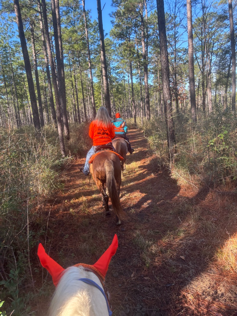
Taking the Founders Trail MCT to the suspension bridge and walking a little further past it. Then up the Goat Creek-Flagg Mtn-Inn Run back to the corralsThere are a couple hills, but they aren’t super steep and the footing is okay, a little rocky, but not bad

Wild River State Park - heading out of the equestrian campsite to the south.

Slight inclines, easy but some rocks.
Mostly flat sandy trails, some are wide enough for carriages. Most barefoot horses will be fine here. The trail is shared with walkers.

Entered park for Camping and parked at the end of the line by the open corn field. Sign trail maps easy to read around multiple locations with stars marking current spot. Some bridges. Open field border around most corn field with some well kept coops for jumping or go around.
Bridges and little creeks
Little bit of everything
Hobbs-Townsend Ridge trail head parking area-Riding part of the War Eagle loop to overlook and back only. (Not the entire loop). Rocky, down trees, but clear paths. Climbs and switchbacks. Single lane trails.

SandyFollows the road side with different branches that trail off to smaller paths
Well marked with signs.

River trail loop from equestrian day parking
Water crossings steep hills and single track
Path by road and then field and middle trail back
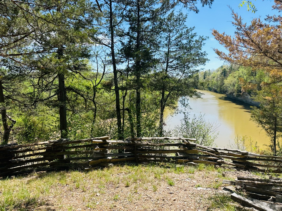
Relaxing trail along the river
Shorter training route
Blue to turquoise

Awesome following the lake.
Blue to grey trails.
Nice easy good gaiting
wooden and water
Mostly sand very open flat trails.
Sentinel Pine: several bridge crossings, steep hill with roots near where intersects Lane at north end (moderate to difficult level). Lane Trail easy level, suitable for nearly all (hoof boots recommended for all).
One of the best we’ve been on.
Upper right side of park
Lots of shade. No shortcuts back. Don't forget water. Spray yourself and your horses GOOD!
Hilly, picturesque

Small hills solid ground 6.6 miles
Easy , shaded, water at the end
All trails in the United States
Ready to explore the best equestrian trails in the United States? Equilab offers thousands of riding routes for scenic strolls, endurance training, and more. Discover verified trail maps to find the perfect path for your next adventure, and then track your ride – all using the world's best horse riding app.
FAQ about Equilab trails
You can explore these trails and many more within the Equilab app! Simply download the app onto your mobile device, create an account, and then head to the “Track” tab. There you can view thousands of trails to discover and ride.
No, Equilab empowers equestrians everywhere to discover and ride trails for free! By creating an account within the app (no payment needed), you will be able to see and ride all public trails. Our Premium subscription offers great additional features, which you can learn more about here.
You can control the visibility of any trails you create using Equilab by selecting different privacy options when saving the trails. If you choose to make a trail "Public", it will be visible here on our website and to anyone using the app. Private trails, on the other hand, are only visible to you and (if you're a Premium user) anyone you share them with. Note: If you rode on private property, we strongly recommend saving your trail as "Private".
Equilab’s list of trails currently only includes those that have been tracked by riders using the Equilab app. As a result, there are still many trails not yet included in our platform. Anyone can track trails and add them for free, however — giving you the chance to help others discover new places to ride!
Yes! You can add a trail from any ride you track using the Equilab app. To so, simply download the app, create an account, then record your ride on the trial.
Note that to create a trail, the ride must be at least 0.6 miles long, have taken at least 5 minutes, and must not have been tracked within an arena.
Our community members have added more than 35,000 public trails, and new ones are added every day. We hope you enjoy exploring them!

Contact our team
Feedback & Help
support@equilabapp.com
Press and Partnerships
marketing@equilabapp.com
Business Inquiries
admin@equilabapp.com


