


All trails in the United States


Ready to explore the best equestrian trails in the United States? Equilab offers thousands of riding routes for scenic strolls, endurance training, and more. Discover verified trail maps to find the perfect path for your next adventure, and then track your ride – all using the world's best horse riding app.
Most popular trails


Membership Required.

One section of trails
Long gravel there and back
A beautiful ride. Rocky and hilly. After normal rains there will be water crossings with mud.

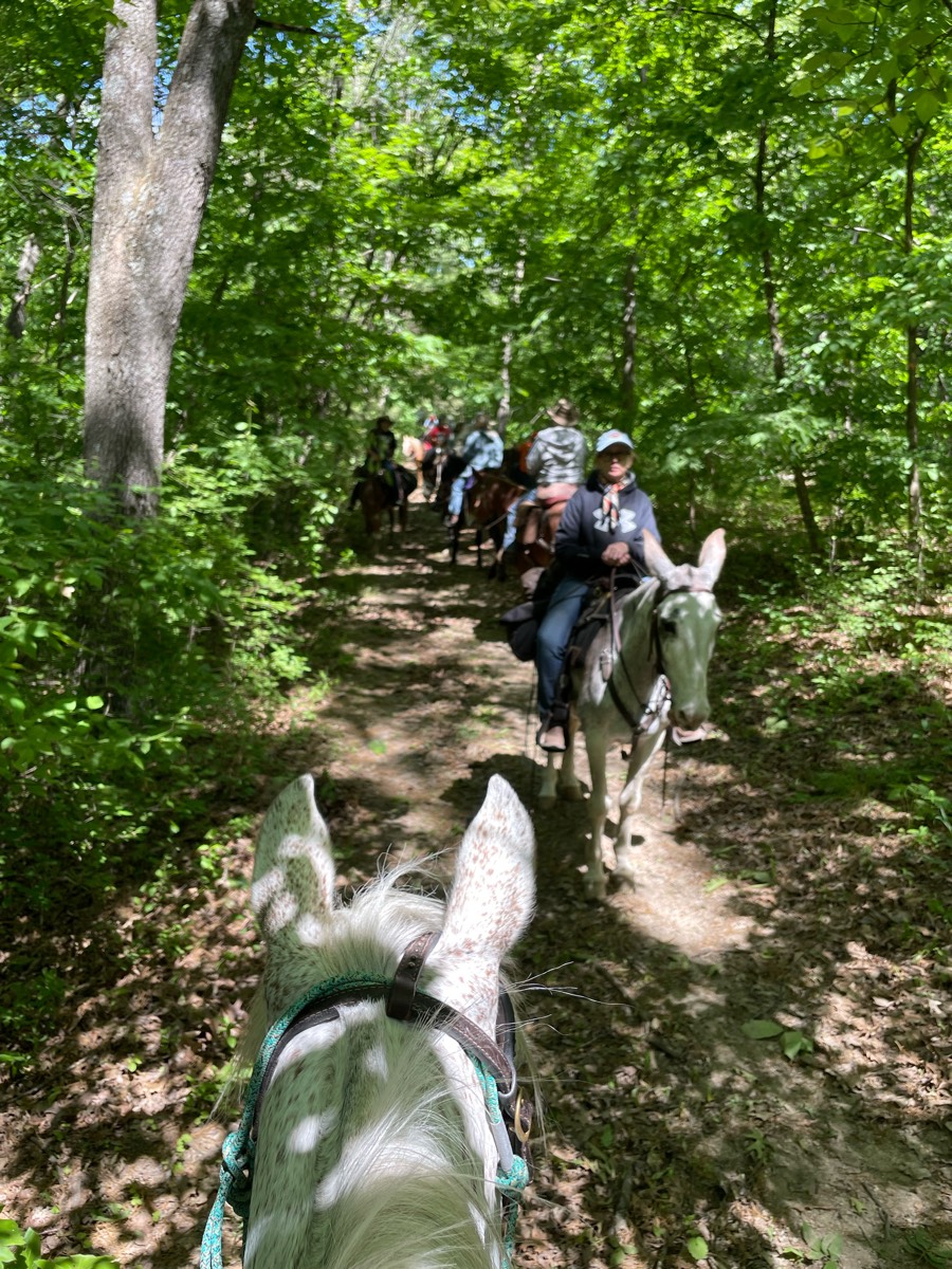
Part of Pine Top Farm in WV

Loop used by Equine Community Resources for their September trail challenge and poker ride fundraiser. No water in camp. Hoof protection recommended.
Lots of areas to ride
Gravel trail, very well maintained, goes for miles. The recorded portion is only a small bit. It does intersect with roads. The sides of the trail can be fairly steep at times, and it is shared with runners, bikers, and dog walkers. Normally pretty quiet and empty.
Ignore the side spurs Ôøº
North Appleton Fair Hill Entrance to Mason Dixon Greenway Trail and loop back

Easy.. Concrete with green belts on sides most times

Flat, pea gravel, with high bridges and a Tunnel. Cost $11 to park trailer
Have a green horse and looking for it to get more experience on trails. This is the perfect place to go

County Park. Native SWFL.

Mostly diet. Hills. Water.

Mainly back roads, just a small amount of Lil by pass

Wide trails some rocks some climbs fairly easy trails only open to horses on weekdays must pre register.


Double wide trails. Cows roam free throughout preserve. Multiple gates need to be opened and closed. Very well maintained.
Roads, Gallagher, fair grounds
through the woods then down wills driveway

Gravel road to cow trails, Multiple creek crossings, multiple campgrounds about halfway through, cattle country, ponds on/right off trail. This is our cow push route

Red sand and some rocks. Rode high but not in the hills

Very quiet trail around farm fields and a small lake pretty much all grass
Little rocky in spots, some small hills.
Start and finish at day camp.

Multiple obstacles include gate, cowboy curtains (fake chain and rope), weaving trees, bridge, tire tunnel, pole course, log crossLots of up and down with amazing views, mix of dirt/grass and stoney pathsMcmiller is near so gunshots are common as are large equipment in fields

Gets to the base of the waterfall and back to barn
Wooded and rocky trails with yellow gaits to walk through

Black trail from far side of camp

Mostly single track through the woods

Not too many rocks

Deep sand in some parts
Flat ground, some sloping ups and downs. Some parts overgrown
Ver nice gradual hills. Places to move out
Fat Man’s and Table Rock and 31 Horse Cave
Good hill climb good view
One of the many possible loops out of the Olmstead Trailhead
River valley horse camp
Pee wee cut off to park office
Grassy, wooded, bridge
Outside Glenrock

Great camp santinoni
Lots of trails. Well marked.

Easy trail, though there are some areas that need to be detoured.
Gravel. Small river crossing.
Very nice scenic trail! 95% woods

Over the dunes to along the Lake Michigan shore.

Lots of up and down rock climbing.

Nice natural trails, only 3 small spots with gravel.
Easy trail with lots of paths

Some rocks, but nice multi-usr trails.
Morrison Figure 8

trail going around the florida horse park

Great day to be alive!

Yellow Green. Blue and Brown trail

Starts at 2 water tanks at Picacho mountain area.

Gravel road with 4+ access points to trails


All trails in the United States
Ready to explore the best equestrian trails in the United States? Equilab offers thousands of riding routes for scenic strolls, endurance training, and more. Discover verified trail maps to find the perfect path for your next adventure, and then track your ride – all using the world's best horse riding app.
FAQ about Equilab trails
You can explore these trails and many more within the Equilab app! Simply download the app onto your mobile device, create an account, and then head to the “Track” tab. There you can view thousands of trails to discover and ride.
No, Equilab empowers equestrians everywhere to discover and ride trails for free! By creating an account within the app (no payment needed), you will be able to see and ride all public trails. Our Premium subscription offers great additional features, which you can learn more about here.
You can control the visibility of any trails you create using Equilab by selecting different privacy options when saving the trails. If you choose to make a trail "Public", it will be visible here on our website and to anyone using the app. Private trails, on the other hand, are only visible to you and (if you're a Premium user) anyone you share them with. Note: If you rode on private property, we strongly recommend saving your trail as "Private".
Equilab’s list of trails currently only includes those that have been tracked by riders using the Equilab app. As a result, there are still many trails not yet included in our platform. Anyone can track trails and add them for free, however — giving you the chance to help others discover new places to ride!
Yes! You can add a trail from any ride you track using the Equilab app. To so, simply download the app, create an account, then record your ride on the trial.
Note that to create a trail, the ride must be at least 0.6 miles long, have taken at least 5 minutes, and must not have been tracked within an arena.
Our community members have added more than 35,000 public trails, and new ones are added every day. We hope you enjoy exploring them!

Contact our team
Feedback & Help
support@equilabapp.com
Press and Partnerships
marketing@equilabapp.com
Business Inquiries
admin@equilabapp.com


