


All trails in the United States


Ready to explore the best equestrian trails in the United States? Equilab offers thousands of riding routes for scenic strolls, endurance training, and more. Discover verified trail maps to find the perfect path for your next adventure, and then track your ride – all using the world's best horse riding app.
Most popular trails


Hitchcock Woods perimeter trail.
Bridle trail at Kiser Lake State Park
Donna, Ginger, Carol R., Tonia, Jenny S, me
Took a full day. Beautiful
Forested, changes in elevation.
Trying to find the fields, but didn’t
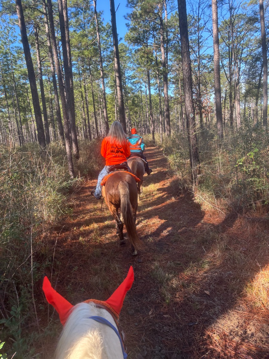
Advanced Beginner trail. Wooden bridges, water crossing steeper hills.


Top of BLM ridge, descend between hills, along fence to north.

Took lower trail, 5 bridge crossings
Lots of climbing and rocks

Abandoned rail trail
Part of the Tevis trail. Mostly down hill, flat, and easy. Dusty
Some hills and a creek crossing
Ride S on beach to jetty.Rode inland to jetty road N, back to horse camp.
Chuch entrance to bridge & back

Hills, sand, pasture
Lots of trees elk deer

SUNY ow pace trail - easy to get lost if you don’t know. Maintained by The Smithtownhunt Hunt for two events a year.
Easy Laid-back Ride
Barn to yellow house road

Starting out down mud pond road to the rail trail to potato Rd then south rd
Yellow trail out, Red trail back.
A few single track and two track trail.
to the caisson fields and back in a loop from MW

Amenia New York. Absolutely horse friendly trails and fields. 10+ miles available. 100% barefoot safe. Various level jumps, all with go-arounds. Trail route for Wethersfield hunter pace 2024 $20 day purchase with options for season purchases.
Only open once or twice per year.

ASSUNPINK UPPER FREEHOLD NJ

First time at Hayes. Trails were extremely muddy.
The trail behind our house.


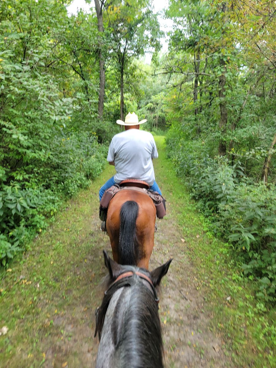
An easy trail, with a mix of open fields and woods. There may be hikers and bikes

Lots of rocks and up and down in canyons Ôøº
Rocky, hilly. Check in at ranger station w/fee & Coggins. Overnight stall rentals.
Lake Lowndes horse trails


Wide for carriage access, fields
Well marked trails
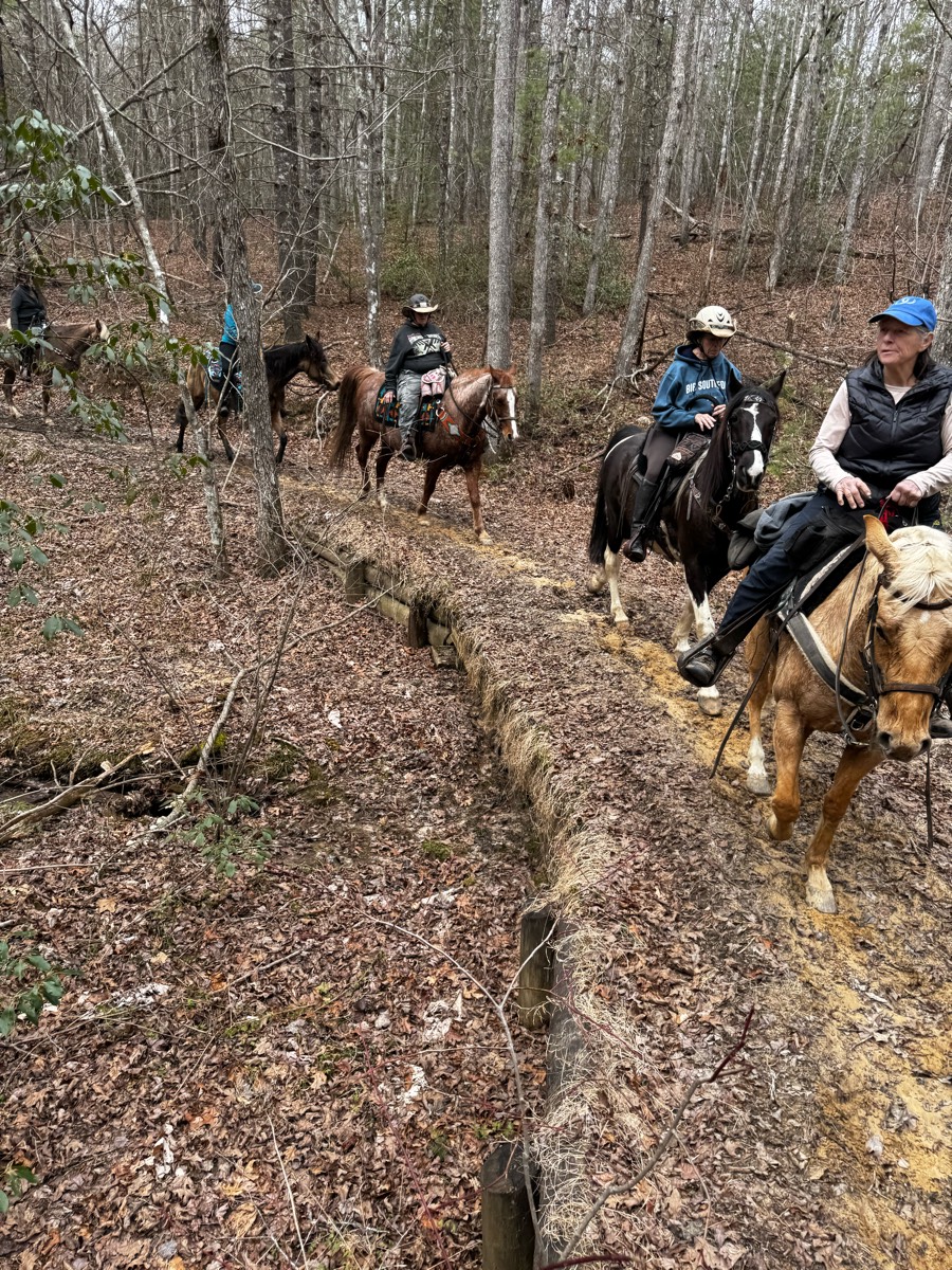
Lots of water crossings and stepovers logs and brush. Trails are very well marked.

Allen County Equestrian Course, trails and obstacles.
Big loop clockwise to 2/3 right to dd run


Part of the Blue Marsh full loop trail. Combo of single track and wider field trail. Well marked.
Gravel road, shaded

All road, mostly gravel

Changes of elevation and great areas for sprints

Partly Double track trail
Path around lake with some shoots across
goes through hills and vineyards. lots of places where you must cross the street.

Great loop for sustained long trots. Not much hill or elevation work though.

Deep sand on some.

Part of Mark Twain
Easy, some rolling hills, some sand. Out and back


Nice trail, some gravel spots with a few water crossing that most are dried except 1 or 2

All trails in the United States
Ready to explore the best equestrian trails in the United States? Equilab offers thousands of riding routes for scenic strolls, endurance training, and more. Discover verified trail maps to find the perfect path for your next adventure, and then track your ride – all using the world's best horse riding app.
FAQ about Equilab trails
You can explore these trails and many more within the Equilab app! Simply download the app onto your mobile device, create an account, and then head to the “Track” tab. There you can view thousands of trails to discover and ride.
No, Equilab empowers equestrians everywhere to discover and ride trails for free! By creating an account within the app (no payment needed), you will be able to see and ride all public trails. Our Premium subscription offers great additional features, which you can learn more about here.
You can control the visibility of any trails you create using Equilab by selecting different privacy options when saving the trails. If you choose to make a trail "Public", it will be visible here on our website and to anyone using the app. Private trails, on the other hand, are only visible to you and (if you're a Premium user) anyone you share them with. Note: If you rode on private property, we strongly recommend saving your trail as "Private".
Equilab’s list of trails currently only includes those that have been tracked by riders using the Equilab app. As a result, there are still many trails not yet included in our platform. Anyone can track trails and add them for free, however — giving you the chance to help others discover new places to ride!
Yes! You can add a trail from any ride you track using the Equilab app. To so, simply download the app, create an account, then record your ride on the trial.
Note that to create a trail, the ride must be at least 0.6 miles long, have taken at least 5 minutes, and must not have been tracked within an arena.
Our community members have added more than 35,000 public trails, and new ones are added every day. We hope you enjoy exploring them!

Contact our team
Feedback & Help
support@equilabapp.com
Press and Partnerships
marketing@equilabapp.com
Business Inquiries
admin@equilabapp.com


