


All trails in the United States


Ready to explore the best equestrian trails in the United States? Equilab offers thousands of riding routes for scenic strolls, endurance training, and more. Discover verified trail maps to find the perfect path for your next adventure, and then track your ride – all using the world's best horse riding app.
Most popular trails


Wet trail # 30 past old graveyard, pond trail 28

Single and double track
Easy trail but cross a busy road
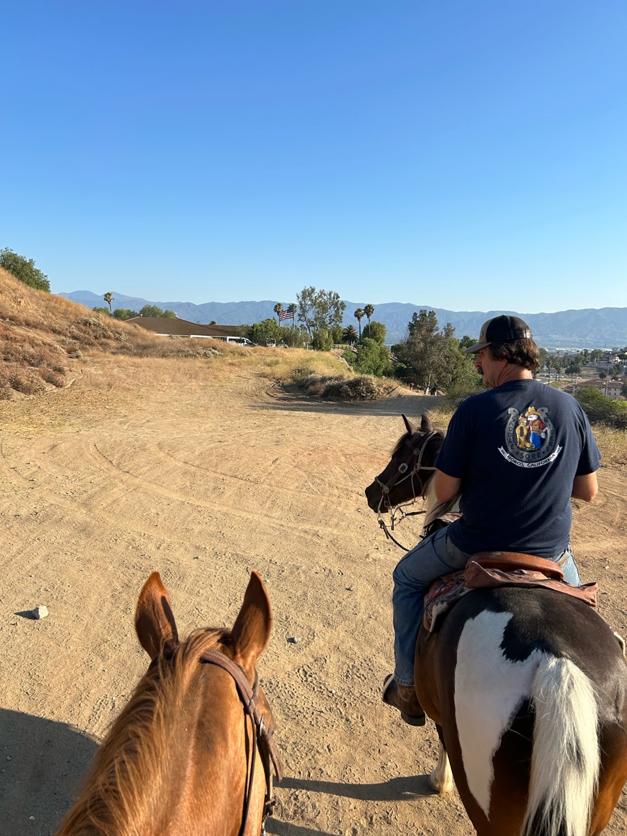
Mostly trail, some brush and hill on norconian. Good ride

Hard pack gravel surface. Slight hills, some potholes. Recommend hoof boots on barefoot equines. Some interesting sights along the way.
Mostly easy with some climbing spots

Started across dam, then cross back and down to river bed to water.üí

Minimal rock and very flat. Water access in multiple places. Lots of twists and turns for shoulder work and long flat areas with good footing for trotting.
good parking, lots of gravel but mixed with softer ground, one road crossing


Multi use trail. Started at Stockbridge and headed toward Gregory. Roads to cross. Paved and gravel.
Eagle Foothills trail; UP & DOWN

This takes you through the airline trail, some bike trails through the woods, and part of the We-Li-Kit ice cream ride. Much of the terrain is soft. There are areas of rocks that you may want boots or shoes on your horse. There are plenty of areas to trot and canter.

Gravel road at the start with a good elevation gain. Rest of the trail is very nice single track with some great boardwalk bridges and spectacular views.
Public water dept builds ect
Power lines, lots of sun, national forest
4 mile trail near Phillips pond
Easy trail with multiple options of how long you want to ride.
No town sinkhole path back


Plenty of hill work. Rocky. Front boots required, no real water source for drinking on this particular trail.parking is terrible. No goosebeck! Lovely ride!
Pretty easy trail for a moonlight trailride. Save grounds for walk trot and canter on the dark
Beautiful mountain trail good switch back roads
Wide grassy great footing
Horse trail, nice loop with mild hills

Easy Laid-back Ride

Catalina State Park equestrian campsite

Awesome following the lake.

From Dry creek to 28th St

Vineyard Mtn to hole in the bucket

Trinity Trail on Lake Lavon
Great beginner and within timeline.

Loop used by Equine Community Resources for their September trail challenge and poker ride fundraiser. No water in camp. Hoof protection recommended.
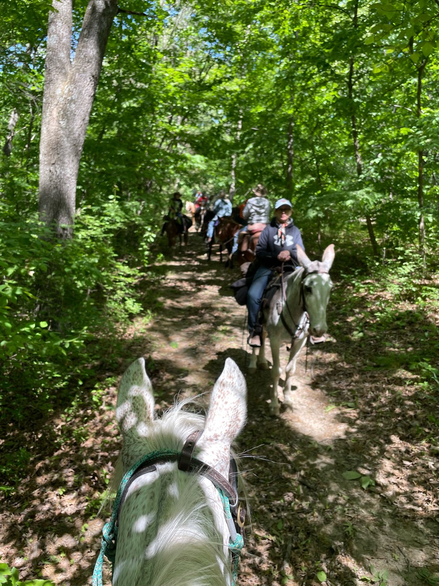
Barefoot friendly trail that goes through woods, meadows, and along the lake.
Flat sandy trail. Easy level.


Maute rd, blue and yellow trails

Fun by the river


Final segment of Trinity Trail Highland North starting from Wild Estate boarding pasture.

Cross the river twice, mixed footing, road riding at times


Varied terrain with a few challenges. Incredible view at the lake. Part of the trail is shared with UTVs. Parking is scarce, turnaround is tight. Not recommended for giant rigs.


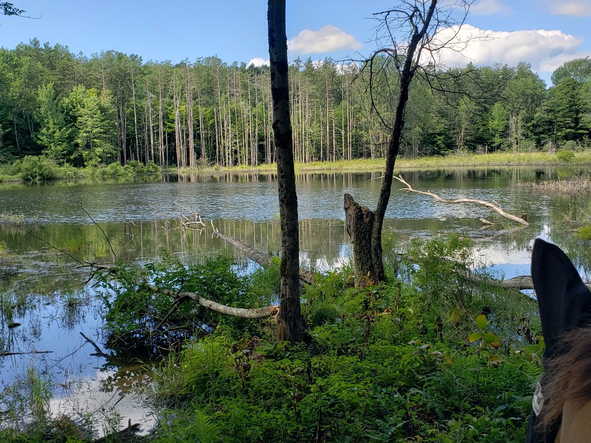
Nice trail system. Ungroomed due to all the water. Trails were wet
Bridges and little creeks
West loop plus east loop but having taken the east loop shortcut
Richard Ravens rode with Melody
Nice footing mostly sand and sandstoneUps and downs. Good conditioning trail.
Loop beings at the boggy bend and ends just ahead of it.
Spots were Kind of rocky, tiny water crossing then nice big creek at the end of trail, nice trail
Hay fields and wood path

Fair Hill - this ride took us 3 hours

Great trail! Beginner to advanced will have fun
Flat trees then open field
Allegan County and silver creek
Looping trail with bridges
Big loop to dead deer left on 16 right at the end the right
Easy on the blue trail but hard work on the orange trail

This is another trail that is part of Bridlewild. Become a member to get a map and explore all 40 miles of trails! https://www.bridlewildtrails.org/ My home is a part of this trail system, so PLEASE park in the road, or park at Henry park!

Trail from Adamcin equestrian center to CDO Wash
All trails in the United States
Ready to explore the best equestrian trails in the United States? Equilab offers thousands of riding routes for hacking, endurance, and more. Discover verified trail maps to find the perfect path for your next adventure, and then track your ride – all using the world's best horse riding app.
FAQ about Equilab trails
You can explore these trails and many more within the Equilab app! Simply download the app onto your mobile device, create an account, and then head to the “Track” tab. There you can view thousands of trails to discover and ride.
No, Equilab empowers equestrians everywhere to discover and ride trails for free! By creating an account within the app (no payment needed), you will be able to see and ride all public trails. Our Premium subscription offers great additional features, which you can learn more about here.
You can control the visibility of any trails you create using Equilab by selecting different privacy options when saving the trails. If you choose to make a trail "Public", it will be visible here on our website and to anyone using the app. Private trails, on the other hand, are only visible to you and (if you're a Premium user) anyone you share them with. Note: If you rode on private property, we strongly recommend saving your trail as "Private".
Equilab’s list of trails currently only includes those that have been tracked by riders using the Equilab app. As a result, there are still many trails not yet included in our platform. Anyone can track trails and add them for free, however — giving you the chance to help others discover new places to ride!
Yes! You can add a trail from any ride you track using the Equilab app. To so, simply download the app, create an account, then record your ride on the trial.
Note that to create a trail, the ride must be at least one mile long, have taken at least 10 minutes, and must not have been tracked within an arena.
Our community members have added more than 35,000 public trails, and new ones are added every day. We hope you enjoy exploring them!

Contact our team
Feedback & Help
support@equilabapp.com
Press and Partnerships
marketing@equilabapp.com
Business Inquiries
admin@equilabapp.com


