


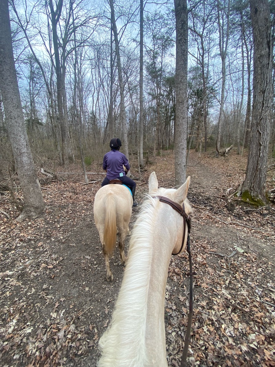
All trails in the United States


Ready to explore the best equestrian trails in the United States? Equilab offers thousands of riding routes for scenic strolls, endurance training, and more. Discover verified trail maps to find the perfect path for your next adventure, and then track your ride – all using the world's best horse riding app.
Most popular trails


Hauser loop plus dnr loop to Koth road and back to hauser loop
Winding trail to the HT F no

fairly easy trail. very beautiful views

Roads and tracks, creek Crossing, big traffic, vehicle vehicles
11.3 miles, mostly walking. A lot of hills, great workout!

Rolling hills with gorgeous views.

Ride from Salamonie lost bridge to Salamonie Forest. 8 miles one way on main trails. B there took A back.
Moderate to easy trail just off of the Potomac Pony Club field. Water crossing required and some steep hills. Well labeled and good mix of fields and forest.

we did half and kept getting lost

Got lost and hit dead end

Beautiful wide sandstone trails. Clearly marked, beautiful views. One of my favorites!
Lots of trails. Well marked.
Easy trail some times muddy

Rocky not good for trotting, pretty
A combination of fire lines and established trails
The lower greenhorn creek loop

Woods, fields, dirt tanks. and seasonal wetlands
Beginner friendly trails. Rocks, sand and mud footing

Asphalt road for a mile. Two miles along the river. Hit the rapidan fire road to go thru the mountains back to Graves or left towards fork mountain or Hoover camp.

Mixed surface- took Orange Trail to Green Trail to see the waterfall and campground. Connected over to Blue Trail to the Etowah River which was even higher then last week. Connected to the Pink shortcut Trail back to Blue- tails were drier and we were able to pick up the pace.❤️
Pea gravel. Flat. Wide.
Through neighborhood to creek
Log creek church
Took the left trail from the parking area.Got Rocky so turned around as my horse is barefoot. Encountered one very polite biker. Public gamelans, trail well marked.
Lots of hills and rocks
Fatman squeeze and table top rock
Good trail with water crossing, bridges and friendly bikes

Great loop. Probably 50/50 sun and shade. Don’t remember any rooty or rocky parts.

Rocky and muddy due to rain

Mid Level Workout with beautiful scenery!
Wire grass to Longleaf

Around lake flat and smooth, rocky away from lake, lots of hills

High Country, Campfire Pass, Tinkerbell’s trail and Dudes draw. Plenty of hills. 1 water crossing.

Along Deer Creek and train tracks

SUNY ow pace trail - easy to get lost if you don’t know. Maintained by The Smithtownhunt Hunt for two events a year.
2nd entrance, South side horse trail, service road, service road exit.


Double track jeep road
Part sun part shade.
Easy with some hills and 1 creek

Easy, some hills
Larry’s-home-indian-Walmart-Megan(going up the steep hill on Megan)
Great for trotting and loping with gorgeous views.
To spruce creek Tepee trail

Lots of shade water crossing hilly
50 acre twice Jacktown once’s Tina’s side

Deep footing but nice and relaxing for a trail ride in the woods
Ride down icicle trail to the Streamside view.
Mostly sand roads through the desert. Undulating terrain. Deep sand washes.
Lookouts and Ridge trail
Flat road can ride abreast

This is a nice easy trail. It does have bicyclists and dogs, but the road is pretty wide so there's plenty of room to pass. There are some rocky areas, but nothing too bad.This trail is busy on the weekends, so riding during the week is recommended.

Fl. Horse Park, under 475, then trail to right. A bit up-and-down at the beginning, but then levels off, and has areas that are nice for trotting in cantering.
Rocky..shooting range

Easier olmstead loop with green horse, safer water crossings and not too much tree over hang and wide trails.
From pine creek horse camp, artisan well, crystal falls, unmarked rest spot, buckskin canyon (not worth seeing), sand cave (AWESOME)
Sandy - wooded - two track - beach
Barefoot friendly except for a few gravel crossings

Take ditch far north - make a right- right on King street ride ditch home
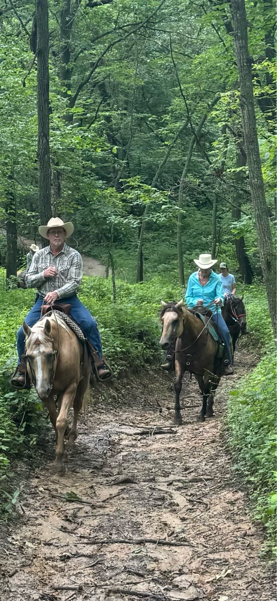
All trails in the United States
Ready to explore the best equestrian trails in the United States? Equilab offers thousands of riding routes for hacking, endurance, and more. Discover verified trail maps to find the perfect path for your next adventure, and then track your ride – all using the world's best horse riding app.
FAQ about Equilab trails
You can explore these trails and many more within the Equilab app! Simply download the app onto your mobile device, create an account, and then head to the “Track” tab. There you can view thousands of trails to discover and ride.
No, Equilab empowers equestrians everywhere to discover and ride trails for free! By creating an account within the app (no payment needed), you will be able to see and ride all public trails. Our Premium subscription offers great additional features, which you can learn more about here.
You can control the visibility of any trails you create using Equilab by selecting different privacy options when saving the trails. If you choose to make a trail "Public", it will be visible here on our website and to anyone using the app. Private trails, on the other hand, are only visible to you and (if you're a Premium user) anyone you share them with. Note: If you rode on private property, we strongly recommend saving your trail as "Private".
Equilab’s list of trails currently only includes those that have been tracked by riders using the Equilab app. As a result, there are still many trails not yet included in our platform. Anyone can track trails and add them for free, however — giving you the chance to help others discover new places to ride!
Yes! You can add a trail from any ride you track using the Equilab app. To so, simply download the app, create an account, then record your ride on the trial.
Note that to create a trail, the ride must be at least one mile long, have taken at least 10 minutes, and must not have been tracked within an arena.
Our community members have added more than 35,000 public trails, and new ones are added every day. We hope you enjoy exploring them!

Contact our team
Feedback & Help
support@equilabapp.com
Press and Partnerships
marketing@equilabapp.com
Business Inquiries
admin@equilabapp.com


