


All trails in the United States


Ready to explore the best equestrian trails in the United States? Equilab offers thousands of riding routes for scenic strolls, endurance training, and more. Discover verified trail maps to find the perfect path for your next adventure, and then track your ride – all using the world's best horse riding app.
Most popular trails


Deam Lake Recreation Area

Calm trail through the mountians next to bouquet canyon rd and vasquez canyon

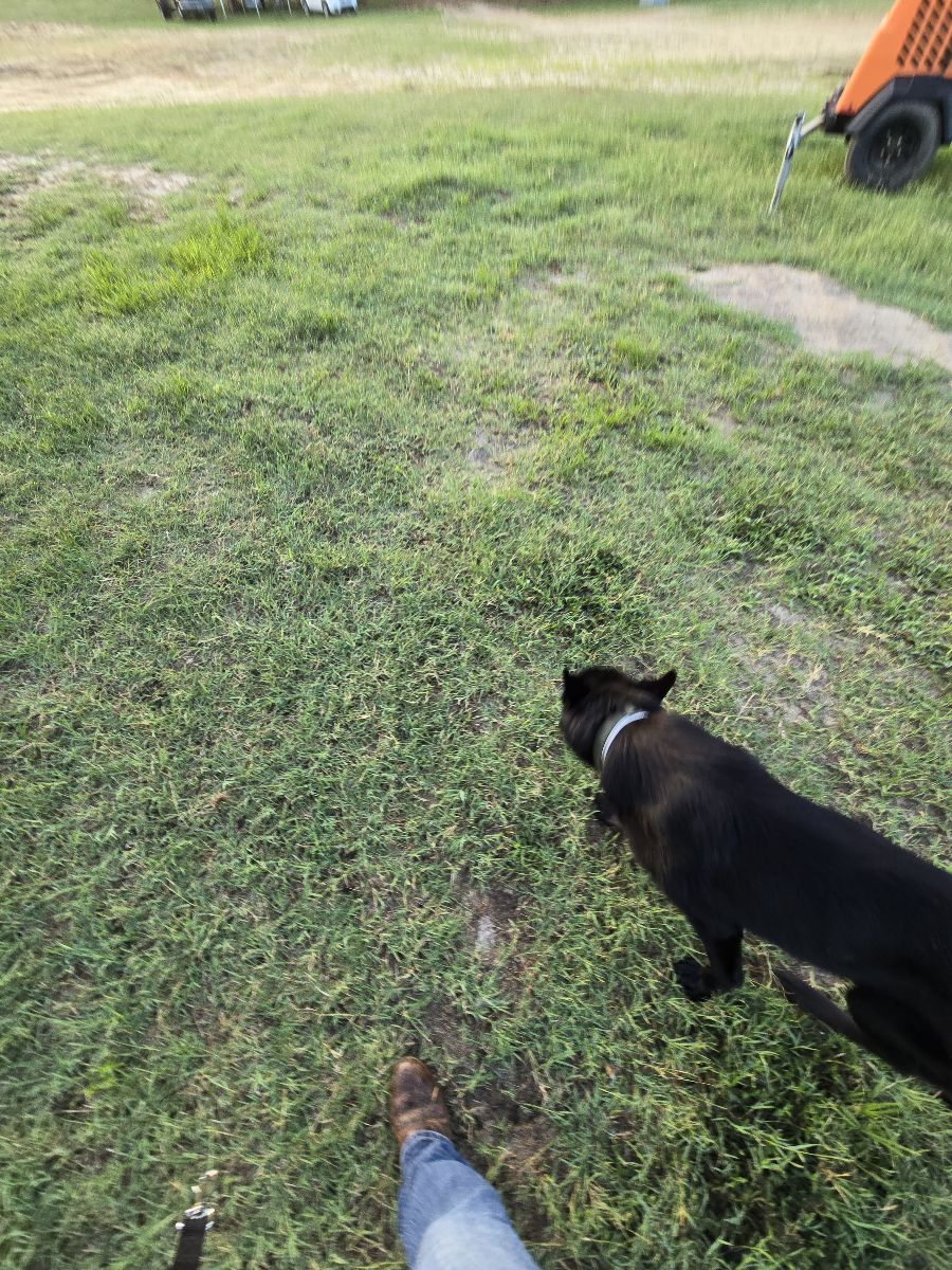
Ride to the “you are here” sign

Lots of water crossings. Narrow. Next to lake

Mostly sugar sand trails. Piney flat woods. Not much shade so best to ride when it’s cool out.
Great day to be alive!
Basic loop at Clinton
Nice calm ride in the orange groves, along Arredondo Road. Please, please don’t go inside the road with a paster out front. Have a nice time!

Small hills solid ground 6.6 miles

Cabin loop is off Bucksnort trail… in between the entrance and exit to the loop are the remains of an ole cabin…. Just the chimney still stands.
Lovely loop, some climbing but mostly easy fire roads on the way to the lake, but way back on Columbine would not be good in wet weather (single track with steep edge that might slide.)
Three mile track also good for xc workouts
The day I made dad wait

Yellow Green. Blue and Brown trail
Stunning canyon, hills, water crossings
Easy, some rocky areas
Left from the horse campground.
A beautiful ride. Rocky and hilly. After normal rains there will be water crossings with mud.
Long loop around the lake
Chuch entrance to bridge & back
Amazing fast run trail

Easy, some small hills
Rocky af but a nice dirt road to race on. Lots of flat tires though

Wide trails rolling open and woods

Park along Zeibright Rd and pick up the trail. Currently can't ride the whole Pioneer Express Trail since the straightening of highway 20. Trail is not maintained in some areas since it's not well used

Forestview Boarding stable to Evergreen Lake
Ride down icicle trail to the Streamside view.
Neighborhood trail, rock formations, water crossing

Two easy loops, partly shaded
Meandering trail through the cinders
Lake loop without doubling over the same path, bit longer
Generally flat with one decent hill to climb. Exposed roots and some rocky areas.

It actually begins at the Roslyn riders Fairgrounds Arena. I forgot to start the app a few miles into the ride.It has one or two technical steep sections you do share with mountain bikers and hikers
Local Lakebay Trails

State forest standards
Easy, two water crossings, 1 bridge
Easy, rode width, one creek crossing
Difficult trails, some sections are very rocky.
Dumajack loop and the new knee knocker. Shows starting from Grassy Pond neighborhood. Trailer parking planned for where dog road meets Greenhead rd.
Road riding on busy roads
Hilly ... not too rocky
Rocky and a lot of bikes, walkers, and digs
Walking/biking trail
Cave, waterfall, shacks
Driveway thru woods thru blue stem in
Main loop I do. Good footing and has a stop by the creek. Single track on way out with nice smooth double track most of the way home. Safe to ride barefoot.
Little rocky, two steep hills, some rally nice areas for trotting and cantering.

Wooded, lots of long ups and downs, rocky

Andrea visit / Tom and Jerry visit
Beautiful, backcountry ride
Little rocky and a little wet.

Lots of shade. No shortcuts back. Don't forget water. Spray yourself and your horses GOOD!
Open riding desert area (fenced in but with jump through gates) the trails branch all over and reconnect, little hills, big hills, washes, rocks, barefoot friendly for the most part
Wooded and opened
Neighborhood trail

All trails in the United States
Ready to explore the best equestrian trails in the United States? Equilab offers thousands of riding routes for scenic strolls, endurance training, and more. Discover verified trail maps to find the perfect path for your next adventure, and then track your ride – all using the world's best horse riding app.
FAQ about Equilab trails
You can explore these trails and many more within the Equilab app! Simply download the app onto your mobile device, create an account, and then head to the “Track” tab. There you can view thousands of trails to discover and ride.
No, Equilab empowers equestrians everywhere to discover and ride trails for free! By creating an account within the app (no payment needed), you will be able to see and ride all public trails. Our Premium subscription offers great additional features, which you can learn more about here.
You can control the visibility of any trails you create using Equilab by selecting different privacy options when saving the trails. If you choose to make a trail "Public", it will be visible here on our website and to anyone using the app. Private trails, on the other hand, are only visible to you and (if you're a Premium user) anyone you share them with. Note: If you rode on private property, we strongly recommend saving your trail as "Private".
Equilab’s list of trails currently only includes those that have been tracked by riders using the Equilab app. As a result, there are still many trails not yet included in our platform. Anyone can track trails and add them for free, however — giving you the chance to help others discover new places to ride!
Yes! You can add a trail from any ride you track using the Equilab app. To so, simply download the app, create an account, then record your ride on the trial.
Note that to create a trail, the ride must be at least 0.6 miles long, have taken at least 5 minutes, and must not have been tracked within an arena.
Our community members have added more than 35,000 public trails, and new ones are added every day. We hope you enjoy exploring them!

Contact our team
Feedback & Help
support@equilabapp.com
Press and Partnerships
marketing@equilabapp.com
Business Inquiries
admin@equilabapp.com


