


All trails in the United States


Ready to explore the best equestrian trails in the United States? Equilab offers thousands of riding routes for scenic strolls, endurance training, and more. Discover verified trail maps to find the perfect path for your next adventure, and then track your ride – all using the world's best horse riding app.
Most popular trails


Back dirt roads, brushy wash, one gate

Beautiful Sandy multi use trail through woods & vale.
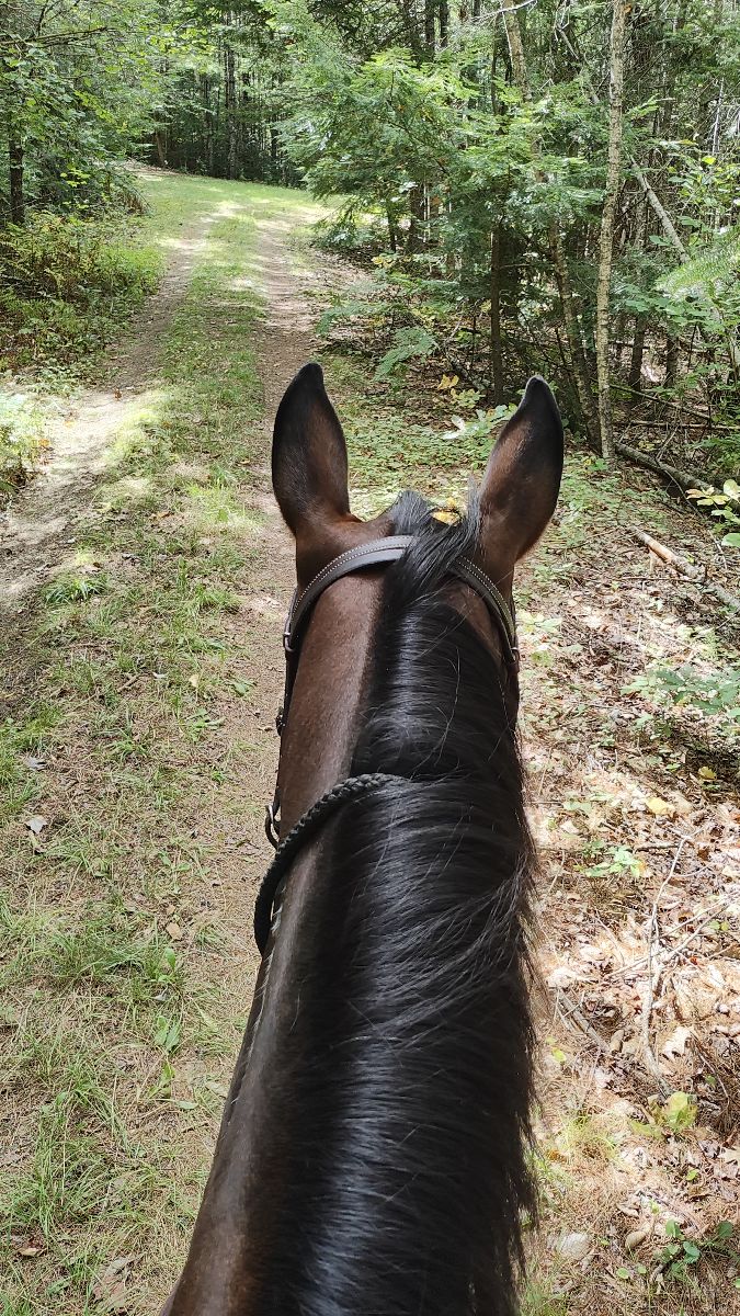
Some gravel, some fire road, but in woods is nice

many miles of beautiful trails and a couple of obstacle courses. Fun place.
Grassy trails through meadows.
Prairie grass some rocks
Roughly 6 mile loop trail. Dogs, hikers, and bicyclists have access to this trail so it's recommended to bring a trail savvy horse. A few steep climbs and street crossings, but a relatively easy ride

Correct distance is 7mi. I forgot to turn on track.
Wire grass to longleaf pine to fix squirrel to Longleaf

Mostly road and beautiful views
The beginning of the creeper trail in Abingdon VA. Shared trail with runners walkers and bikes

Multi use trail in the Palo Duro Canyon State Park System

Hard surface Marked trails

Decently easy going trail, some hills are a bit steeper
Through neighborhood to creek
Powerline trail mixed with wooded area.. spots
Trail to hidden valley. We rode out of Boyd Ranch
Small hills, thru woods, across and beside road, sunny
One major intersection. Limonite.
N. Star Rd lot to Lake Terrell Rd lot cut through

Great loop. Probably 50/50 sun and shade. Don’t remember any rooty or rocky parts.
Mixed forest and prairie. Some obstacles available
Fun not too steep not too narrow loop trail
The back way to initial tree Ôøº
Flat, 1 creek, wide areas for riding 2-3 abreast, areas to canter, gates to open close, cows, bridge to cross, sand, no gravel.
easy and big lake to get in
Faster beginner to slower intermediate ride to cookout location

Pretty, hilly trail through woods. Dirt trail is mostly rocky. Restroom at parking area.

Rocky and wet in some areas. Diverse terrain

Off Road riding
Bridge crossing, water crossing, fields and woods

Not too many bugs
Park at Bussey point horse trailer parking

CA land -this trail completes

So of it is paved but most of it isn't. It has a sand bar and there is a field that you can run them in.

It's Norco, duh.
Mix of all terrain but level.

Around 4 miles. A lot of pine tree trails with minimal road crossings. Mostly on the red trail. Ôøº
Nice trails, mostly wooded, some mild wet spots, some gravel road to get to trails, some marsh areas. Easy footing, some flats, some small hills.
Down to River

Ride from Grove Creek all the way up to Curley Springs turn off, but make a loop around dry Canyon in front of big Baldy.

Part of the horse trail loop at oak openings
Lake to swimming hole and back.

Some rocks, but nice multi-usr trails.
Nice easy trail, several places to move out
Easy trails. A mix of woods and meadows
Includes a water crossing or 2 depending on weather. Some gravel rock areas hard on tender foots.
This adds a couple miles onto the river trail no
Woods, rocky, I got lost/turned around

Trail from Adamcin equestrian center to CDO Wash
There was some areas of standing water. New trail was beautiful came out on sand trail then back on spur.
Good trail. Roadways were wide and hot. Wood trails buggy but easy. No breeze until we came out of woods.
Lots of hills. Some rocky areas. Super nice ride and close yo home!

Nice trail but a bit rocky. Boots or shoes would be a good idea. View from the upper trail is spectacular and the lower trail follows the river.

Blue west , yellow east ,blue west ,green west yellow , red east blue

Cross country trail, some road riding. State trust Land permit needed.
All trails in the United States
Ready to explore the best equestrian trails in the United States? Equilab offers thousands of riding routes for scenic strolls, endurance training, and more. Discover verified trail maps to find the perfect path for your next adventure, and then track your ride – all using the world's best horse riding app.
FAQ about Equilab trails
You can explore these trails and many more within the Equilab app! Simply download the app onto your mobile device, create an account, and then head to the “Track” tab. There you can view thousands of trails to discover and ride.
No, Equilab empowers equestrians everywhere to discover and ride trails for free! By creating an account within the app (no payment needed), you will be able to see and ride all public trails. Our Premium subscription offers great additional features, which you can learn more about here.
You can control the visibility of any trails you create using Equilab by selecting different privacy options when saving the trails. If you choose to make a trail "Public", it will be visible here on our website and to anyone using the app. Private trails, on the other hand, are only visible to you and (if you're a Premium user) anyone you share them with. Note: If you rode on private property, we strongly recommend saving your trail as "Private".
Equilab’s list of trails currently only includes those that have been tracked by riders using the Equilab app. As a result, there are still many trails not yet included in our platform. Anyone can track trails and add them for free, however — giving you the chance to help others discover new places to ride!
Yes! You can add a trail from any ride you track using the Equilab app. To so, simply download the app, create an account, then record your ride on the trial.
Note that to create a trail, the ride must be at least 0.6 miles long, have taken at least 5 minutes, and must not have been tracked within an arena.
Our community members have added more than 35,000 public trails, and new ones are added every day. We hope you enjoy exploring them!

Contact our team
Feedback & Help
support@equilabapp.com
Press and Partnerships
marketing@equilabapp.com
Business Inquiries
admin@equilabapp.com


