


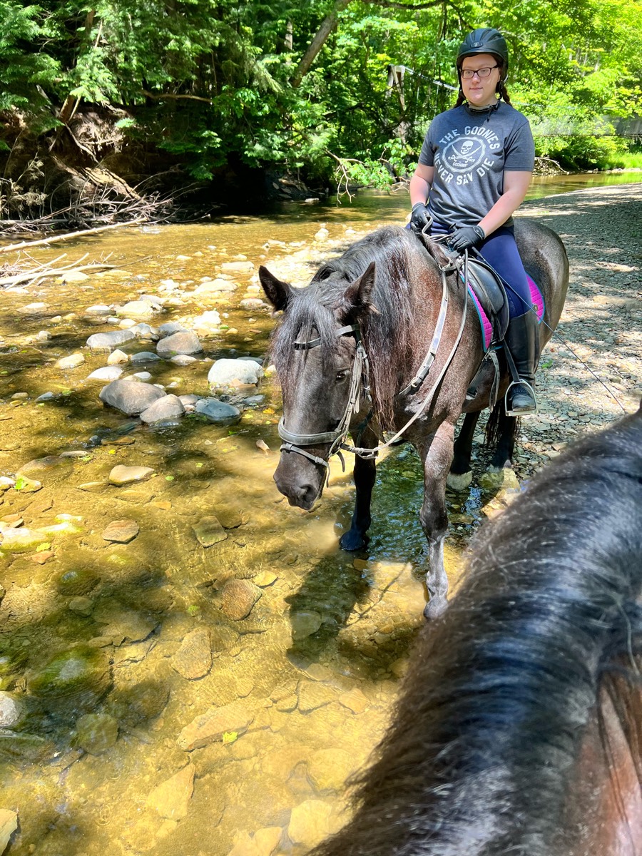
All trails in the United States


Ready to explore the best equestrian trails in the United States? Equilab offers thousands of riding routes for scenic strolls, endurance training, and more. Discover verified trail maps to find the perfect path for your next adventure, and then track your ride – all using the world's best horse riding app.
Most popular trails


Red, blue, yellow, green loop

Road-Asphalt and dirt around cemetery and pond

Lake loop and Hollis ranch loop

Park in Bussey Point Horse Trailer Parking
Old train trail. Flat, straight, rocky in areas. Shared trail will runners and bicyclists.
Medium hills, great for trotting and loping. Mixed ground. Intervals to walk necessary
Start on the pipeline on the right side when headed toward Grand Canyon.
We rode counterclockwise and did not do most of the jump trails. Nice view of the reservoir. Ôøºgood hills - could be muddy Ôøº
Endurance ride 15 mile loop
Access rd to other side of a frame
Up hill towards Strawbridges, to metal bridge and usual covered bridge with extra trail
Mohican Red Blue loop

Mix of meadow and trees, varying degrees of difficulty depending on route selection
It has some steep, rocky down hill places. Pretty rocky I suggest either shoes or boots for your horse for the trail.

Trail thru state park woodlands hip
Flash is fucking huge horse. He’s fast and rides like a fullback but was fun. (Flash is a race horse)
River loop and loop around the lake and back to the parking lot at Howell woods. Multi-use park is open every Sunday to horseback riding. The hunting season is over open every day for fishing, biking and horseback riding.
Rocky and smooth, multiple trails, bridges
Rocky with steep spots
Park in Rogers MN

Trail head to the river
A combination of hills, washes and road. Recommend shoes as it is rocky
Go to Wendy’s
Easy sandy . Woods
Multi use trail with hikers and bikers
Traffic busy bikes
Easy, lots of spots to trot/canter

ASSUNPINK UPPER FREEHOLD NJ
Sandy, wide, flat trails
Trail for ranch
Light traffic; grassy equine trails with shared trail crushed gravel
No ring work today

Mingo half orange loop(found large puff balls 10/8)

Carlisle - North Loop to Vistor Center and back
Lovely hills and climbs. Water crossings.

Roads, Gallagher, fair grounds
Moderate riding trail
Cabin-blue trail-picnic-shortcut to cabin

Asphalt road for a mile. Two miles along the river. Hit the rapidan fire road to go thru the mountains back to Graves or left towards fork mountain or Hoover camp.


Girdled rd reservation. At the second man bridge cross the creek and head up the hill for a good out and back work out.
Sky Meadow State Park Equestrian Trails, both sides of route 17, including the mountain.Ôøº
Delaware & Lehigh Trail starting in Bowmanstown

There is a flat pine/palmetto forest called Pine Island, a hardwood forest called the wide (with natural water and a creek to cross), there is the badlands which has mostly hard packed sand trails and hills
Level wide trail by fields
Ride river trail behind watson house
Pretty flat some muddy areas
Lots of rocks and also lots of really fine dirt and up and down a lot into  little Arroya’s .
Along the river and over 2 wooden bridges. Magnum took the ditches. V brave!
Trail has alot of shade

Our Hocking Hills Weekend
Dirt Road,trail, forest road
Part of all loops?
Blue “creek” to yellow trail

Wide trails. Rocky areas. Smooth areas.
Day one at cypress creek, short ride.

The trail we take to and back from the barn to Heritage Park

Beautiful hills and open fields trail loop

Full big lyles medow loop
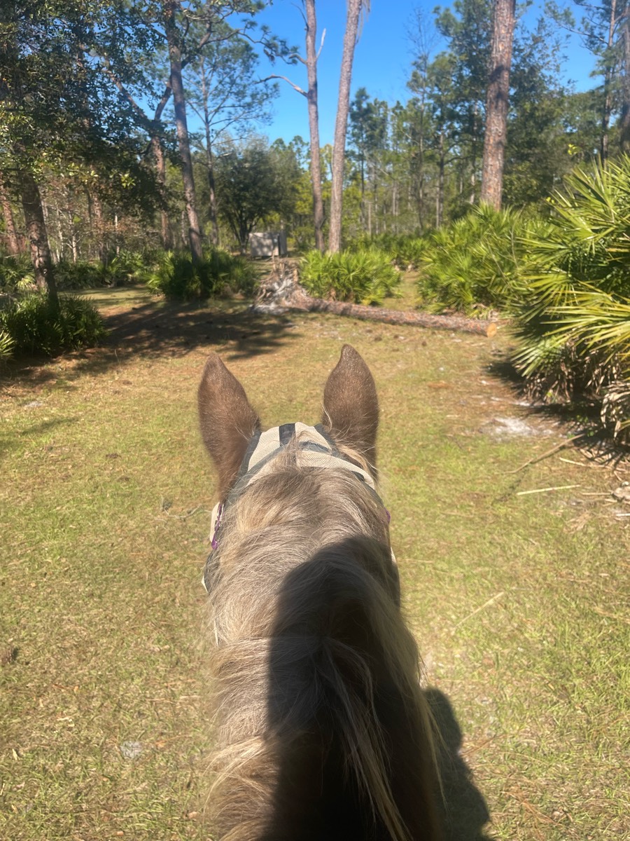
All trails in the United States
Ready to explore the best equestrian trails in the United States? Equilab offers thousands of riding routes for scenic strolls, endurance training, and more. Discover verified trail maps to find the perfect path for your next adventure, and then track your ride – all using the world's best horse riding app.
FAQ about Equilab trails
You can explore these trails and many more within the Equilab app! Simply download the app onto your mobile device, create an account, and then head to the “Track” tab. There you can view thousands of trails to discover and ride.
No, Equilab empowers equestrians everywhere to discover and ride trails for free! By creating an account within the app (no payment needed), you will be able to see and ride all public trails. Our Premium subscription offers great additional features, which you can learn more about here.
You can control the visibility of any trails you create using Equilab by selecting different privacy options when saving the trails. If you choose to make a trail "Public", it will be visible here on our website and to anyone using the app. Private trails, on the other hand, are only visible to you and (if you're a Premium user) anyone you share them with. Note: If you rode on private property, we strongly recommend saving your trail as "Private".
Equilab’s list of trails currently only includes those that have been tracked by riders using the Equilab app. As a result, there are still many trails not yet included in our platform. Anyone can track trails and add them for free, however — giving you the chance to help others discover new places to ride!
Yes! You can add a trail from any ride you track using the Equilab app. To so, simply download the app, create an account, then record your ride on the trial.
Note that to create a trail, the ride must be at least 0.6 miles long, have taken at least 5 minutes, and must not have been tracked within an arena.
Our community members have added more than 35,000 public trails, and new ones are added every day. We hope you enjoy exploring them!

Contact our team
Feedback & Help
support@equilabapp.com
Press and Partnerships
marketing@equilabapp.com
Business Inquiries
admin@equilabapp.com


