


All trails in the United States


Ready to explore the best equestrian trails in the United States? Equilab offers thousands of riding routes for scenic strolls, endurance training, and more. Discover verified trail maps to find the perfect path for your next adventure, and then track your ride – all using the world's best horse riding app.
Most popular trails


Nice wide trails and marked areas through the Park

Trails and open fields to the camp grounds.
Easy all paved roads nice shoulder
Right of way between 4 mile and 6 Mile

Not too many rocks
State park wooded trails
Granite mountain various


This is going through the cut off. Not the whole trail. When it rains there is a lot of muddy spots. One hill is very rocky.


The slightly longer version
One section of trails
Easy peasy- no lake swimming

Along the river - up the hillside - rode thru state land - gravel road - looped back down to the river
Small trail loop at Lake Isabella
Twinline-PoachersPath-Blue-Mud-Pond


Forbidden Drive and the trail leading to the treehouse, mostly flat with one or two up hills no
One section of trails

Horsemen's to Portage Lake Parlor


Neighborhood and field
Both are neighborhoods, short usage of bridle path. Morrison ranch has lots of shade, great for summer strolls

Pine hollow start. Up the cascade springs and up to primrose (big climb). Down willow hollow to connect to pine hollow again

Most of the trail is a single track thru the woods, several wooden bridge crossings, one being very long, must walk thru a tunnel going under the highway, good footing, not rocky, water access is at about 5mi out then you return on the same trail to the trailer parking
Long trail on horseback, lots of hills, roots, and jumps

Wiregrass Loop, Long Leaf Pine, Fox Squirrel Loop
Orange red yellow jeep

Dog Cholla to Buena Suarte Road to Crystal Trail to Camino Viejo Trail to Contrabando Waterhole Trail to West Main Trail to N Lone Star Mine Road to Buena Suarte Road to Rock Quarry Trail to Buena Suarte Road
Genito to Balmoral Woods
Easy with mountain bikes possible
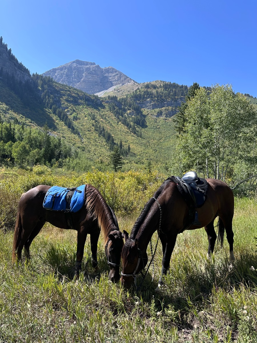
You can do this trail from timpanooke or salamander to shorten it. Camping up on the equestrian loop just past timpanooke trailhead. 3 decent climbs but forgiving in nature. 2-3 water stops. Roots but low on rocks. Nice views. Busy at trail junctions and 2 road crossings.

To the left of the boat ramp wide clear trails. To the right of the ramp narrow trail down by the water. Better to stay on the trails higher up.
Reynolds’s creek
Green lake ride only open to paid members of Waterloo at certain times of the year
Half is paved, half is dirt. Not a lot of traffic. Woods


Pines cordwood mud hole
One of many trails on this land. Super fun. Take plenty of water to drink. Requires a day/weekend pass. (free) online. Camping tent only.
Wash riding and mountain if desired


Adds some pines. Easy loop
From Bullards Beach State Park horse camp

Sand a little rocky. Drop off on back side of trail. Not for green horses. Bullet did pretty well.
very hilly and wide open spaces
Black Forest Colorado

Pass hunters station/right & up hill at Orange/Pink sign as

Sandy with elevation. Leads to swamp


started at Harmony Ln to Berry’s Mill Rd
Highland Park North
3 concrete bridges and trail through woods
Nice no trees down

Part of the Blue Marsh full loop trail. Combo of single track and wider field trail. Well marked.
Horsemen's to Electric camp, back to Horsemen's, out around lake
All trails in the United States
Ready to explore the best equestrian trails in the United States? Equilab offers thousands of riding routes for hacking, endurance, and more. Discover verified trail maps to find the perfect path for your next adventure, and then track your ride – all using the world's best horse riding app.
FAQ about Equilab trails
You can explore these trails and many more within the Equilab app! Simply download the app onto your mobile device, create an account, and then head to the “Track” tab. There you can view thousands of trails to discover and ride.
No, Equilab empowers equestrians everywhere to discover and ride trails for free! By creating an account within the app (no payment needed), you will be able to see and ride all public trails. Our Premium subscription offers great additional features, which you can learn more about here.
You can control the visibility of any trails you create using Equilab by selecting different privacy options when saving the trails. If you choose to make a trail "Public", it will be visible here on our website and to anyone using the app. Private trails, on the other hand, are only visible to you and (if you're a Premium user) anyone you share them with. Note: If you rode on private property, we strongly recommend saving your trail as "Private".
Equilab’s list of trails currently only includes those that have been tracked by riders using the Equilab app. As a result, there are still many trails not yet included in our platform. Anyone can track trails and add them for free, however — giving you the chance to help others discover new places to ride!
Yes! You can add a trail from any ride you track using the Equilab app. To so, simply download the app, create an account, then record your ride on the trial.
Note that to create a trail, the ride must be at least one mile long, have taken at least 10 minutes, and must not have been tracked within an arena.
Our community members have added more than 35,000 public trails, and new ones are added every day. We hope you enjoy exploring them!

Contact our team
Feedback & Help
support@equilabapp.com
Press and Partnerships
marketing@equilabapp.com
Business Inquiries
admin@equilabapp.com


