


All trails in the United States


Ready to explore the best equestrian trails in the United States? Equilab offers thousands of riding routes for scenic strolls, endurance training, and more. Discover verified trail maps to find the perfect path for your next adventure, and then track your ride – all using the world's best horse riding app.
Most popular trails


Sandhills with elicia
It had Palmetto thickets, pine trees, oak stands with lovely shade. Well marked trails
Wire grass to Longleaf pine to fox squirrel to to Longleaf pine

Quiet. Peaceful. Beautiful. Lots of trails

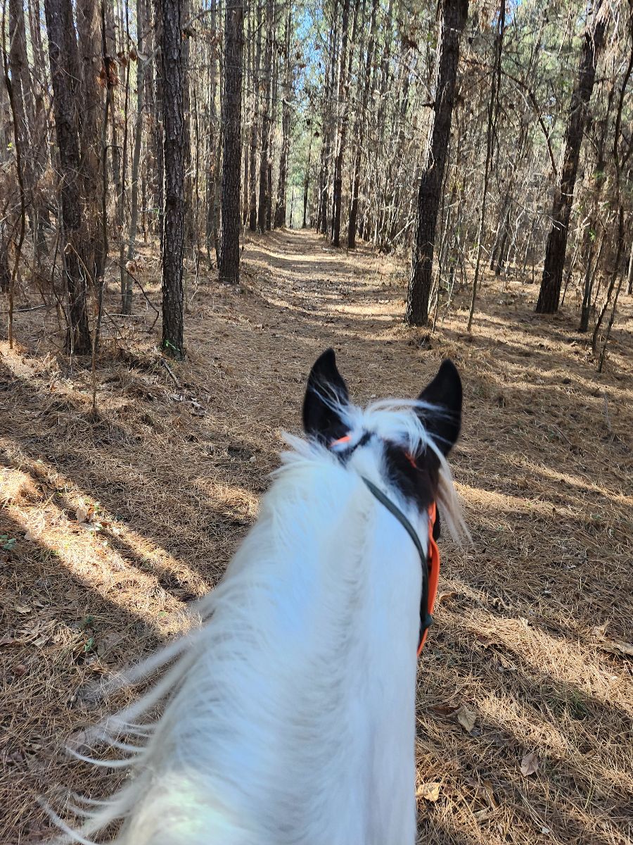
Small hills solid ground 6.6 miles
Riding the trails any the Allen County Equestrian Course

Blue Marsh Lake
Sandy mostly flat, beautiful forest
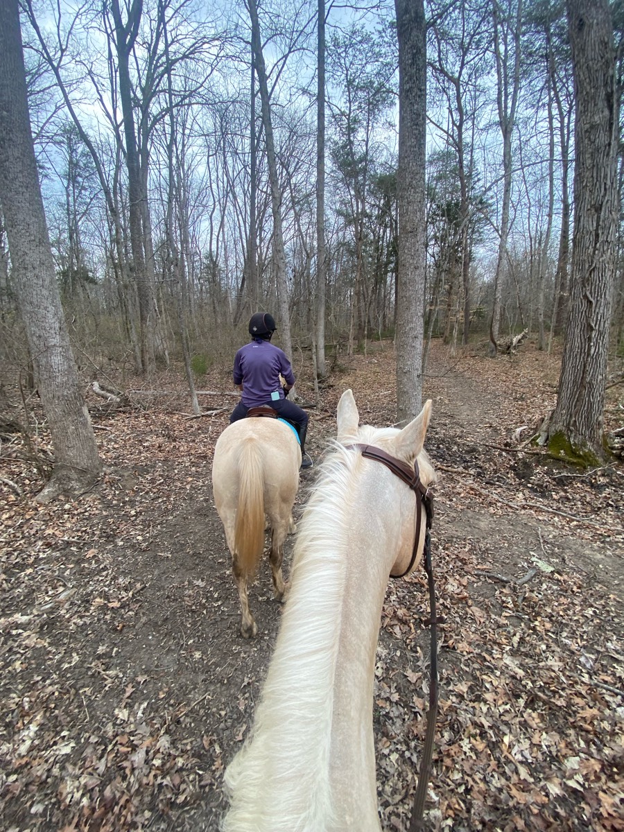
nice area to trail ride... woods and open areas
Mixed forest and prairie. Some obstacles available
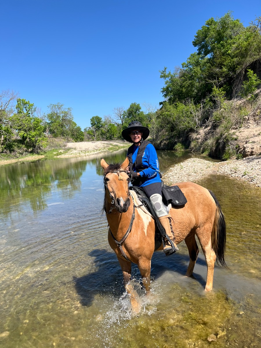
Lake Lavon. Texas
Folsom Lake beach trail out of Sterling Point


Big area to ride in flat with nice ground
Very stony. Wish she had had shoes on.
Good trail for running my pony.
Church entrance to Allwood entrance


Mingo half orange loop(found large puff balls 10/8)

Woods with water crossings
Nice trail, flat plus rolling hills. Perfect in fall and spring before bugs!
Plenty of hill work. Rocky. Front boots required, no real water source for drinking on this particular trail.parking is terrible. No goosebeck! Lovely ride!
Great camping and riding
Mixture of wetlands and uplands. Lots of pigs

Trees & meadows. Cross country jumps
Easy, rode width, one creek crossing
Local Lakebay Trails
WTK to River Trail

Beautiful ride to the lake that was dry in August

Just a nice trail Ôøº
Cherry Laurel to Paddock Way
Loop of the clay hill Nolan neighborhood
 a little mucky, but nice trails marked Ron’s Place is awesome. He thought of everything for horse in Ryder. There is a state camp up the road.
Easy pretty short ride

Adds some pines. Easy loop
Mostly flat, open. Easy trail. Trees and strip mines


One track and two track front with Rio. Behind Tico. At the very back behind horse and ponied horse. Bastrop TX

Easy , shaded, water at the end

Nice terrain, half woods half open


Partial open, partially wooded
Road, highline, trails
Moderate to easy trail just off of the Potomac Pony Club field. Water crossing required and some steep hills. Well labeled and good mix of fields and forest.

Pines, sand , gravel road, seasonal road, two track


Started at Circle B (now Trailhead Hideaway), cut across to near Hayes Canyon, road ride to Shotgun Eddie’s. Stopped by Hayes Canyon on the way back to ride by the barrel.


Ôøº beautiful, lots of flat areas

Spots were Kind of rocky, tiny water crossing then nice big creek at the end of trail, nice trail
Trail to 21 horse cave
Plenty of trail options. Nice wide smooth as well as steep & more complicated. Creek crossings. There is a gravel pit up top people use target practice. Saw some very recent bear sign. Campsites are big, open, clean, have highline poles. Water spigots. Muck boxes. Clean restroom.
This is a nice easy trail. It does have bicyclists and dogs, but the road is pretty wide so there's plenty of room to pass. There are some rocky areas, but nothing too bad.This trail is busy on the weekends, so riding during the week is recommended.
Loop from pasture barn around the staging area parking lot and back.
Fun and hilly, very technical
Had to turn around because of downed tree.. moderate rocks and muddy holes
Fairly rocky. Have a map
Long line section is very steep


SandyFollows the road side with different branches that trail off to smaller paths
Easy trail -well worn and marked.
Lots of hills - almost exclusively in the woods.
All trails in the United States
Ready to explore the best equestrian trails in the United States? Equilab offers thousands of riding routes for scenic strolls, endurance training, and more. Discover verified trail maps to find the perfect path for your next adventure, and then track your ride – all using the world's best horse riding app.
FAQ about Equilab trails
You can explore these trails and many more within the Equilab app! Simply download the app onto your mobile device, create an account, and then head to the “Track” tab. There you can view thousands of trails to discover and ride.
No, Equilab empowers equestrians everywhere to discover and ride trails for free! By creating an account within the app (no payment needed), you will be able to see and ride all public trails. Our Premium subscription offers great additional features, which you can learn more about here.
You can control the visibility of any trails you create using Equilab by selecting different privacy options when saving the trails. If you choose to make a trail "Public", it will be visible here on our website and to anyone using the app. Private trails, on the other hand, are only visible to you and (if you're a Premium user) anyone you share them with. Note: If you rode on private property, we strongly recommend saving your trail as "Private".
Equilab’s list of trails currently only includes those that have been tracked by riders using the Equilab app. As a result, there are still many trails not yet included in our platform. Anyone can track trails and add them for free, however — giving you the chance to help others discover new places to ride!
Yes! You can add a trail from any ride you track using the Equilab app. To so, simply download the app, create an account, then record your ride on the trial.
Note that to create a trail, the ride must be at least 0.6 miles long, have taken at least 5 minutes, and must not have been tracked within an arena.
Our community members have added more than 35,000 public trails, and new ones are added every day. We hope you enjoy exploring them!

Contact our team
Feedback & Help
support@equilabapp.com
Press and Partnerships
marketing@equilabapp.com
Business Inquiries
admin@equilabapp.com


